Camp Lewis
Campground
Campground · 2.9 mi from the trail
The Mjölnir Trail is an easy, short out-and-back hike in Lake Ames Park, a city-managed park in New Jersey. The route is about 1.2 miles long, with a total elevation gain of 532 feet, and the climb is back-loaded, meaning it gets steeper near the top of the trail. The high point is 974 feet, and the trail starts and ends at that level, so the ascent and descent are both about 532 feet. The most comfortable time to go is typically late spring or early fall. At a nearby weather station, typical averages run to highs around 70°F in May and 75°F in September, while July peaks near 83°F. The hike takes about half an hour, and it sits among several other trails in the park. The Blue Flipper Trail and Iron Spirit Trail are each about 0.4 miles away, and the Evergreen Trail is about 0.6 miles off. Paddlers can head to the Rockaway River, roughly 2.1 miles away.
Camp Lewis
Campground
 If it rainsJerrye & Roy Klotz, MD, CC BY-SA 3.0 · Wikimedia Commons
Boonton Historical Society and Museum
Museum
Historical society and museum in Boonton, New Jersey
Places © OpenStreetMap contributors, Places © Overture Maps Foundation · Photos: Jerrye & Roy Klotz, MD, CC BY-SA 3.0 (commons)
More in HackettstownNot on Roamze yet. Their page has how to reach them.
 Rockaway RiverCanoeingPhoto: Zeete, CC BY-SA 4.0 (via Wikimedia Commons)2.1 mi
Source: Roamze catalog (indexable pages within 10 miles, PostGIS distance)
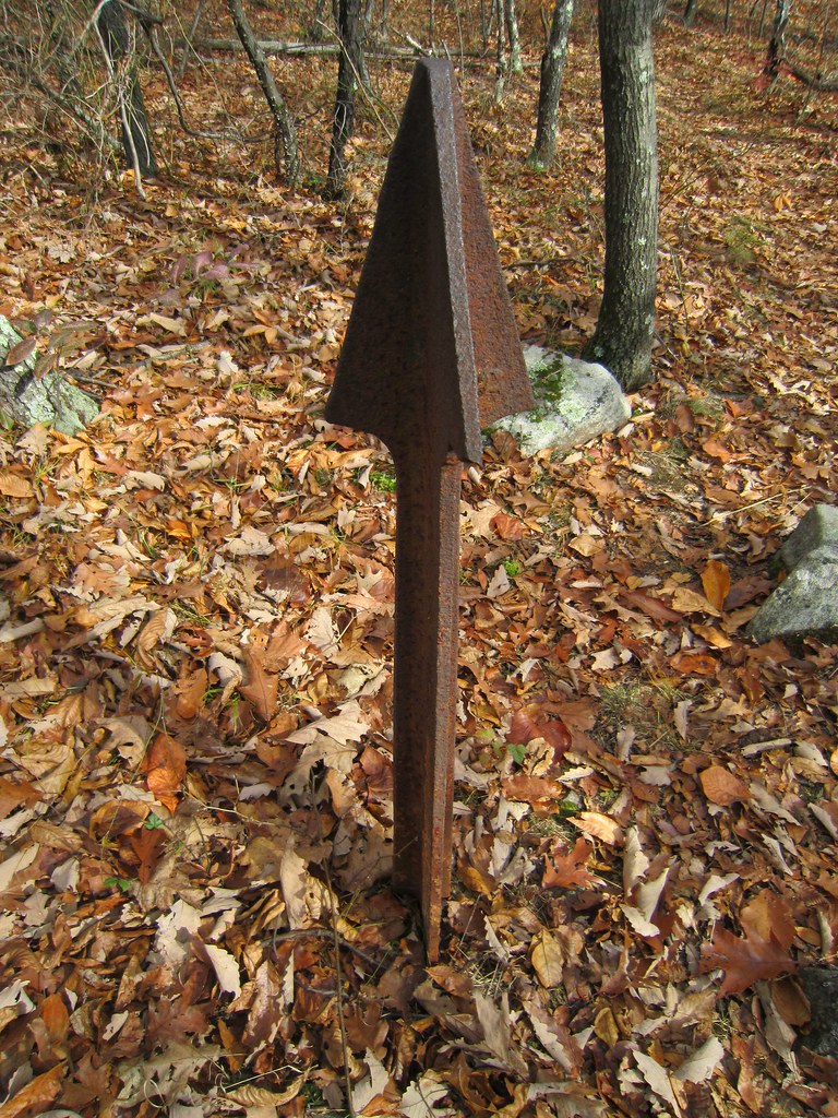 Beach Glen TrailHiking · ~2 min drivePhoto: syvwlch, CC BY 2.0 (via Flickr)
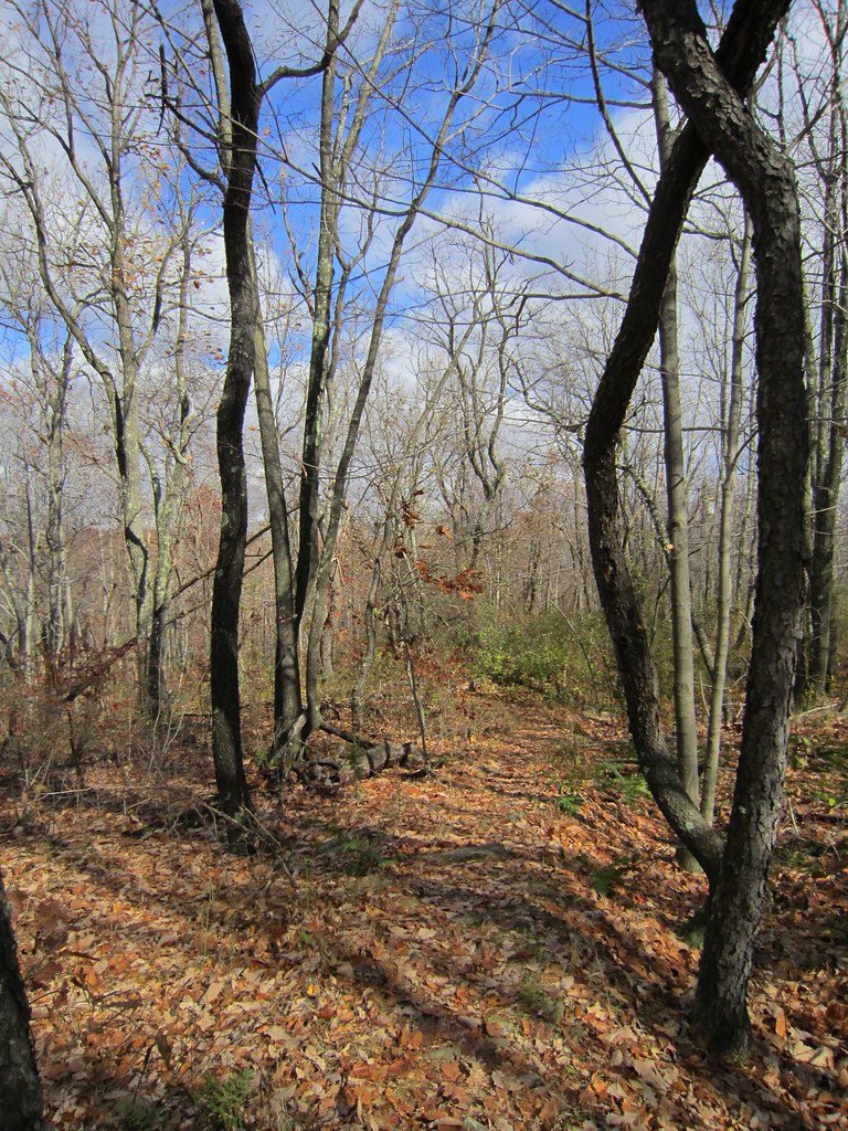 Splitrock TrailHiking · ~4 min drivePhoto: syvwlch, CC BY 2.0 (via Flickr)Four Birds TrailHiking · ~4 min drivePhoto: syvwlch, CC BY 2.0 (via Flickr)
 Hibernia Brook TrailHiking · ~4 min drivePhoto: syvwlch, CC BY 2.0 (via Flickr)
 Flyway SpurHiking · ~4 min drivePhoto: syvwlch, CC BY 2.0 (via Flickr)
 MeridenHiking · ~4 min drivePhoto: syvwlch, CC BY 2.0 (via Flickr)Wildcat Ridge TrailHiking · ~4 min drivePhoto: syvwlch, CC BY 2.0 (via Flickr)Meriden TrailHiking · ~4 min drivePhoto: syvwlch, CC BY 2.0 (via Flickr)Righter Mine TrailHiking · ~5 min drivePhoto: syvwlch, CC BY 2.0 (via Flickr)Old Koehler TrailHiking · ~5 min drivePhoto: syvwlch, CC BY 2.0 (via Flickr)
Best months: April–October. Best months have typical highs of 55–85 °F, lows of 30 °F or warmer (32 °F where the station doesn't record snow), at most one snowy day and no more than 12 wet days.
Jan
36° / 19°
11 wet
Feb
39° / 19°
9 wet
Mar
47° / 27°
11 wet
Apr
59° / 38°
11 wet
May
70° / 48°
11 wet
Jun
78° / 57°
11 wet
Jul
83° / 61°
10 wet
Aug
81° / 59°
9 wet
Sep
75° / 52°
8 wet
Oct
63° / 41°
9 wet
Nov
51° / 32°
8 wet
Dec
41° / 25°
10 wet
Typical high / low (°F) and days with rain or snow, 1991–2020. Measured at Charlotteburg Rsvr, NJ, 6.8 mi away at 778 ft. This station doesn't record snowfall. Source: NOAA NCEI U.S. Climate Normals 1991–2020.
Map and trail data © OpenStreetMap contributors
