Lower Trail
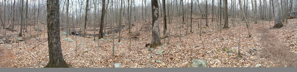 Photo: _strata_, CC BY 2.0 (via Flickr)
- 1.3 mi
- one way
- 193 ft
- climb
- 613 ft
- high point
- Point to point
- route
- Apr–Oct
- best months
Lower Trail is a short, easy hike in Norvin Green State Forest in New Jersey, managed by the State Department of Natural Resources. The route is about 1.3 miles long, with a total elevation gain of 193 feet from a starting point around 505 feet to a high point of 613 feet. The climb is gentle overall, but the steepest stretch comes at about the 1-mile mark, where the grade reaches 13 percent. For comfortable weather, late spring and early fall are the best bets. Typical averages from a nearby weather station at Wanaque Raymond Dam show May highs around 71°F and September highs around 76°F, with July the warmest month at about 84°F. That station sits roughly 370 feet lower than the trail's high point, so temperatures on the trail run a bit cooler. The hike takes about half an hour, and it makes an easy pairing with other trails in the area. Carris Hill Connector Trail is about 0.4 miles away, High Point Loop is about 1.1 miles away, and Wyanokie Circular Loop Trail is about 1.3 miles away. Paddlers can reach the Wanaque River, about 1.7 miles off.
Local outfitters
- Pier 13 Hoboken26 mi away
Not on Roamze yet. Their page has how to reach them.
Best time to go · Apr–Oct
Best time to visit Lower Trail
Best months: April–October. Best months have typical highs of 55–85 °F, lows of 30 °F or warmer (32 °F where the station doesn't record snow), at most one snowy day and no more than 12 wet days.
Jan
38° / 20°
10 wet
Feb
40° / 20°
8 wet
Mar
48° / 29°
10 wet
Apr
59° / 39°
11 wet
May
71° / 50°
12 wet
Jun
79° / 58°
11 wet
Jul
84° / 64°
10 wet
Aug
83° / 63°
10 wet
Sep
76° / 56°
8 wet
Oct
64° / 43°
9 wet
Nov
53° / 35°
8 wet
Dec
43° / 27°
9 wet
Typical high / low (°F) and days with rain or snow, 1991–2020. Measured at Wanaque Raymond Dam, NJ, 1.8 mi away at 245 ft. This station doesn't record snowfall. Source: NOAA NCEI U.S. Climate Normals 1991–2020.
Keep exploring — more trails worth the drive
Photo: _strata_, CC BY 2.0 (via Flickr)Carris Hill Connector Trail
Next door
0.72-mile out-and-back trail in New Jersey with 479 ft elevation gain.
 Photo: syvwlch, CC BY 2.0 (via Flickr)
Wyanokie Circular Loop Trail
~2 min drive
1.88-mile point-to-point trail in New Jersey with 503 ft gain.
Photo: syvwlch, CC BY 2.0 (via Flickr)Wyanokie Crest Trail
~3 min drive
Scenic ridgeline point-to-point hike with views across the Wyanokie Highlands.
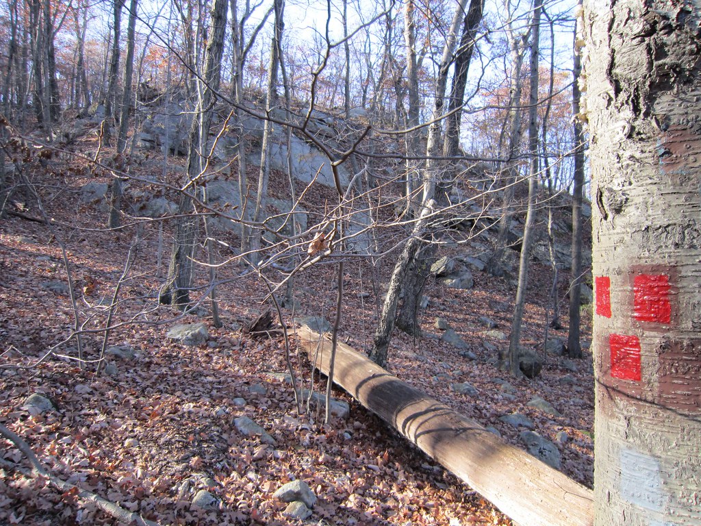 Photo: syvwlch — CC BY 2.0 (via Flickr)
Torne Trail
~2 min drive
0.74-mile point-to-point trail in New Jersey with 93 ft gain
 Photo: syvwlch, CC BY 2.0 (via Flickr)
Skyline Preserve Trail
~4 min drive
1.70-mile point-to-point trail in New Jersey with 389 ft elevation gain
Photo: syvwlch, CC BY 2.0 (via Flickr)Hewitt-Butler Trail
~2 min drive
A brief point-to-point trail through New Jersey's northern highlands.
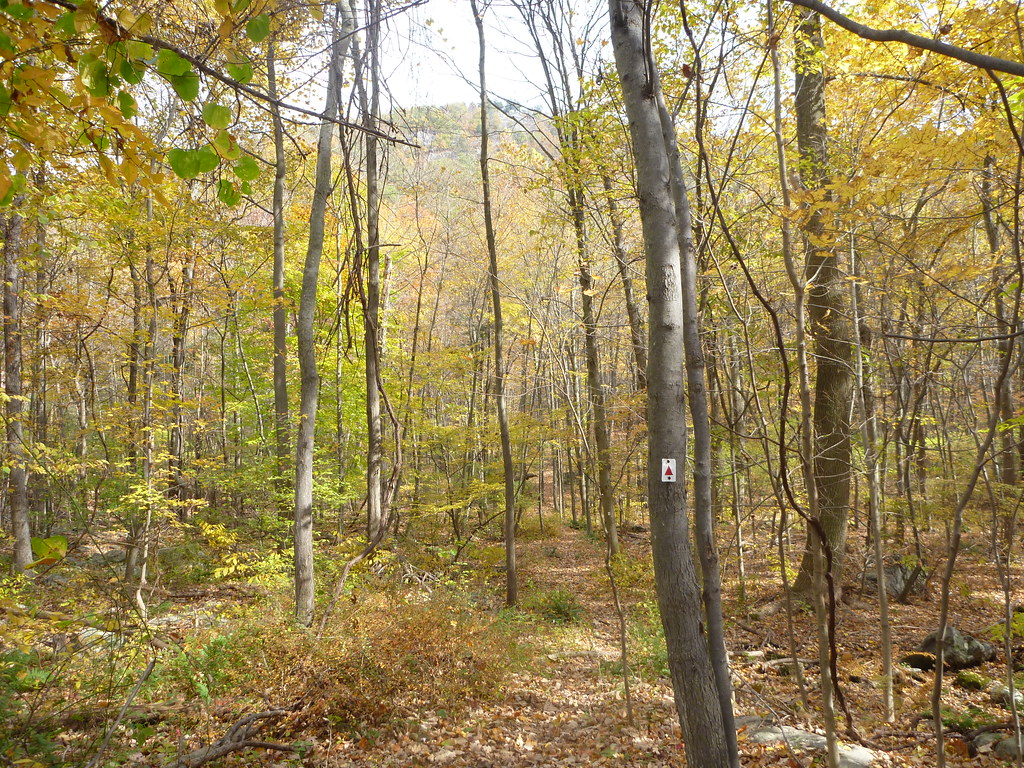 Photo: daveclausen, CC BY 2.0 (via Flickr)
Stonetown Circular Trail
~4 min drive
4.36-mile point-to-point hike in New Jersey with 492 ft gain and 1,140 ft loss.
Photo: syvwlch — CC BY 2.0 (via Flickr)White Trail
~5 min drive
0.37-mile point-to-point trail in New Jersey with 66 ft gain.
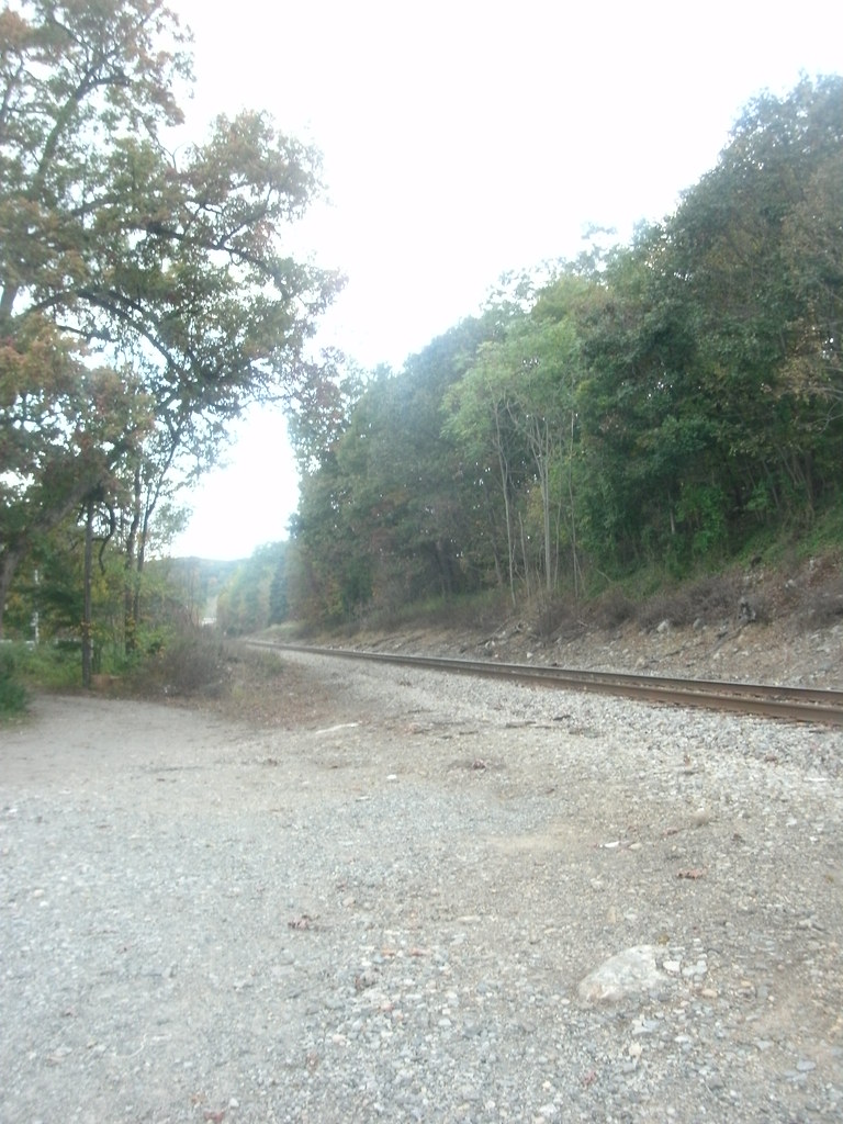 Photo: Roadgeek Adam, CC BY-SA 2.0 (via Flickr)
Indian Rock Trail
~5 min drive
0.88-mile point-to-point trail in New Jersey with 115 ft gain.
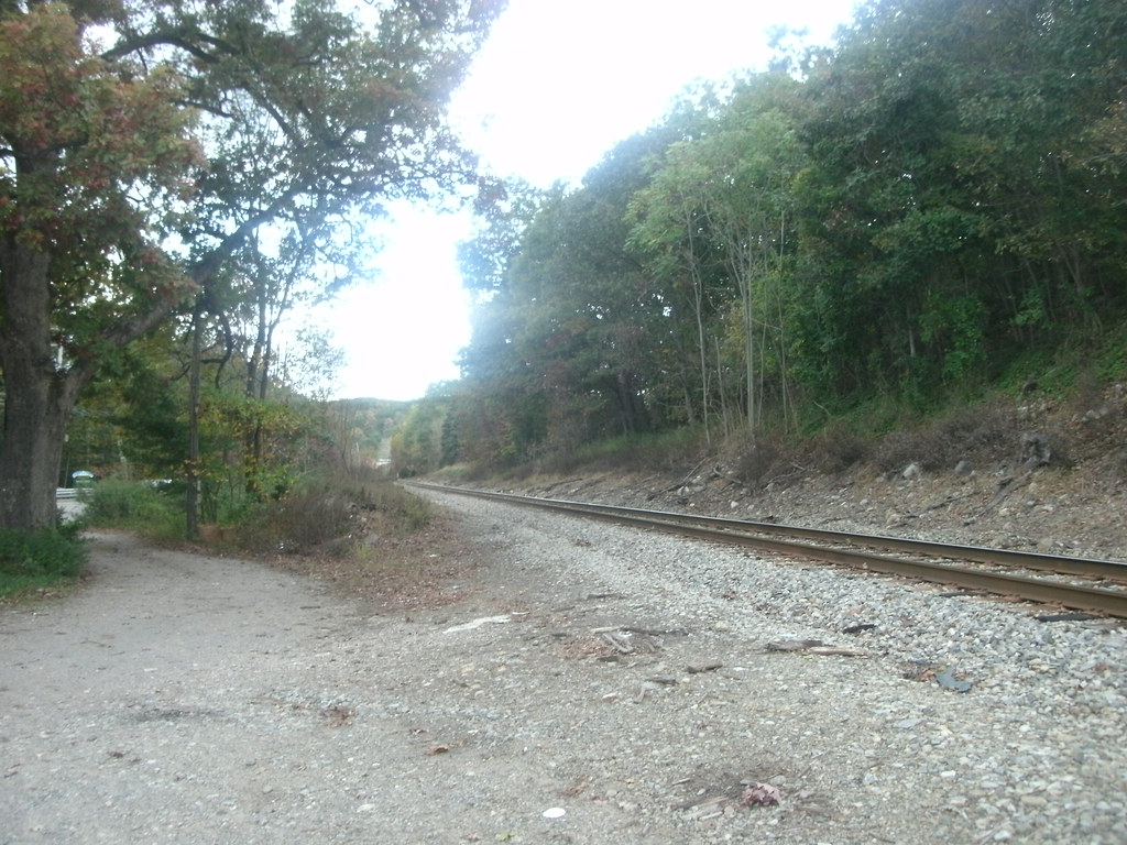 Photo: Roadgeek Adam, CC BY-SA 2.0 (via Flickr)
Ramapo Lake Loop
~5 min drive
Scenic point-to-point trail around Ramapo Lake with easy woodland walking.
Map and trail data © OpenStreetMap contributors
