White Trail
 Photo: syvwlch — CC BY 2.0 (via Flickr)
- 0.4 mi
- one way
- 110 ft
- climb
- 896 ft
- high point
- Point to point
- route
- Apr–Oct
- best months
White Trail is a short, moderate hike in Apshawa Preserve in New Jersey, managed by a non-governmental organization. The trail is 0.37 miles long, with a total elevation gain of 110 feet, and it rises from about 836 feet to a high point of 896 feet before descending slightly to 765 feet. The climb is front-loaded, with the steepest stretch at about 0.27 miles in, where the grade reaches 11 percent. Late spring and early fall are the most comfortable times to go. Typical averages from a nearby weather station show May highs around 70°F and September highs around 75°F, with lows near 48°F and 52°F. That station sits a few hundred feet lower than the trail, so temperatures on the higher ground run a little cooler. The hike takes about half an hour. The Green Loop Trail and the Blue Trail both start within about a third of a mile, and the Red Loop Trail is about half a mile away. Climbers can find the b. North Central area about 3 miles off.
Local outfitters
- Pier 13 Hoboken27 mi away
Not on Roamze yet. Their page has how to reach them.
Best time to go · Apr–Oct
Best time to visit White Trail
Best months: April–October. Best months have typical highs of 55–85 °F, lows of 30 °F or warmer (32 °F where the station doesn't record snow), at most one snowy day and no more than 12 wet days.
Jan
36° / 19°
11 wet
Feb
39° / 19°
9 wet
Mar
47° / 27°
11 wet
Apr
59° / 38°
11 wet
May
70° / 48°
11 wet
Jun
78° / 57°
11 wet
Jul
83° / 61°
10 wet
Aug
81° / 59°
9 wet
Sep
75° / 52°
8 wet
Oct
63° / 41°
9 wet
Nov
51° / 32°
8 wet
Dec
41° / 25°
10 wet
Typical high / low (°F) and days with rain or snow, 1991–2020. Measured at Charlotteburg Rsvr, NJ, 2.4 mi away at 778 ft. This station doesn't record snowfall. Source: NOAA NCEI U.S. Climate Normals 1991–2020.
Keep exploring — more trails worth the drive
 Photo: syvwlch, CC BY 2.0 (via Flickr)
Green Loop Trail
Next door
1.79-mile loop trail in New Jersey with 501 ft gain.
 Photo: syvwlch, CC BY 2.0 (via Flickr)
Lewis Arthur Drive
~3 min drive
0.95-mile out-and-back trail in New Jersey with 1,104 ft elevation gain
Photo: syvwlch, CC BY 2.0 (via Flickr)Blue Trail
Next door
Blue Trail is a 1.21-mile point-to-point trail in New Jersey.
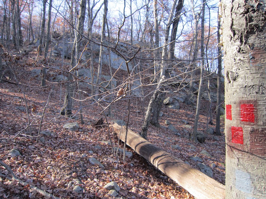 Photo: syvwlch — CC BY 2.0 (via Flickr)
Torne Trail
~3 min drive
0.74-mile point-to-point trail in New Jersey with 93 ft gain
 Photo: syvwlch, CC BY 2.0 (via Flickr)
Red Loop Trail
Next door
A 1.73-mile point-to-point trail in New Jersey with easy access and scenic views.
 Photo: syvwlch, CC BY 2.0 (via Flickr)
Hewitt-Butler Trail
~3 min drive
A brief point-to-point trail through New Jersey's northern highlands.
Photo: syvwlch, CC BY 2.0 (via Flickr)Skyline Preserve Trail
~1 min drive
1.70-mile point-to-point trail in New Jersey with 389 ft elevation gain
Photo: syvwlch, CC BY 2.0 (via Flickr)Wyanokie Circular Loop Trail
~4 min drive
1.88-mile point-to-point trail in New Jersey with 503 ft gain.
 Photo: jimcintosh, CC BY 2.0 (via Flickr)
Unmarked Trail
~3 min drive
1.96-mile out-and-back trail in New Jersey with 396 ft elevation gain
 Photo: syvwlch, CC BY 2.0 (via Flickr)
Blue Loop Trail
~8 min drive
2.16-mile out-and-back trail in New Jersey with 1,169 ft elevation gain
Map and trail data © OpenStreetMap contributors
