Blue Trail
 Photo: Garden State Hiker, CC BY 2.0 (via Flickr)
- 0.3 mi
- one way
- 21 ft
- climb
- 1,054 ft
- high point
- Point to point
- route
- Apr–Oct
- best months
Blue Trail is a short, easy hike in New Jersey, about 0.3 miles long and rising just 21 feet from its low point of 1,022 feet to a high of 1,054 feet. It is a point-to-point route, and the climb is flat, with the steepest stretch at about 0.12 miles in, where the grade reaches 5 percent. The nearest town is Clinton, about 0.6 miles away. Late spring and early fall are the most comfortable times to go. Typical averages from a nearby weather station show May highs around 70°F and September highs around 75°F, with July the warmest month at about 83°F. The trip takes about half an hour. The trail is close to several other outings. Bearfort Waters - Clinton Trail is about 1.1 miles away, Buckabear Pond Trail about 1.3 miles, and Two Brooks about 1.6 miles. Paddlers can reach the Pequannock River, about 3.7 miles off.
Local outfitters
- Pier 13 Hoboken31 mi away
Not on Roamze yet. Their page has how to reach them.
Best time to go · Apr–Oct
Best time to visit Blue Trail
Best months: April–October. Best months have typical highs of 55–85 °F, lows of 30 °F or warmer (32 °F where the station doesn't record snow), at most one snowy day and no more than 12 wet days.
Jan
36° / 19°
11 wet
Feb
39° / 19°
9 wet
Mar
47° / 27°
11 wet
Apr
59° / 38°
11 wet
May
70° / 48°
11 wet
Jun
78° / 57°
11 wet
Jul
83° / 61°
10 wet
Aug
81° / 59°
9 wet
Sep
75° / 52°
8 wet
Oct
63° / 41°
9 wet
Nov
51° / 32°
8 wet
Dec
41° / 25°
10 wet
Typical high / low (°F) and days with rain or snow, 1991–2020. Measured at Charlotteburg Rsvr, NJ, 3.4 mi away at 778 ft. This station doesn't record snowfall. Source: NOAA NCEI U.S. Climate Normals 1991–2020.
Keep exploring — more trails worth the drive
Photo: Garden State Hiker, CC BY 2.0 (via Flickr)Two Brooks
~3 min drive
1.03-mile out-and-back trail in New Jersey with 119 ft elevation gain.
Photo: Garden State Hiker, CC BY 2.0 (via Flickr)Clinton West
~4 min drive
2.69-mile out-and-back trail in New Jersey with 909 ft gain.
 Photo: jimcintosh, CC BY 2.0 (via Flickr)
Unmarked Dirt Trail
~5 min drive
1.06-mile out-and-back trail in New Jersey with 303 ft elevation gain
 Photo: syvwlch — CC BY 2.0 (via Flickr)
White Trail
~8 min drive
0.37-mile point-to-point trail in New Jersey with 66 ft gain.
Photo: jimcintosh, CC BY 2.0 (via Flickr)Unmarked Foot Path
~6 min drive
1.44-mile out-and-back trail in New Jersey with 460 ft elevation gain
 Photo: syvwlch, CC BY 2.0 (via Flickr)
Wyanokie Circular Loop Trail
~9 min drive
1.88-mile point-to-point trail in New Jersey with 503 ft gain.
Photo: jimcintosh, CC BY 2.0 (via Flickr)Unmarked Trail
~6 min drive
1.96-mile out-and-back trail in New Jersey with 396 ft elevation gain
Photo: syvwlch, CC BY 2.0 (via Flickr)Hewitt-Butler Trail
~9 min drive
A brief point-to-point trail through New Jersey's northern highlands.
 Photo: syvwlch, CC BY 2.0 (via Flickr)
Red Loop Trail
~8 min drive
A 1.73-mile point-to-point trail in New Jersey with easy access and scenic views.
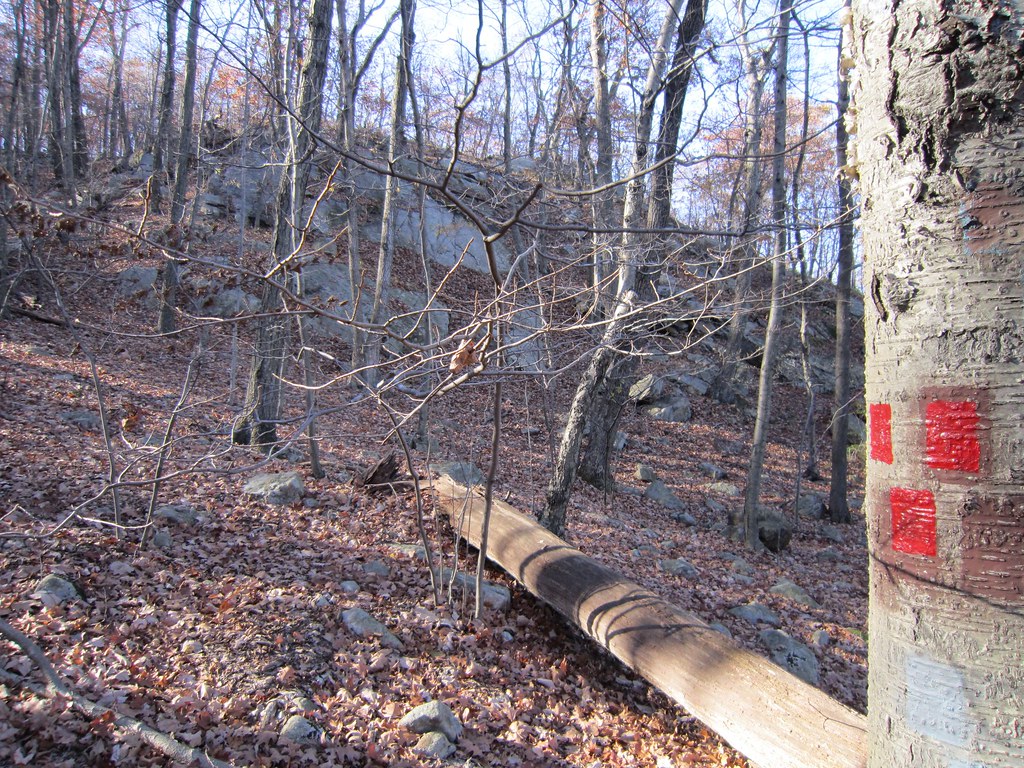 Photo: syvwlch — CC BY 2.0 (via Flickr)
Torne Trail
~9 min drive
0.74-mile point-to-point trail in New Jersey with 93 ft gain

Map and trail data © OpenStreetMap contributors
