Pine Hill
- 1,133 ft
- summit
- 2
- ways up
- Sep
- best months
Pine Hill is a summit in New Hampshire, rising to 1,133 feet about 1.1 miles from the town of Littleton. It sits close to two named trails, the Orange Trail and the Pine Hill Trail, both within a quarter mile, which makes it an easy addition to a walk in the area. Summer is the most comfortable time to visit. Typical averages from a nearby weather station in Bethlehem show July highs around 80°F with lows near 53°F, while winter highs stay in the 20s and 30s. The closest neighbors are the Orange Trail and Pine Hill Trail, both within a short distance. Littleton Boulder, a climbing area, is about 4 miles away, and Gale River Loop campground is roughly 9 miles off.
Conditions and forecast
Daily highs and lows, wind and the chance of precipitation at the summit and route start for the next 7 days, from the Open-Meteo model.
- Summit elevation
- 1,133 ft
Elevation from USGS 3D Elevation Program terrain data (about 10 m resolution).
- Pine Hill TrailEasyabout 172 ft of climbing0.7 mi round trip
- Orange TrailEasyabout 53 ft of climbing0.8 mi round trip
Compare the routes Pine Hill Trail Orange Trail Climbing About 172 ft About 53 ft Round trip 0.7 mi 0.8 mi Difficulty Easy Easy Terrain Hike Hike Map © Mapbox © OpenStreetMap contributors Questions about Pine Hill
How tall is Pine Hill?
1,133 ft (345 m).
How many routes go to the summit of Pine Hill?
2: Pine Hill Trail and Orange Trail.
What is the shortest route up Pine Hill?
Pine Hill Trail, about 0.7 mi round trip.
- Garnet Hill1,934 ft · New Hampshire1 route6.0 mi away
- Bald Mountain2,323 ft · New Hampshire1 route9.6 mi away
- Cole Hill2,617 ft · New Hampshire1 route10 mi away
- Cooley Hill2,458 ft · New Hampshire3 routes11 mi away
- Cannon Mountain4,080 ft · New Hampshire2 routes11 mi away
- The Cannon Balls3,764 ft · New Hampshire1 route12 mi away
- Orange TrailHiking0.1 mi
- Pine Hill TrailHiking0.2 mi
- Littleton BoulderRock climbing3.9 mi
- Gale River LoopCamping9.4 mi
- Johns RiverCanoeing9.7 mi
- Artist's BluffRock climbing10 mi
- Beech Hill Campground and CabinsCamping10 mi
- Ammonoosuc RiverRiver fishing10 mi
Source: Roamze catalog (indexable pages within 10 miles, PostGIS distance)
 Mount LafayetteSummit · ~21 min drivePhoto: User:Paulbalegend, CC BY-SA 3.0 (via Wikimedia Commons)
 South Twin MountainSummit · ~24 min drivePhoto: Tim Sackton, CC BY-SA 2.0 (via Wikimedia Commons)
 Mount HaleSummit · ~24 min drivePhoto: Ken Gallager, CC BY-SA 4.0 (via Wikimedia Commons)
 Owls HeadSummit · ~26 min drivePhoto: Ken Gallager at English Wikipedia, Public domain (via Wikimedia Commons)
 Mount BondSummit · ~28 min drivePhoto: Photo by Ken Gallager, Public domain (via Wikimedia Commons)
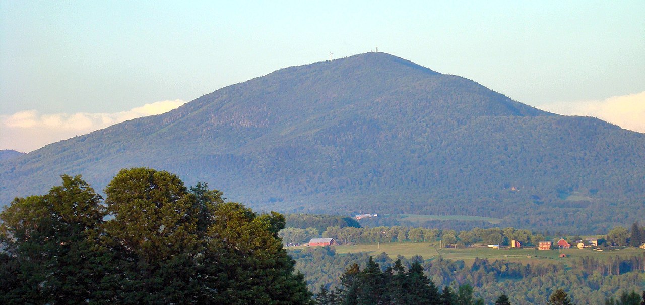 Burke MountainSummit · ~32 min drivePhoto: From the nek, CC BY-SA 3.0 (via Wikimedia Commons)
 Mount WillardSummit · ~33 min drivePhoto: Ken Gallager, CC BY-SA 4.0 (via Wikimedia Commons)
 Mount WilleySummit · ~33 min drivePhoto: wwoods, CC BY-SA 3.0 (via Wikimedia Commons)
 Mount WebsterSummit · ~35 min drivePhoto: Edison490 at English Wikipedia, Public domain (via Wikimedia Commons)
 North Twin MountainSummit · ~22 min drivePhoto: Ken Gallager at English Wikipedia, Public domain (via Wikimedia Commons)
Best time to visit Pine Hill
Best months: September. Best months have typical highs of 55–85 °F, lows of 30 °F or warmer (32 °F where the station doesn't record snow), at most one snowy day and no more than 12 wet days.
Jan
28° / 3°
16 wet
Feb
30° / 4°
12 wet
Mar
40° / 14°
14 wet
Apr
53° / 27°
13 wet
May
67° / 39°
16 wet
Jun
76° / 48°
16 wet
Jul
80° / 53°
15 wet
Aug
79° / 50°
13 wet
Sep
72° / 42°
12 wet
Oct
58° / 32°
14 wet
Nov
45° / 24°
14 wet
Dec
33° / 12°
16 wet
Typical high / low (°F) and days with rain or snow, 1991–2020. Measured at Bethlehem 2, NH, 5.5 mi away at 1,180 ft. This station doesn't record snowfall. Source: NOAA NCEI U.S. Climate Normals 1991–2020.

