Mount Livermore
- 1,509 ft
- summit
- 1
- way up
- Aug–Sep
- best months
Mount Livermore is a summit in New Hampshire, about 5 miles from the town of Ashland. The Prescott Trail passes within about 0.1 mile of it, making that route the natural way to reach the top. The most comfortable hiking season runs from June through September, when typical average highs at a nearby weather station in Plymouth range from about 72°F to 80°F. That station sits roughly 850 feet below the summit, so temperatures up top run cooler. Several other trails start close by: the Cotton Mountain Trail and the Crawford-Ridgepole Trail are each about 0.8 mile away, and the Brooks Fisher Trail is about a mile off. For an overnight base, Campton Campground lies about 8 miles away.
Conditions and forecast
Daily highs and lows, wind and the chance of precipitation at the summit and route start for the next 7 days, from the Open-Meteo model.
- Summit elevation
- 1,509 ft
Elevation from USGS 3D Elevation Program terrain data (about 10 m resolution).
Map © Mapbox © OpenStreetMap contributors Questions about Mount Livermore
How tall is Mount Livermore?
1,509 ft (460 m).
How many routes go to the summit of Mount Livermore?
One: Crawford-Ridgepole Trail.
- Mount Prospect2,063 ft · New Hampshire1 route2.3 mi away
- Mount Webster2,077 ft · New Hampshire1 route2.3 mi away
- Mount Morgan2,211 ft · New Hampshire1 route3.4 mi away
- Mount Percival2,188 ft · New Hampshire2 routes3.9 mi away
- Mount Squam2,219 ft · New Hampshire1 route4.5 mi away
- Doublehead Mountain2,149 ft · New Hampshire3 routes5.1 mi away
 Prescott TrailHikingPhoto: Magicpiano, CC BY-SA 3.0 (via Wikimedia Commons)0.1 mi
 Cotton Mountain TrailHikingPhoto: Magicpiano, CC BY-SA 3.0 (via Wikimedia Commons)0.8 mi
- Crawford-Ridgepole TrailHikingPhoto: Magicpiano, CC BY-SA 3.0 (via Wikimedia Commons)0.8 mi
- Brooks Fisher TrailHikingPhoto: Magicpiano, CC BY-SA 3.0 (via Wikimedia Commons)1 mi
- Roadside BoulderRock climbing6.5 mi
- Roadside AreaRock climbing6.5 mi
- Highlander WallRock climbing6.5 mi
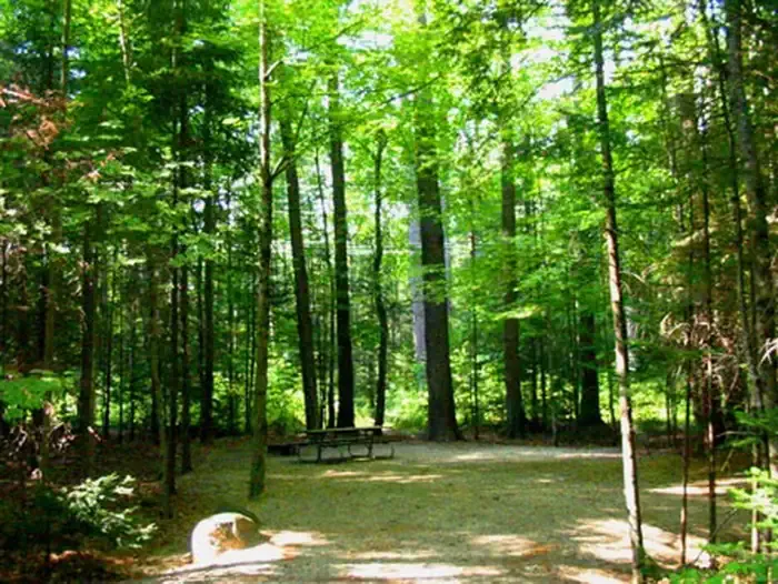 Campton CampgroundCampingPhoto: Recreation.gov (RIDB) / public domain8.4 mi
Source: Roamze catalog (indexable pages within 10 miles, PostGIS distance)
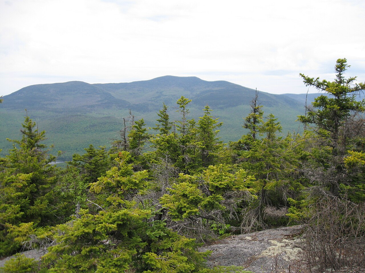 Sandwich MountainSummit · ~19 min drivePhoto: Ken Gallager (talk), CC BY-SA 3.0 (via Wikimedia Commons)
 Mount TripyramidSummit · ~28 min drivePhoto: petersent, Public domain (via Wikimedia Commons)
- Mount ProspectSummit · ~4 min drive
- Mount WebsterSummit · ~4 min drive
- Mount MorganSummit · ~6 min drive
- Mount PercivalSummit · ~7 min drive
- Mount SquamSummit · ~8 min drive
- Doublehead MountainSummit · ~9 min drive
- Pine HillSummit · ~9 min drive
- Fogg HillSummit · ~10 min drive
Best time to visit Mount Livermore
Best months: August–September. Best months have typical highs of 55–85 °F, lows of 30 °F or warmer (32 °F where the station doesn't record snow), at most one snowy day and no more than 12 wet days.
Jan
29° / 7°
12 wet
Feb
33° / 8°
9 wet
Mar
41° / 18°
11 wet
Apr
55° / 29°
10 wet
May
67° / 39°
13 wet
Jun
75° / 49°
13 wet
Jul
80° / 54°
13 wet
Aug
79° / 52°
12 wet
Sep
72° / 45°
11 wet
Oct
58° / 34°
13 wet
Nov
46° / 25°
12 wet
Dec
34° / 15°
12 wet
Typical high / low (°F) and days with rain or snow, 1991–2020. Measured at Plymouth, NH, 3.9 mi away at 660 ft. The station sits about 800 ft lower than this place, so expect it a little cooler here. This station doesn't record snowfall. Source: NOAA NCEI U.S. Climate Normals 1991–2020.
