Rest N' Nest Campground
Campground
Campground · 2.2 mi from the trail
Rocks Trail is a short, out-and-back cross-country ski route in New Hampshire, about 0.7 miles from the town of Lyme. The trail is rated hard, and it covers 1.4 miles with a total elevation gain of 64 feet, from a starting point at about 642 feet to a high of 657 feet. The steepest stretch comes at about half a mile in, with a grade of 9 percent. Winter is the natural season for this trail. Typical averages from a nearby weather station at Union Village Dam, Vermont, show January highs around 29°F and lows near 6°F, while March runs a bit milder, with highs around 41°F. That station sits about 197 feet lower than the trail, so temperatures on the trail run a little cooler. Several other routes start within a tenth of a mile, including the Recordridge Cow Path and Swamp Trail for skiing and the Clyde Grant Trail for hiking. Lyme Hill, a climbing area, is about 1.3 miles away.
Rest N' Nest Campground
Campground
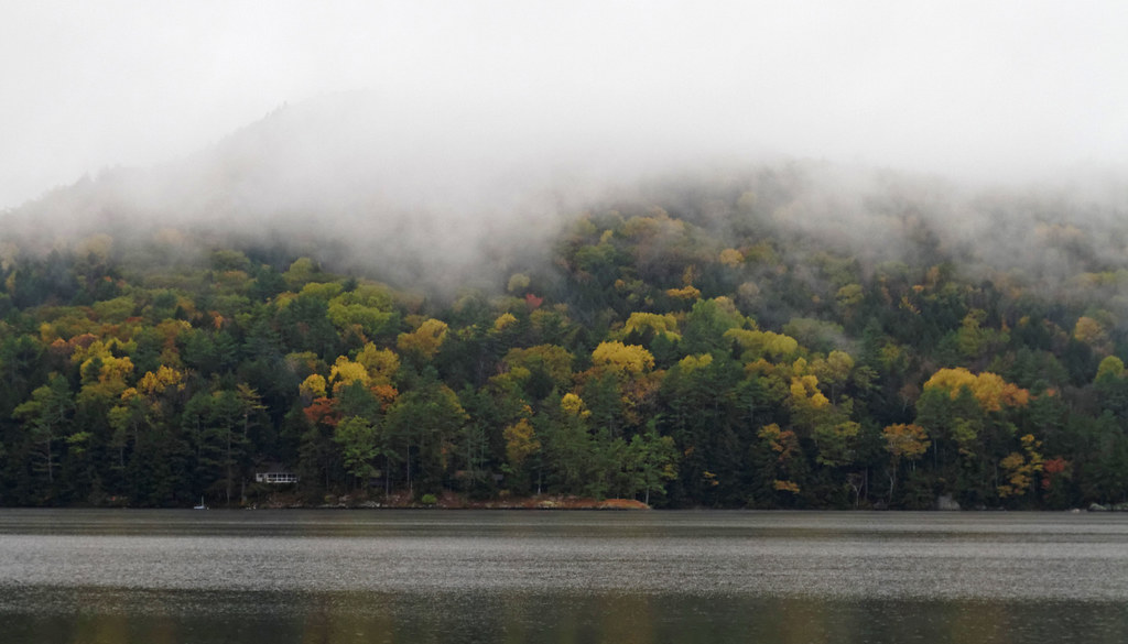
 If it rainsDaderot, CC0 · Wikimedia Commons
Places © OpenStreetMap contributors · Photos: Daderot, CC0 (commons)
More in Bradford Mink BrookCanoeingPhoto: Ken Gallager at en.wikipedia, CC BY-SA 3.0 (via Wikimedia Commons)9 mi
Source: Roamze catalog (indexable pages within 10 miles, PostGIS distance)
Best months: August–October. Best months have typical highs of 55–85 °F, lows of 30 °F or warmer (32 °F where the station doesn't record snow), at most one snowy day and no more than 12 wet days.
Jan
29° / 6°
11 wet
Feb
32° / 8°
10 wet
Mar
41° / 18°
11 wet
Apr
55° / 29°
11 wet
May
68° / 42°
14 wet
Jun
77° / 52°
14 wet
Jul
82° / 57°
14 wet
Aug
81° / 55°
12 wet
Sep
73° / 47°
10 wet
Oct
59° / 36°
12 wet
Nov
46° / 26°
11 wet
Dec
34° / 16°
13 wet
Typical high / low (°F) and days with rain or snow, 1991–2020. Measured at Union Village Dam, VT, 4.8 mi away at 460 ft. This station doesn't record snowfall. Source: NOAA NCEI U.S. Climate Normals 1991–2020.
Map and trail data © OpenStreetMap contributors