Rest N' Nest Campground
Campground
Campground · 2.2 mi from the trail
Recordridge Cow Path is a cross-country ski route in New Hampshire, about 0.7 miles from the town of Lyme. It is a short out-and-back, roughly 1.5 miles long, with a high point of 801 feet and a low of 633 feet. The climb is steep at the start, with a 22% grade at about 0.16 miles, and the total elevation gain is 409 feet for the round trip. Winter is the natural season for this route. Typical averages from a nearby weather station at Union Village Dam, Vermont, show January highs around 29°F and lows near 6°F, while December and February run in the mid-30s. That station sits about 340 feet lower than the path's high point, so temperatures on the trail run cooler. Several other routes start close by. Rocks Trail and Clyde Grant Trail are both about 0.1 mile away, and Swamp Trail, another cross-country ski route, is at a similar distance. Lyme Hill, a climbing area, is about 1.3 miles off.
Rest N' Nest Campground
Campground
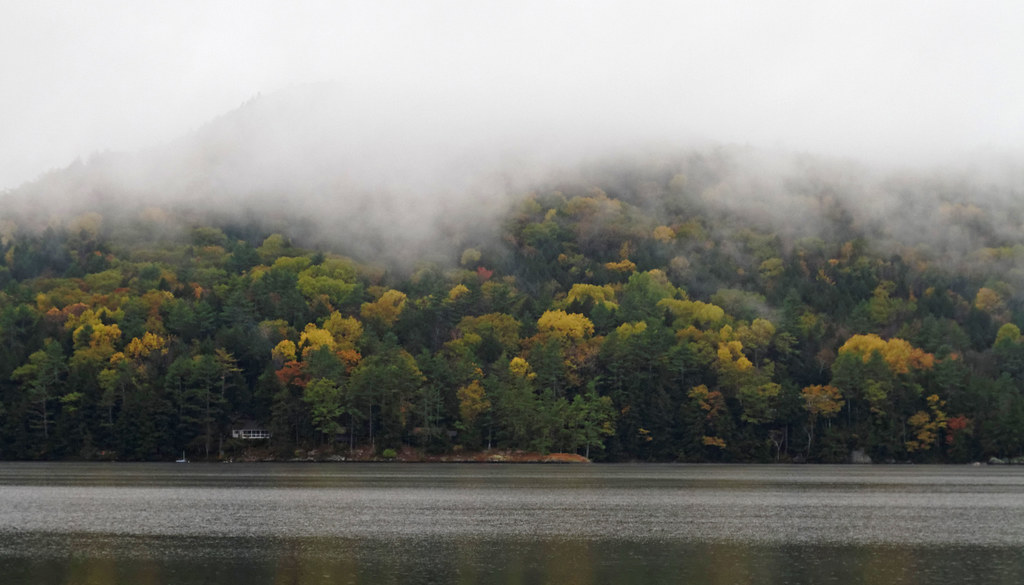
 If it rainsDaderot, CC0 · Wikimedia Commons
Places © OpenStreetMap contributors · Photos: Daderot, CC0 (commons)
More in Bradford Mink BrookCanoeingPhoto: Ken Gallager at en.wikipedia, CC BY-SA 3.0 (via Wikimedia Commons)9 mi
Source: Roamze catalog (indexable pages within 10 miles, PostGIS distance)
Best months: August–October. Best months have typical highs of 55–85 °F, lows of 30 °F or warmer (32 °F where the station doesn't record snow), at most one snowy day and no more than 12 wet days.
Jan
29° / 6°
11 wet
Feb
32° / 8°
10 wet
Mar
41° / 18°
11 wet
Apr
55° / 29°
11 wet
May
68° / 42°
14 wet
Jun
77° / 52°
14 wet
Jul
82° / 57°
14 wet
Aug
81° / 55°
12 wet
Sep
73° / 47°
10 wet
Oct
59° / 36°
12 wet
Nov
46° / 26°
11 wet
Dec
34° / 16°
13 wet
Typical high / low (°F) and days with rain or snow, 1991–2020. Measured at Union Village Dam, VT, 4.8 mi away at 460 ft. This station doesn't record snowfall. Source: NOAA NCEI U.S. Climate Normals 1991–2020.
Map and trail data © OpenStreetMap contributors