Mountain Road
- 1.6 mi
- round trip
- 549 ft
- climb
- 2,430 ft
- high point
- Out and back
- route
Is Mountain Road open right now?
Closure in the area
There's a closure order in White Mountain National Forest. It doesn't name Mountain Road, so check the source for the area it covers (2 listed).
Wild River Fire - Androscoggin Ranger District
Agency closure covering White Mountain National Forest · USFS · White Mountain National Forest
Rattlesnake Fire – Pemigewasset Ranger District
Agency closure covering White Mountain National Forest · USFS · White Mountain National Forest
Town Hall Road Camping and Fire Restrictions
Agency alert covering White Mountain National Forest · USFS · White Mountain National Forest
Lincoln Woods Trail Closure
Agency alert covering White Mountain National Forest · USFS · White Mountain National Forest
Forest Roads Status
Agency alert covering White Mountain National Forest · USFS · White Mountain National Forest
As of · Source: USFS · White Mountain National Forest. Agencies don't list every closure — check before you go.
Mountain Road is a cross-country skiing route in New Hampshire's White Mountain National Forest, within the Pemigewasset Ranger District. It is a moderate, out-and-back trail with a total round-trip gain of 549 feet, and the climb starts steeply, with a 10% grade about 0.15 miles from the start. The route runs 3.2 miles, with a low point of 2,141 feet and a high of 2,430 feet. The Forest Service manages the land. Winter is the season for this trail. Typical averages from the Pinkham Notch weather station, about 9.5 miles away and 405 feet lower, show January highs around 26°F and lows near 6°F, while July highs reach about 75°F. The station sits lower than the trail, so temperatures on the route run cooler. Boulder Spring lies just 0.1 mile away, and Muskeekee Springs is about 0.6 mile off. The Omni Mount Washington Resort, Bretton Woods, offers lake fishing about 1.9 miles away, and Sugarloaf 2 Campground is roughly 3.5 miles out.
- Boulder SpringCross-country skiing0.1 mi
- Muskeekee SpringsCross-country skiing0.6 mi
 Omni Mount Washington Resort, Bretton WoodsLake fishing1.9 mi
- Elephant's HeadRock climbing2.3 mi
- Mount OscarRock climbing2.4 mi
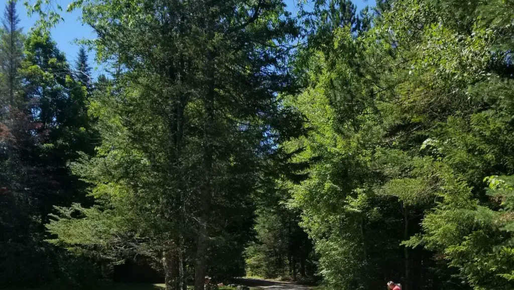 Sugarloaf 2 CampgroundCampingPhoto: Recreation.gov (RIDB) / public domain3.5 mi
- Sugarloaf 1 CampgroundCamping3.6 mi
 Israel RiverCanoeingPhoto: Ken Gallager at en.wikipedia, Public domain (via Wikimedia Commons)9.2 mi
Source: Roamze catalog (indexable pages within 10 miles, PostGIS distance)
Map and trail data © OpenStreetMap contributors
