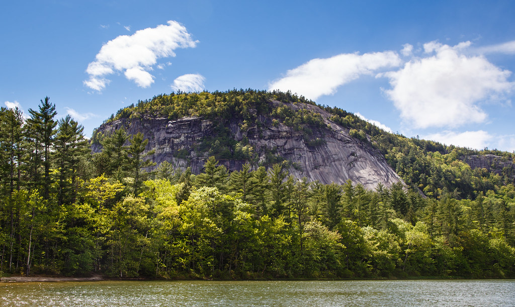
Eastern Slope Camping Area
Campground
Campground · 2.9 mi from the trail
Closure in the area
There's a closure order in White Mountain National Forest. It doesn't name Ultimate SIngle Track, so check the source for the area it covers (2 listed).
Wild River Fire - Androscoggin Ranger District
Agency closure covering White Mountain National Forest · USFS · White Mountain National Forest
Rattlesnake Fire – Pemigewasset Ranger District
Agency closure covering White Mountain National Forest · USFS · White Mountain National Forest
Town Hall Road Camping and Fire Restrictions
Agency alert covering White Mountain National Forest · USFS · White Mountain National Forest
Lincoln Woods Trail Closure
Agency alert covering White Mountain National Forest · USFS · White Mountain National Forest
Forest Roads Status
Agency alert covering White Mountain National Forest · USFS · White Mountain National Forest
As of · Source: USFS · White Mountain National Forest. Agencies don't list every closure — check before you go.
Ultimate Single Track is a short mountain biking route in the Saco Ranger District of White Mountain National Forest in New Hampshire, managed by the Forest Service. The trail is an out-and-back that covers about 2.3 miles, with a low point of 486 feet and a high of 506 feet. The climb is gentle, with a total elevation gain of about 11 feet, and the steepest stretch comes at about 0.7 miles in, with a grade of about 2%. Summer is the most comfortable time to ride. Typical averages from a nearby weather station in Conway show July highs around 81°F and lows near 58°F, while winter brings highs in the 30s and regular snow days from December through February. The Fireline Trail and the Fire Line mountain biking route both lie about 0.3 miles away. Climbers can head to Cathonian Slab, about 1.9 miles off, and anglers will find the Saco River about 3.4 miles away.
Eastern Slope Camping Area
Campground
Sea Dog Brewing Company
Restaurant
Conway Railroad Museum
Museum
Places © OpenStreetMap contributors
More in North ConwaySource: Roamze catalog (indexable pages within 10 miles, PostGIS distance)
Also worth it near here
Best months: August–October. Best months have typical highs of 55–85 °F, lows of 30 °F or warmer (32 °F where the station doesn't record snow), at most one snowy day and no more than 12 wet days.
Jan
30° / 10°
11 wet · 9 snow
Feb
33° / 11°
9 wet · 8 snow
Mar
42° / 20°
11 wet · 7 snow
Apr
55° / 31°
11 wet · 2 snow
May
68° / 43°
13 wet
Jun
76° / 53°
14 wet
Jul
81° / 58°
13 wet
Aug
80° / 56°
12 wet
Sep
72° / 48°
11 wet
Oct
59° / 37°
12 wet
Nov
46° / 27°
12 wet · 3 snow
Dec
36° / 18°
12 wet · 8 snow
Typical high / low (°F) and days with rain or snow, 1991–2020. Measured at N Conway, NH, 2.2 mi away at 522 ft. Source: NOAA NCEI U.S. Climate Normals 1991–2020.
Map and trail data © OpenStreetMap contributors