Ethan Pond Shelter
Campground
Campground · 1.5 mi from the trail
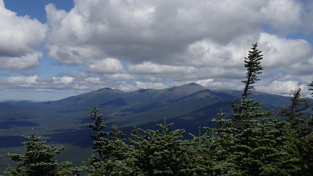 Photo: Northfoot Adventures, CC BY 2.0 (via Flickr)
Caution at last check
Agency alerts are in effect for this area; weather is good · USFS, OpenWeather · checked 23 h ago
Closure in the area
There's a closure order in White Mountain National Forest. It doesn't name Willey Range Trail, so check the source for the area it covers (2 listed).
Wild River Fire - Androscoggin Ranger District
Agency closure covering White Mountain National Forest · USFS · White Mountain National Forest
Rattlesnake Fire – Pemigewasset Ranger District
Agency closure covering White Mountain National Forest · USFS · White Mountain National Forest
Town Hall Road Camping and Fire Restrictions
Agency alert covering White Mountain National Forest · USFS · White Mountain National Forest
Lincoln Woods Trail Closure
Agency alert covering White Mountain National Forest · USFS · White Mountain National Forest
Forest Roads Status
Agency alert covering White Mountain National Forest · USFS · White Mountain National Forest
As of · Source: USFS · White Mountain National Forest. Agencies don't list every closure — check before you go.
Willey Range Trail is a moderate out-and-back hike in the Pemigewasset Ranger District of New Hampshire's White Mountain National Forest, about 1.2 miles long and with a total elevation gain of 1,094 feet. The route starts at a low point of about 3,674 feet and climbs to a high point of about 4,231 feet, with the steepest stretch at about 0.1 mile in from the trailhead, where the grade reaches 20%. The trail is open year-round and takes about an hour to complete. It is a natural-surface trail, and bikes are allowed. It is not an accessible trail. Nearby, Mount Tom and the A-Z route are both within a mile, and Ethan Pond Shelter offers camping about 1.5 miles away. Climbers can find Mt. Willard about 1.6 miles off.
Ethan Pond Shelter
Campground
 If it rainsKen Gallager, CC BY-SA 4.0 · Wikimedia Commons
Places © OpenStreetMap contributors, Places © Overture Maps Foundation · Photos: Ken Gallager, CC BY-SA 4.0 (commons)
More in North ConwayMount TomHikingPhoto: Northfoot Adventures, CC BY 2.0 (via Flickr)0.6 mi A-ZHikingPhoto: Cliff from Arlington, Virginia, USA, CC BY 2.0 (via Wikimedia Commons)0.9 mi
 Omni Mount Washington Resort, Bretton WoodsLake fishing4.4 mi
Source: Roamze catalog (indexable pages within 10 miles, PostGIS distance)
Mount TomHiking · Next doorPhoto: Northfoot Adventures, CC BY 2.0 (via Flickr)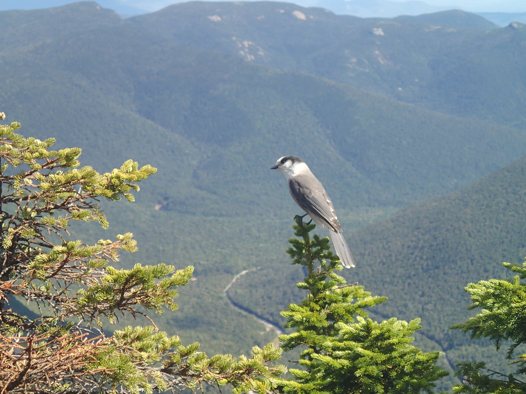 ETHAN POND TRAILHiking · ~3 min drivePhoto: Northfoot Adventures, CC BY 2.0 (via Flickr)
 Crawford ConnectorHiking · ~4 min drivePhoto: Ktr101, CC BY-SA 2.0 (via Flickr)
 Webster-Jackson TrailHiking · ~4 min drivePhoto: Ktr101, CC BY-SA 2.0 (via Flickr)AvalonHiking · ~3 min drivePhoto: Ktr101, CC BY-SA 2.0 (via Flickr)
 CRAWFORD PATHHiking · ~7 min drivePhoto: Ktr101, CC BY-SA 2.0 (via Flickr)
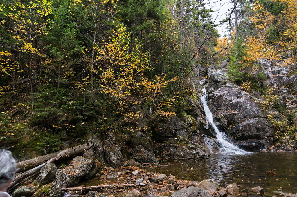 Crawford CliffHiking · ~4 min drivePhoto: alans1948, CC BY 2.0 (via Flickr)
 Zeacliff TrailHiking · ~6 min drivePhoto: matt.a, CC BY 3.0 (via Wikimedia Commons)
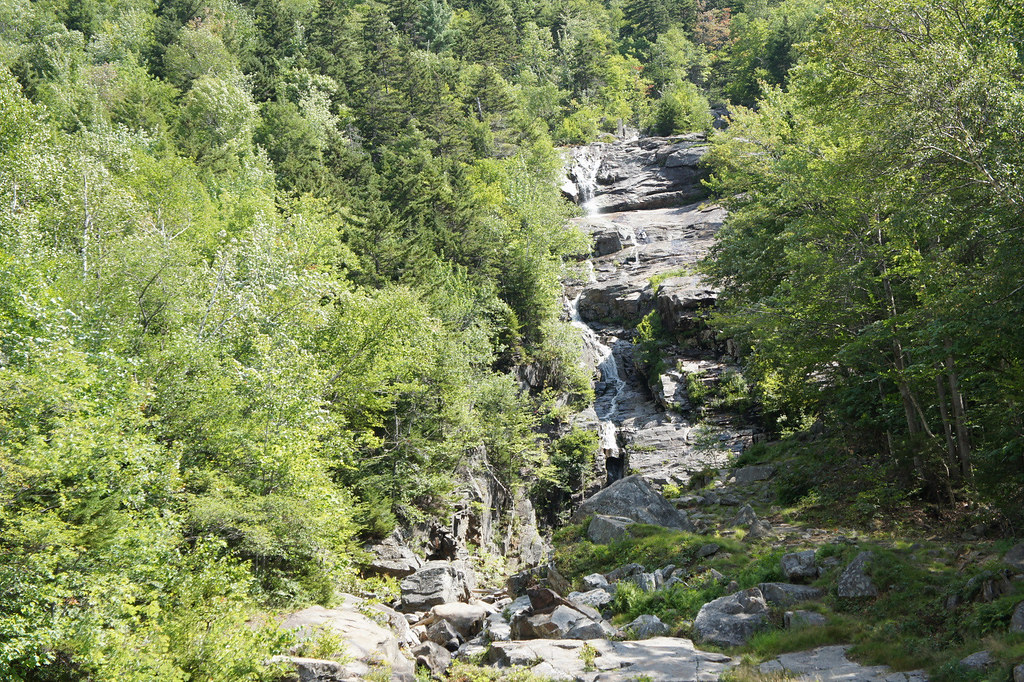 Willey Range TrailHiking · ~4 min drivePhoto: JimboRocks, CC BY-SA 2.0 (via Flickr)
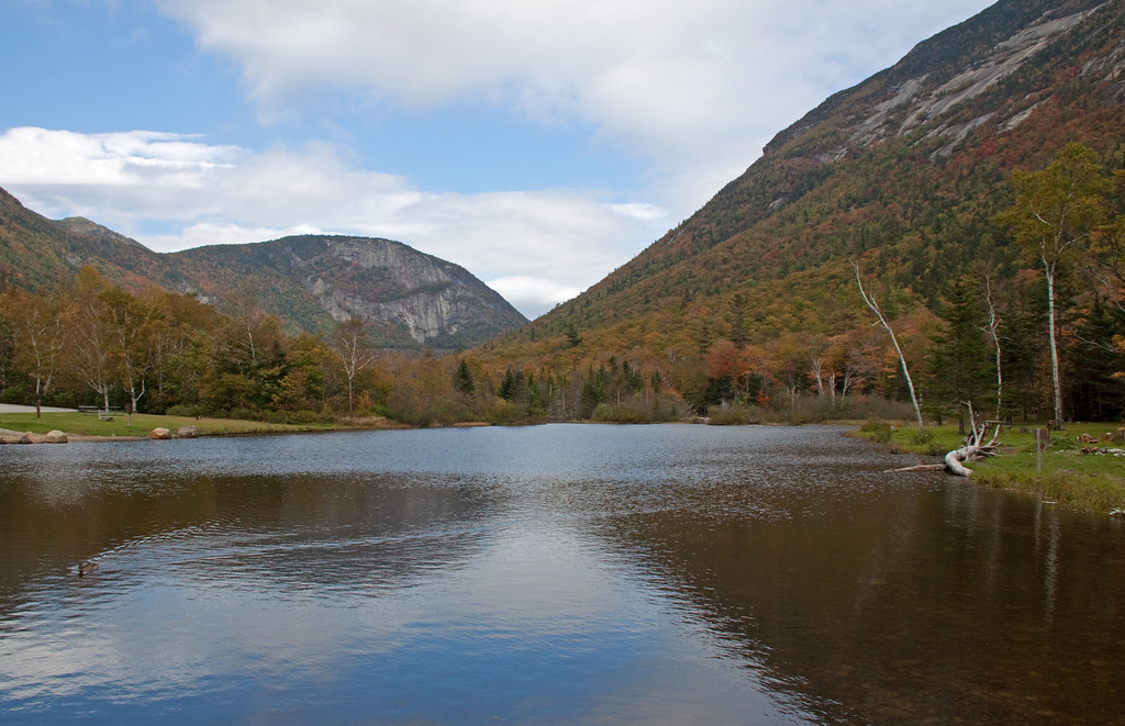 Kedron Flume TrailHiking · ~4 min drivePhoto: ahisgett, CC BY 2.0 (via Flickr)

