White Dot Trail
 Photo: randomduck, CC BY-SA 2.0 (via Flickr)
- 1.7 mi
- one way
- 1,633 ft
- climb
- 3,165 ft
- high point
- Point to point
- route
White Dot Trail is a 1.7-mile hike in Monadnock State Park in New Hampshire, managed by the State Department of Natural Resources. It is a point-to-point route with a one-way elevation gain of 1,633 feet, rising from about 1,427 feet to a high of 3,165 feet. The trail is rated easy, and the climb is the main challenge. The trail is not open to bikes or horses. The route is short, so it works well as a single outing rather than a longer day of backtracking. Several other trails start close by. Parker Trail and Lost Farm Trail are each about 0.4 miles away, and White Cross Trail is about 0.5 miles away. For time on the water, the Contoocook River is about 5.6 miles off.
Conditions and forecast on Monadnock Mountain
Daily highs and lows, wind and the chance of precipitation at the summit and route start for the next 7 days, from the Open-Meteo model.
 Parker TrailHikingPhoto: Under the same moon..., CC BY 2.0 (via Flickr)0.4 mi
- Lost Farm TrailHikingPhoto: Under the same moon..., CC BY 2.0 (via Flickr)0.4 mi
- White Cross TrailHikingPhoto: Under the same moon..., CC BY 2.0 (via Flickr)0.5 mi
- Contoocook RiverCanoeing5.6 mi
- Nubanusit BrookCanoeing6.2 mi
- Edward MacDowell Lake Day Use FacilitiesCamping6.3 mi
- Monadnock RegionRock climbing7.2 mi
- Stone Arch BridgeRock climbing9.6 mi
Source: Roamze catalog (indexable pages within 10 miles, PostGIS distance)
- Lost Farm TrailHiking · Next doorPhoto: Under the same moon..., CC BY 2.0 (via Flickr)
- Parker TrailHiking · Next doorPhoto: Under the same moon..., CC BY 2.0 (via Flickr)
 Metacomet - Monadnock TrailHiking · ~3 min drivePhoto: Karlunun, CC BY-SA 4.0 (via Wikimedia Commons)
- White Cross TrailHiking · Next doorPhoto: Under the same moon..., CC BY 2.0 (via Flickr)
- Harling TrailHiking · ~1 min drivePhoto: randomduck, CC BY-SA 2.0 (via Flickr)
- Monadnock Recreational Rail TrailHiking · ~10 min drive
 Amphitheatre TrailHiking · ~2 min drivePhoto: ihamr, CC BY 2.0 (via Flickr)
 Birchtoft TrailHiking · ~2 min drivePhoto: randomduck — CC BY-SA 2.0 (via Flickr)
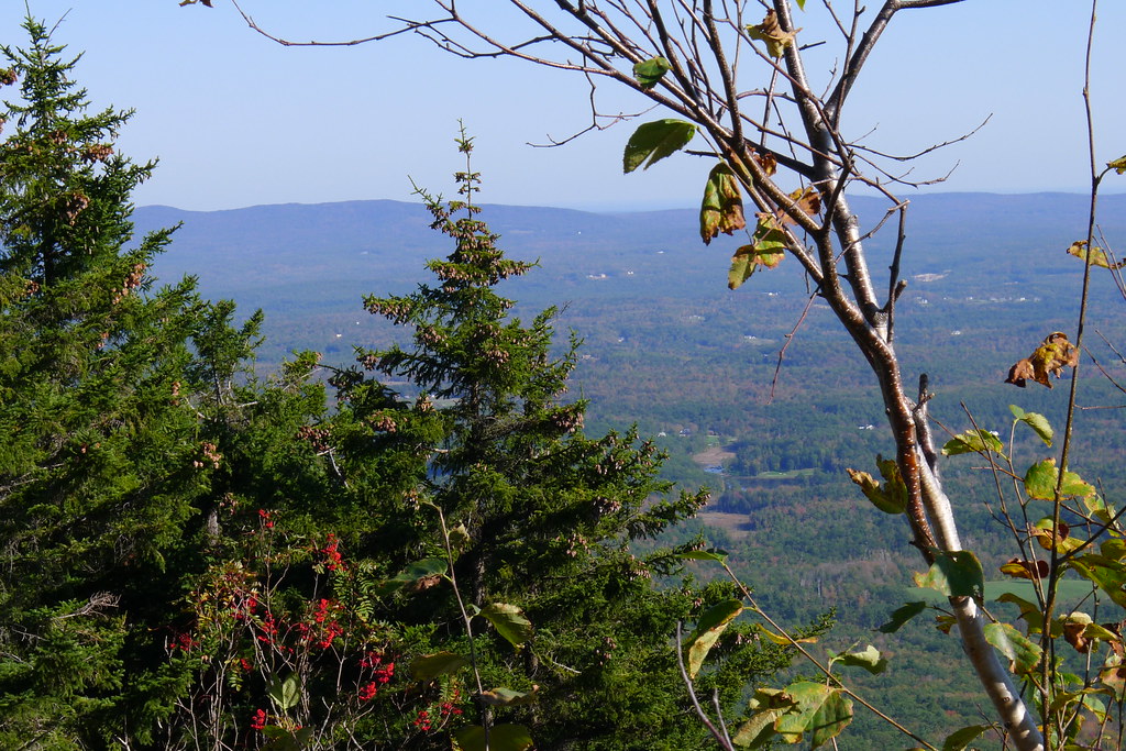 Old Halfway House TrailHiking · ~2 min drivePhoto: chipmunk_1, CC BY-SA 2.0 (via Flickr)
 Hinkley TrailHiking · ~2 min drivePhoto: randomduck, CC BY-SA 2.0 (via Flickr)

Route details
- Distance
- 1.7 mi
- Climbing
- About 1,633 ft
- Summit
- 3,165 ft
- Difficulty
- Easy
- Time
- About 1.5 hours
Other routes up Monadnock Mountain
Questions about this route
How long is the White Dot Trail on Monadnock Mountain?
About 1.7 mi.
How much elevation gain is on the White Dot Trail?
About 1,633 ft of climbing round trip.
How hard is the White Dot Trail?
It is rated easy.
How long does the White Dot Trail take?
About 1.5 hours round trip.
How many routes go up Monadnock Mountain?
4: Pumpelly Trail, Metacomet - Monadnock Trail, Smith Summit Trail and White Dot Trail.
Map and trail data © OpenStreetMap contributors
