Wantastiquet-Monadnock Trail
- 45.0 mi
- one way
- 3,650 ft
- climb
- 1,387 ft
- high point
- Point to point
- route
- Apr, Jun–Oct
- best months
The Wantastiquet-Monadnock Trail is a 45-mile point-to-point hike in New Hampshire, rising from about 480 feet to a high point of 1,387 feet with a total elevation gain of 3,650 feet. The trail starts within half a mile of Harper Acres, making it an easy to reach route for anyone already in the area. The climb is a moderate one, and the trail is not open to bikes or horses. The trip is estimated to take about 17 hours, so plan on a full day or more. Summer is the most comfortable time to go. Typical averages from a nearby weather station in Keene show July highs around 82°F with lows near 56°F, while winter brings highs in the 30s and regular snow days from December through February. Several other outings sit close by. The Red Heart Trail and the Horatio Colony Preserve Red Diamond Trail are each about 1.7 miles away, and the Stone Arch Bridge climbing area is about 2.5 miles off. Otter Brook Lake Recreation Area, about 4.3 miles away, offers camping.
- Red Heart TrailHiking1.7 mi
- Horatio Colony Preserve Red Diamond TrailHiking1.7 mi
- Stone Arch BridgeRock climbing2.5 mi
- The BranchCanoeing3.2 mi
- Otter Brook Lake Recreation AreaCamping4.3 mi
- Surry Mountain Lake CampgroundCamping5 mi
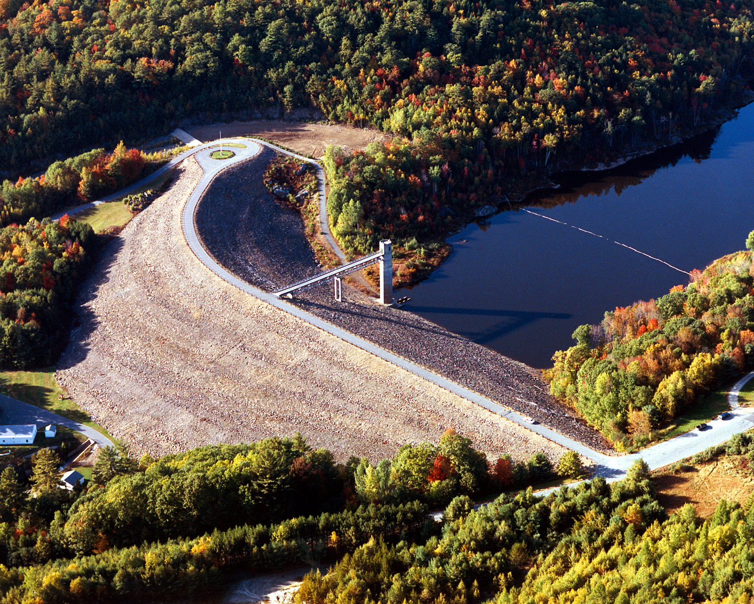 Otter BrookCanoeingPhoto: U.S. Army Corps of Engineers, photographer not specified or unknown, Public domain (via Wikimedia Commons)5.9 mi
- Revolutionary War BoulderRock climbing9.3 mi
Source: Roamze catalog (indexable pages within 10 miles, PostGIS distance)
 Cheshire Recreational Rail TrailHiking · ~3 min drivePhoto: Mark Bonica, CC BY 2.0 (via Flickr)
 Elijah's Epic Summit Trail (yellow)Hiking · ~7 min drivePhoto: Dougtone, CC BY-SA 2.0 (via Flickr)
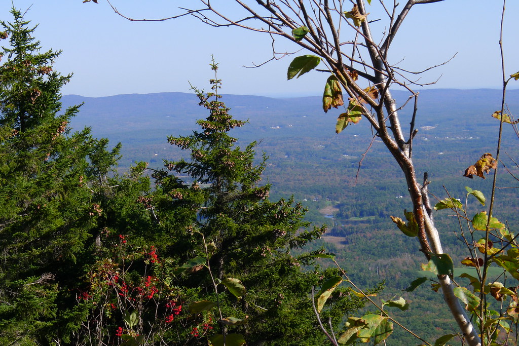 Marian TrailHiking · ~18 min drivePhoto: chipmunk_1, CC BY-SA 2.0 (via Flickr)
- Tower Trail (red)Hiking · ~7 min drivePhoto: Dougtone, CC BY-SA 2.0 (via Flickr)
 Smith Summit TrailHiking · ~18 min drivePhoto: Karlunun, CC BY-SA 4.0 (via Wikimedia Commons)
 Beal's Knob TrailHiking · ~12 min drivePhoto: hannahlegacy, Public Domain Dedication (CC0) (via Flickr)
- Horatio Colony Preserve Red Diamond TrailHiking · ~3 min drive
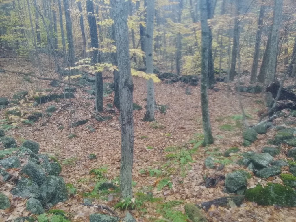 Fullam Pond TrailHiking · ~14 min drivePhoto: hannahlegacy, Public Domain Dedication (CC0) (via Flickr)
- Gorge TrailHiking · ~14 min drive
 Hubbard Hill TrailHiking · ~16 min drivePhoto: hannahlegacy, Public Domain Dedication (CC0) (via Flickr)
Best time to visit Wantastiquet-Monadnock Trail
Best months: April and June–October. Best months have typical highs of 55–85 °F, lows of 30 °F or warmer (32 °F where the station doesn't record snow), at most one snowy day and no more than 12 wet days.
Jan
30° / 10°
11 wet · 7 snow
Feb
34° / 11°
10 wet · 6 snow
Mar
43° / 20°
11 wet · 5 snow
Apr
57° / 30°
11 wet · 1 snow
May
69° / 41°
13 wet
Jun
77° / 51°
12 wet
Jul
82° / 56°
12 wet
Aug
81° / 54°
10 wet
Sep
73° / 47°
10 wet
Oct
60° / 36°
11 wet
Nov
47° / 27°
11 wet · 2 snow
Dec
36° / 18°
12 wet · 6 snow
Typical high / low (°F) and days with rain or snow, 1991–2020. Measured at Keene, NH, 1.5 mi away at 511 ft. The station sits about 900 ft lower than this place, so expect it a little cooler here. Source: NOAA NCEI U.S. Climate Normals 1991–2020.
Map and trail data © OpenStreetMap contributors
