Stegosaurus
- 2.0 mi
- round trip
- 1,088 ft
- climb
- 1,627 ft
- high point
- Out and back
- route
- May–Oct
- best months
Caution today
Agency alerts are in effect for this area; weather is good · USFS, OpenWeather · checked just now
Is Stegosaurus open right now?
Closure in the area
There's a closure order in White Mountain National Forest. It doesn't name Stegosaurus, so check the source for the area it covers (2 listed).
Wild River Fire - Androscoggin Ranger District
Agency closure covering White Mountain National Forest · USFS · White Mountain National Forest
Rattlesnake Fire – Pemigewasset Ranger District
Agency closure covering White Mountain National Forest · USFS · White Mountain National Forest
Town Hall Road Camping and Fire Restrictions
Agency alert covering White Mountain National Forest · USFS · White Mountain National Forest
Lincoln Woods Trail Closure
Agency alert covering White Mountain National Forest · USFS · White Mountain National Forest
Forest Roads Status
Agency alert covering White Mountain National Forest · USFS · White Mountain National Forest
As of · Source: USFS · White Mountain National Forest. Agencies don't list every closure — check before you go.
Stegosaurus is a moderate out-and-back hike in the Pemigewasset Ranger District of White Mountain National Forest in New Hampshire, managed by the Forest Service. The trail is about 2 miles long, with a total elevation gain of 1,088 feet, and it starts at roughly 1,523 feet, rising to a high point of 1,627 feet. The steepest stretch comes at about half a mile in, where the grade reaches 29 percent. The route is natural-surfaced and allows bikes, and it is not an accessible trail. It is open year-round, and the trip is estimated to take about an hour. Summer is the most comfortable time to go. Typical averages from a nearby weather station at Waterville Valley run to highs around 77°F in July and 76°F in August, with lows in the mid-50s. That station sits a few hundred feet lower than the trail's high point, so temperatures on the summit run a little cooler. Several other hikes start close by, including Pressure Drop, about 0.1 mile away, and Chickenboro and Rib Tickler, each about 0.4 mile off. Campton Campground, about 2.2 miles away, offers a place to stay.
 Pressure DropHikingPhoto: rickpilot_2000, CC BY 2.0 (via Flickr)0.1 mi
- ChickenboroHiking0.4 mi
- Rib TicklerHiking0.4 mi
- After Work BouldersRock climbing1.4 mi
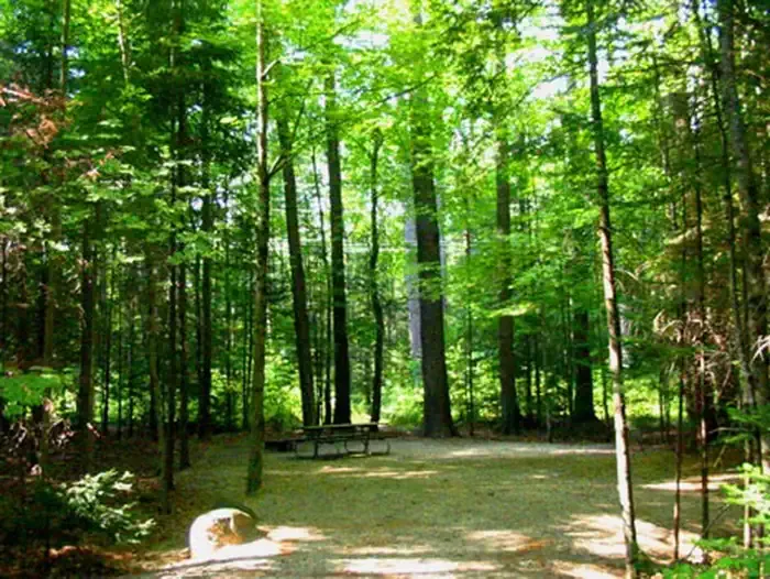 Campton CampgroundCampingPhoto: Recreation.gov (RIDB) / public domain2.2 mi
- The First BouldersRock climbing2.3 mi
- Yellowjacket BoulderRock climbing2.3 mi
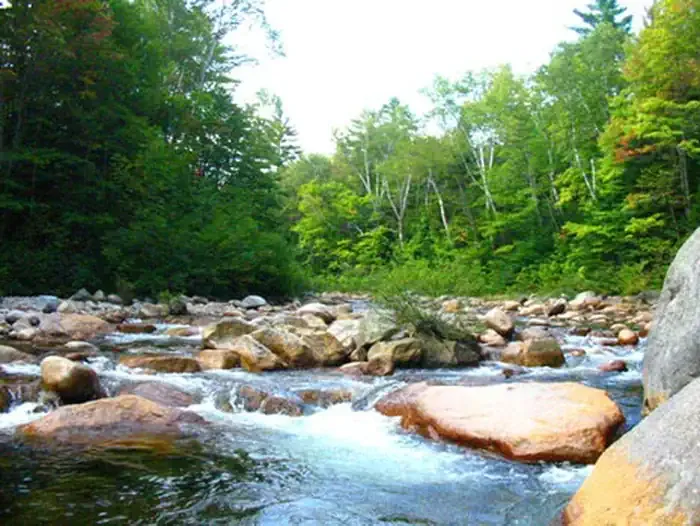 Waterville CampgroundCampingPhoto: Recreation.gov (RIDB) / public domain6 mi
Source: Roamze catalog (indexable pages within 10 miles, PostGIS distance)
- Pressure DropHiking · Next doorPhoto: rickpilot_2000, CC BY 2.0 (via Flickr)
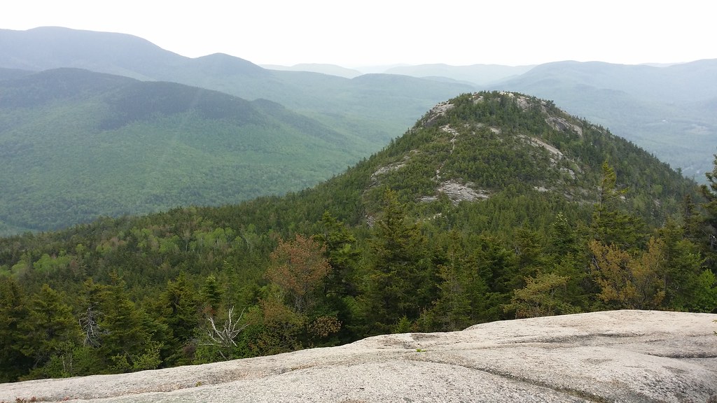 Welch-DickeyHiking · ~4 min drivePhoto: Doug Orleans, CC BY-SA 2.0 (via Flickr)
- Algonquin TrailHiking · ~4 min drive
- Bear HunterHiking · Next doorPhoto: rickpilot_2000, CC BY 2.0 (via Flickr)
- Rib TicklerHiking · Next door
- BeanHiking · ~1 min drivePhoto: rickpilot_2000, CC BY 2.0 (via Flickr)
- Path of EnlightenmentHiking · Next door
 Instant ClassicHiking · ~2 min drivePhoto: Bob Linsdell, CC BY 2.0 (via Flickr)
- Smarts BrookHiking · ~5 min drive
 Village Loop TrailHiking · ~2 min drivePhoto: usfs_Eastern_Region, Public Domain Mark (via Flickr)
Best time to visit Stegosaurus
Best months: May–October. Best months have typical highs of 55–85 °F, lows of 30 °F or warmer (32 °F where the station doesn't record snow), at most one snowy day and no more than 12 wet days.
Jan
28° / 6°
Feb
30° / 6°
Mar
38° / 15°
Apr
50° / 28°
May
63° / 40°
Jun
72° / 49°
Jul
77° / 54°
Aug
76° / 52°
Sep
69° / 45°
Oct
56° / 34°
Nov
43° / 25°
Dec
33° / 14°
Typical high / low (°F) and days with rain or snow, 1991–2020. Measured at Waterville Valley Nepp, NH, 6.1 mi away at 1,429 ft. This station doesn't record snowfall. Source: NOAA NCEI U.S. Climate Normals 1991–2020.
