Calef Lake Camping Area
Campground
Campground · 2.5 mi from the trail
South Hayfield Loop is a short loop in southern New Hampshire, about 1.6 miles from Auburn. It is an easy hike of roughly a third of a mile, with a total elevation gain of 70 feet. The loop starts and ends at nearly the same level, 285 feet, and the highest point on the route is 319 feet. The route is a loop, so it is an out-and-back for anyone who wants to stretch the legs. The climb is gentle, with the steepest stretch coming early, about 0.1 mile in, on a grade of about 4 percent. The low point and the high point are close together, which makes the walk feel more like a stroll around a small area than a climb. Summer is the most comfortable time to go. Typical averages from the nearby Massabesic Lake weather station show July highs around 81°F and lows near 61°F. The station sits about 66 feet lower than the loop, so temperatures on the trail run slightly cooler. North Hayfield Loop lies just 0.2 miles away, and Currier Point Trail is about 1.1 miles off. Climbers can find Massabesic Lake / Lake Ledges about 1.4 miles away, and the Long Trail is about 2.6 miles from the loop.
Calef Lake Camping Area
Campground
Auburn House of Pizza
Restaurant
 If it rainsStruthious Bandersnatch, CC BY-SA 3.0 · Wikimedia Commons
Places © OpenStreetMap contributors · Photos: Struthious Bandersnatch, CC BY-SA 3.0 (commons)
More in Derry Currier Point TrailHikingPhoto: ihamr, CC BY 2.0 (via Flickr)1.1 mi
 Long TrailHikingPhoto: ihamr, CC BY 2.0 (via Flickr)2.6 mi
Source: Roamze catalog (indexable pages within 10 miles, PostGIS distance)
Currier Point TrailHiking · ~2 min drivePhoto: ihamr, CC BY 2.0 (via Flickr)Long TrailHiking · ~4 min drivePhoto: ihamr, CC BY 2.0 (via Flickr) Rhododendron LoopHiking · ~13 min drivePhoto: ihamr, CC BY 2.0 (via Flickr)Accessible TrailHiking · ~13 min drivePhoto: ihamr, CC BY 2.0 (via Flickr)Woodland LoopHiking · ~13 min drivePhoto: ihamr, CC BY 2.0 (via Flickr)
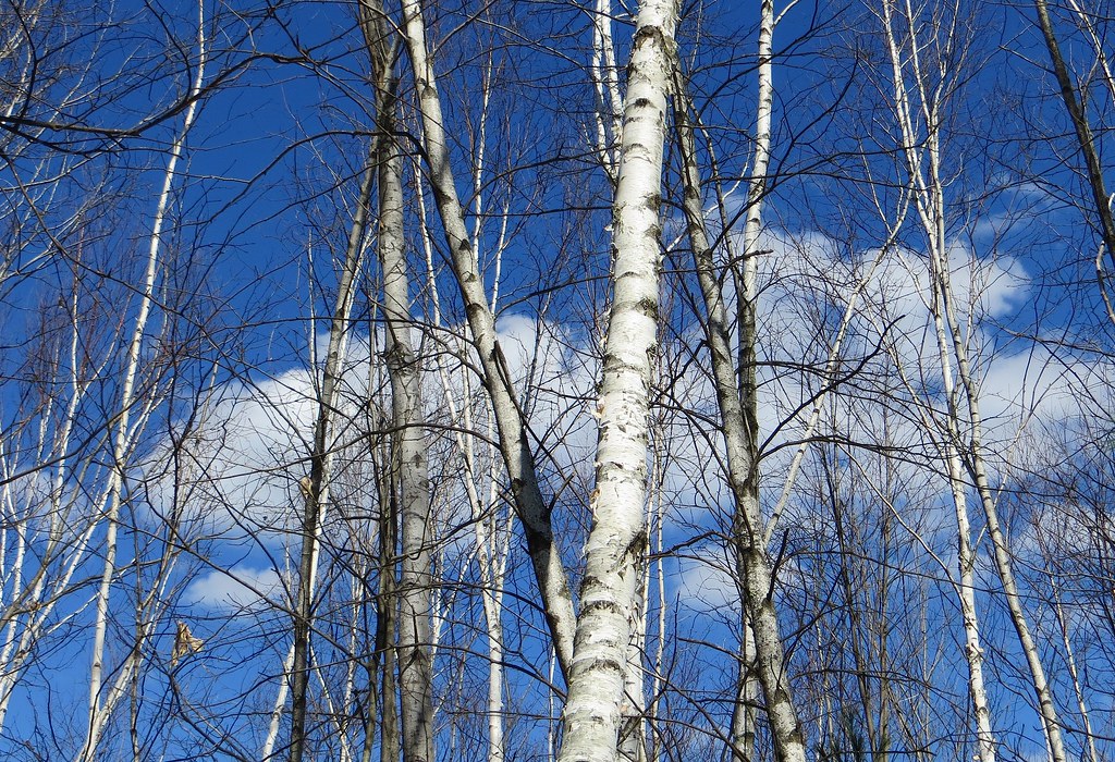 Landing TrailHiking · ~14 min drivePhoto: Under the same moon..., CC BY 2.0 (via Flickr)
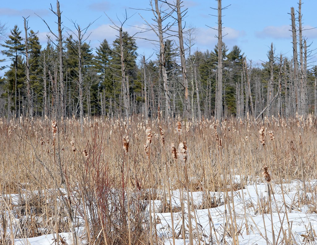 Blue TrailHiking · ~14 min drivePhoto: Under the same moon..., CC BY 2.0 (via Flickr)Overlook TrailHiking · ~14 min drivePhoto: Under the same moon..., CC BY 2.0 (via Flickr)Betty Mack TrailHiking · ~14 min drivePhoto: Under the same moon..., CC BY 2.0 (via Flickr)
Best months: April–October. Best months have typical highs of 55–85 °F, lows of 30 °F or warmer (32 °F where the station doesn't record snow), at most one snowy day and no more than 12 wet days.
Jan
32° / 13°
9 wet
Feb
35° / 15°
7 wet
Mar
43° / 24°
8 wet
Apr
56° / 35°
10 wet
May
67° / 46°
11 wet
Jun
76° / 56°
10 wet
Jul
81° / 61°
10 wet
Aug
80° / 59°
9 wet
Sep
73° / 52°
9 wet
Oct
60° / 40°
10 wet
Nov
48° / 30°
9 wet
Dec
38° / 21°
9 wet
Typical high / low (°F) and days with rain or snow, 1991–2020. Measured at Massabesic Lake, NH, 1.5 mi away at 253 ft. This station doesn't record snowfall. Source: NOAA NCEI U.S. Climate Normals 1991–2020.
Map and trail data © OpenStreetMap contributors
