Sentier De L'estrie Zone Glen
- 2.7 mi
- one way
- 987 ft
- climb
- Point to point
- route
- Moderate
- difficulty
- May–Sep
- best months
Sentier De L'estrie Zone Glen is a moderate hike in northern New Hampshire, about 11 miles from North Troy, Vermont, the nearest town. The route is a point-to-point trail of roughly 2.7 miles, with a total elevation gain of 987 feet from a starting point around 817 feet to a high point of 1,515 feet. The steepest stretch comes at about 0.78 miles in, where the grade reaches 24 percent. Summer is the most comfortable time to go. Typical averages from the Jay Peak weather station in Vermont, about 16 miles away, show July highs near 74°F with lows around 56°F, while winter highs stay in the 20s. The trip takes about 1.5 hours. Bikes are not allowed on this route. The Sentier De L'estrie, Zone Glen, Accès and Sentier Du Mont Glen (Se) both start about a mile away, and the Sentier De L'estrie, Mont Singer and Sentier Des Sommets (Nord) are each about 3 miles off.
- Sentier De L'estrie, Zone Glen, AccèsHiking1.1 mi
- Sentier Du Mont Glen (SeHiking1.1 mi
- Sentier De L'estrie, Mont SingerHiking3.1 mi
- Sentier Des Sommets (Nord)Hiking3.1 mi
- Sentier Des Sommets (Sud)Hiking4.1 mi
- Sentier Des RuisseauxHiking5 mi
- Sentier De L'estrie, Zone BoltonHiking5.3 mi
- Sentier De L'estrie, Zone éChoHiking5.4 mi
Source: Roamze catalog (indexable pages within 10 miles, PostGIS distance)
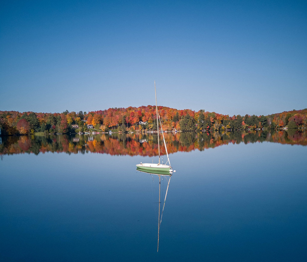 Sentier De L'estrie, Zone OrfordHiking · ~20 min drivePhoto: MCdeMtl, CC BY-SA 2.0 (via Flickr)
 Le CampagnolHiking · ~22 min drivePhoto: Mario Hains, CC BY-SA 3.0 (via Wikimedia Commons)
 Long TrailHiking · ~30 min drivePhoto: From the nek, CC BY-SA 3.0 (via Wikimedia Commons)
- Tricoté SerréHiking · ~16 min drive
- Sentier De L'estrie, Zone Glen, AccèsHiking · ~2 min drive
 Larry's LoopHiking · ~29 min drivePhoto: Roman Eugeniusz, CC BY-SA 3.0 (via Wikimedia Commons)
- Aweille en BasHiking · ~16 min drive
- Sentier Du Mont Glen (SeHiking · ~2 min drive
- Ridgehill ConnectorHiking · ~30 min drivePhoto: Roman Eugeniusz, CC BY-SA 3.0 (via Wikimedia Commons)
- Sentier du LynxHiking · ~27 min drive
Also worth it near here
- Camping rustique WestfieldCamping · ~1 min drive
 Mont GlenSummit · ~5 min drivePhoto: Richard Coté, CC BY-SA 4.0 (via Wikimedia Commons)
 Chutes de BoltonWaterfall · ~6 min drivePhoto: Cantons-de-l'Est, CC BY-SA 4.0 (via Wikimedia Commons)
- Lac CliffLake fishing · ~9 min drive
- La ConnectionCross-country skiing · ~17 min drive
Best time to visit Sentier De L'estrie Zone Glen
Best months: May–September. Best months have typical highs of 55–85 °F, lows of 30 °F or warmer (32 °F where the station doesn't record snow), at most one snowy day and no more than 12 wet days.
Jan
24° / 4°
Feb
25° / 6°
Mar
34° / 15°
Apr
46° / 28°
May
61° / 41°
Jun
70° / 51°
Jul
74° / 56°
Aug
72° / 54°
Sep
66° / 46°
Oct
52° / 35°
Nov
39° / 24°
Dec
29° / 13°
Typical high / low (°F) and days with rain or snow, 1991–2020. Measured at Jay Peak, VT, 16.1 mi away at 1,840 ft. This station doesn't record snowfall. Source: NOAA NCEI U.S. Climate Normals 1991–2020.
Map and trail data © OpenStreetMap contributors
