Mont Glen
 Photo: Richard Coté, CC BY-SA 4.0 (via Wikimedia Commons)
- 2,129 ft
- summit
- May–Sep
- best months
Mont Glen is a mountain in Quebec, Canada, with its summit at about 2,130 ft (649 m) above sea level. Mapped trails that come within about half a mile of the top include Sentier du mont Glen (SE. The nearest town is Bolton-Est, about 2.5 miles west of the summit. Peaks within about 3 miles include Mont Glen - Sommet Sud, Mont Gauvin and Mont Foster. Chutes de Bolton is within about 3 miles. For camping, Camping rustique ~ Mont Foster and Camping rustique Westfield are within about 6 miles. It is part of the Sutton Mountains. Administratively, it is in Estrie. These details come from Wikidata. The location and elevation come from OpenStreetMap and the Copernicus 90 m elevation model. Check local access rules and conditions before you go.
Conditions and forecast
Daily highs and lows, wind and the chance of precipitation at the summit for the next 7 days, from the Open-Meteo model.
- Summit elevation
- 2,129 ft
We don't know of a mapped trail or route to the summit of Mont Glen. Plan the approach with local maps, a guidebook or a local guide, and check conditions before you go.
Questions about Mont Glen
How tall is Mont Glen?
2,129 ft (649 m).
Is there a trail to the top of Mont Glen?
We don't know of a mapped trail or route to the summit. Plan the approach with local maps, a guidebook or a local guide.
 Jay Peak3,855 ft · Vermont1 route20 mi awayPhoto: Hanumanix at English Wikipedia, Public domain (via Wikimedia Commons)
 Big Jay3,778 ft · Vermont1 route21 mi awayPhoto: Petersent, Public domain (via Wikimedia Commons)
- Belvidere Mountain3,351 ft · Vermont2 routes30 mi away
- Mount Norris2,578 ft · Vermont1 route31 mi away
- Middle Mountain2,947 ft · Vermont1 route34 mi away
- Bluff Mountain2,799 ft · Vermont1 route35 mi away
 Mont GauvinSummit · ~2 min drivePhoto: P.Davignon, CC0 (via Wikimedia Commons)
 Mont FosterSummit · ~4 min drivePhoto: P. Davignon, CC BY-SA 4.0 (via Wikimedia Commons)
 Mont SingerSummit · ~9 min drivePhoto: P. Davignon, CC BY-SA 4.0 (via Wikimedia Commons)
 Colline TibbitsSummit · ~13 min drivePhoto: Cantons-de-l'Est, CC0 (via Wikimedia Commons)
 Sommet des HollandaisSummit · ~15 min drivePhoto: MontSutton, CC BY-SA 4.0 (via Wikimedia Commons)
 Mont GagnonSummit · ~16 min drivePhoto: P. Davignon, CC BY-SA 4.0 (via Wikimedia Commons)
 Round TopSummit · ~18 min drivePhoto: Richard Coté, CC BY-SA 4.0 (via Wikimedia Commons)
 Mont Owl's HeadSummit · ~18 min drivePhoto: Kevstan, CC BY-SA 3.0 (via Wikimedia Commons)
 Mont Sylvio-LacharitéSummit · ~18 min drivePhoto: Meg.jenk, CC BY-SA 4.0 (via Wikimedia Commons)
 Mont OrfordSummit · ~19 min drivePhoto: Mourial, CC BY-SA 3.0 (via Wikimedia Commons)
Also worth it near here
- Camping rustique ~ Mont FosterCamping · ~4 min drive
 Chutes de BoltonWaterfall · ~4 min drivePhoto: Cantons-de-l'Est, CC BY-SA 4.0 (via Wikimedia Commons)
- Lac CliffLake fishing · ~12 min drive
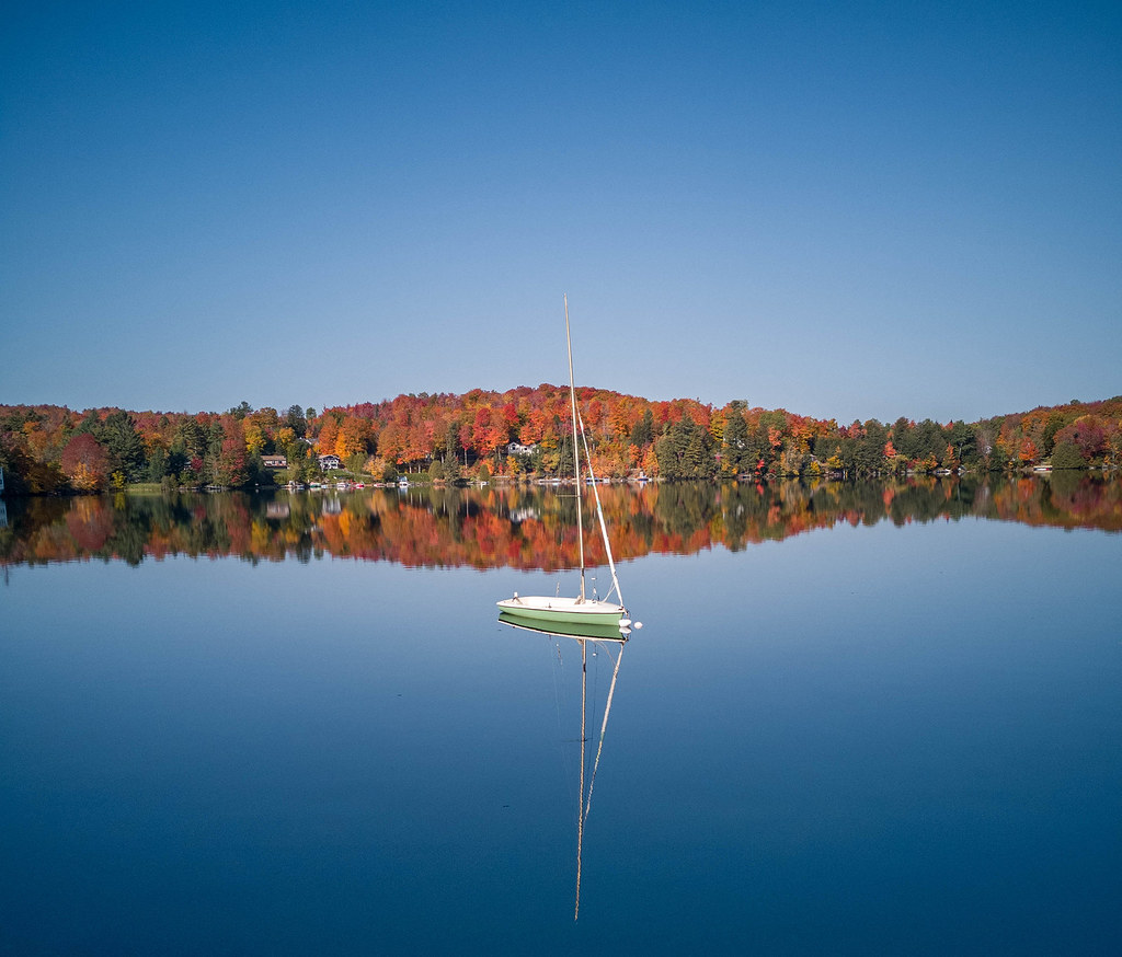 Sentier De L'estrie, Zone OrfordHiking · ~17 min drivePhoto: MCdeMtl, CC BY-SA 2.0 (via Flickr)
- Snug HarbourBoat launch · ~18 min drive
Best time to visit Mont Glen
Best months: May–September. Best months have typical highs of 55–85 °F, lows of 30 °F or warmer (32 °F where the station doesn't record snow), at most one snowy day and no more than 12 wet days.
Jan
24° / 4°
Feb
25° / 6°
Mar
34° / 15°
Apr
46° / 28°
May
61° / 41°
Jun
70° / 51°
Jul
74° / 56°
Aug
72° / 54°
Sep
66° / 46°
Oct
52° / 35°
Nov
39° / 24°
Dec
29° / 13°
Typical high / low (°F) and days with rain or snow, 1991–2020. Measured at Jay Peak, VT, 18.4 mi away at 1,840 ft. This station doesn't record snowfall. Source: NOAA NCEI U.S. Climate Normals 1991–2020.
Map and trail data © OpenStreetMap contributors
