Passaconaway
Campground
Campground · 1.3 mi from the trail
 Photo: Christian Collins, CC BY-SA 2.0 (via Flickr)
Closure in the area
There's a closure order in White Mountain National Forest. It doesn't name Sabbaday Brook Trail, so check the source for the area it covers (2 listed).
Wild River Fire - Androscoggin Ranger District
Agency closure covering White Mountain National Forest · USFS · White Mountain National Forest
Rattlesnake Fire – Pemigewasset Ranger District
Agency closure covering White Mountain National Forest · USFS · White Mountain National Forest
Town Hall Road Camping and Fire Restrictions
Agency alert covering White Mountain National Forest · USFS · White Mountain National Forest
Lincoln Woods Trail Closure
Agency alert covering White Mountain National Forest · USFS · White Mountain National Forest
Forest Roads Status
Agency alert covering White Mountain National Forest · USFS · White Mountain National Forest
As of · Source: USFS · White Mountain National Forest. Agencies don't list every closure — check before you go.
Sabbaday Brook Trail is a 4.6-mile moderate hike in the Saco Ranger District of White Mountain National Forest in New Hampshire, managed by the Forest Service. The trail is a point-to-point route, and the climb is back-loaded, with the high point at 3,868 feet and the low at 1,324 feet. The total elevation gain is 2,410 feet, and the start sits at about 1,517 feet. The trail makes a good anchor for a day in the area. Passaconaway campground and Radeke Cabin are both within about 1.5 miles, and the Mount Potash Trail and Pine Bend Brook Trail are each about 1.2 miles away.
Passaconaway
Campground
 If it rainsKen Gallager, CC BY-SA 4.0 · Wikimedia Commons
Places © OpenStreetMap contributors · Photos: Ken Gallager, CC BY-SA 4.0 (commons)
More in North Conway Pine Bend Brook TrailHikingPhoto: usfs_Eastern_Region, Public Domain Mark (via Flickr)1.2 mi
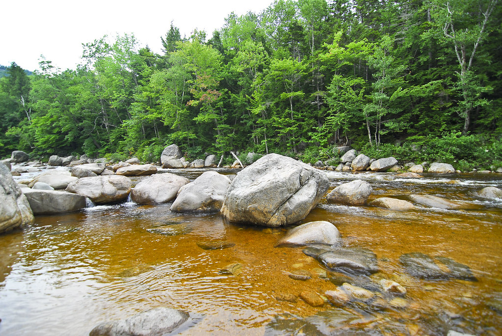 Mount Potash TrailHikingPhoto: pennuja, CC BY 2.0 (via Flickr)1.2 miChurch Pond TrailHikingPhoto: pennuja, CC BY 2.0 (via Flickr)1.3 mi
Source: Roamze catalog (indexable pages within 10 miles, PostGIS distance)
Pine Bend Brook TrailHiking · ~2 min drivePhoto: usfs_Eastern_Region, Public Domain Mark (via Flickr)Church Pond TrailHiking · ~2 min drivePhoto: pennuja, CC BY 2.0 (via Flickr) Downes Brook TrailHiking · ~2 min drivePhoto: pennuja, CC BY 2.0 (via Flickr)Mount Potash TrailHiking · ~2 min drivePhoto: pennuja, CC BY 2.0 (via Flickr)
 Church Pond Loop Trail (Section Closed)Hiking · ~2 min drivePhoto: Earl Mcgehee, CC BY-SA 3.0 (via Wikimedia Commons)
 NANAMOCOMUCK SKI TRAILHiking · ~5 min drivePhoto: usfs_Eastern_Region, Public Domain Mark (via Flickr)
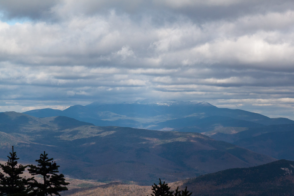 Mt. Tripyramid TrailHiking · ~5 min drivePhoto: timsackton, CC BY-SA 2.0 (via Flickr)OLIVERIAN-DOWNES SKI TRAILHiking · ~3 min drivePhoto: pennuja, CC BY 2.0 (via Flickr)
 Mt. Tripyramid TrailHiking · ~6 min drivePhoto: drsmith7383, CC BY 2.0 (via Flickr)
Map and trail data © OpenStreetMap contributors

