Passaconaway
Campground
Campground · 2.3 mi from the trail
 Photo: usfs_Eastern_Region, Public Domain Mark (via Flickr)
Closure in the area
There's a closure order in White Mountain National Forest. It doesn't name Pine Bend Brook Trail, so check the source for the area it covers (2 listed).
Wild River Fire - Androscoggin Ranger District
Agency closure covering White Mountain National Forest · USFS · White Mountain National Forest
Rattlesnake Fire – Pemigewasset Ranger District
Agency closure covering White Mountain National Forest · USFS · White Mountain National Forest
Town Hall Road Camping and Fire Restrictions
Agency alert covering White Mountain National Forest · USFS · White Mountain National Forest
Lincoln Woods Trail Closure
Agency alert covering White Mountain National Forest · USFS · White Mountain National Forest
Forest Roads Status
Agency alert covering White Mountain National Forest · USFS · White Mountain National Forest
As of · Source: USFS · White Mountain National Forest. Agencies don't list every closure — check before you go.
Pine Bend Brook Trail is a 3.6-mile moderate hike in the Saco Ranger District of White Mountain National Forest in New Hampshire, managed by the Forest Service. The out-and-back route gains about 3,640 feet, taking hikers from a low point near 1,400 feet to a high point of about 4,120 feet. The trail's climb makes it a full-day effort. The round-trip distance is about 7 miles, and the elevation gain works out to roughly 3,600 feet one way. Plan on time and stamina for the ascent to the high point. Several other outings sit within a few miles. Sabbaday Brook Trail is about a mile away, and Passaconaway campground is about 2.3 miles off. Greens Cliff, a climbing area, and the Swift River fishing access are also nearby.
Passaconaway
Campground
 If it rainsKen Gallager, CC BY-SA 4.0 · Wikimedia Commons
Places © OpenStreetMap contributors · Photos: Ken Gallager, CC BY-SA 4.0 (commons)
More in North ConwayDaily highs and lows, wind and the chance of precipitation at the summit and route start for the next 7 days, from the Open-Meteo model.
 Sabbaday Brook TrailHikingPhoto: Christian Collins, CC BY-SA 2.0 (via Flickr)1.2 mi
 NANAMOCOMUCK SKI TRAILHikingPhoto: usfs_Eastern_Region, Public Domain Mark (via Flickr)2.1 mi
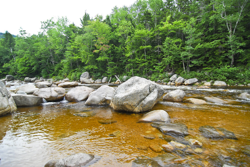 Church Pond TrailHikingPhoto: pennuja, CC BY 2.0 (via Flickr)2.3 mi
Source: Roamze catalog (indexable pages within 10 miles, PostGIS distance)
Sabbaday Brook TrailHiking · ~2 min drivePhoto: Christian Collins, CC BY-SA 2.0 (via Flickr) Church Pond Loop Trail (Section Closed)Hiking · ~3 min drivePhoto: Earl Mcgehee, CC BY-SA 3.0 (via Wikimedia Commons)NANAMOCOMUCK SKI TRAILHiking · ~4 min drivePhoto: usfs_Eastern_Region, Public Domain Mark (via Flickr)Mount Potash TrailHiking · ~4 min drivePhoto: pennuja, CC BY 2.0 (via Flickr)
 OLIVERIAN-DOWNES SKI TRAILHiking · ~4 min drivePhoto: pennuja, CC BY 2.0 (via Flickr)Downes Brook TrailHiking · ~4 min drivePhoto: pennuja, CC BY 2.0 (via Flickr)
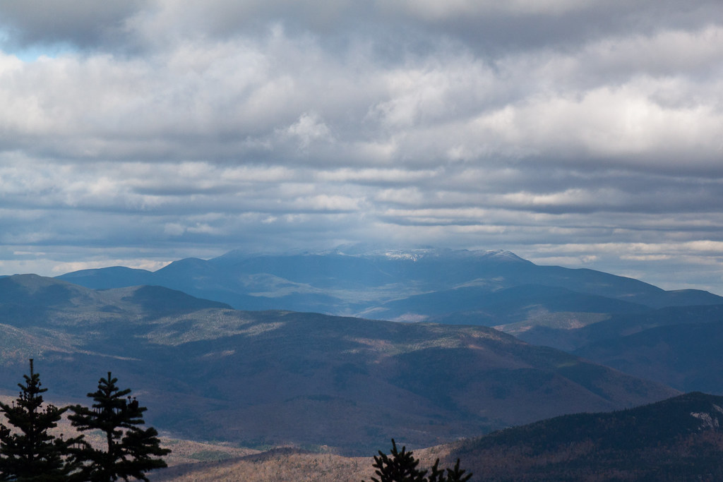 Mt. Tripyramid TrailHiking · ~4 min drivePhoto: timsackton, CC BY-SA 2.0 (via Flickr)
 KATE SLEEPER TRAILHiking · ~6 min drivePhoto: drsmith7383, CC BY 2.0 (via Flickr)Mt. Tripyramid TrailHiking · ~6 min drivePhoto: drsmith7383, CC BY 2.0 (via Flickr)
About 3.6 mi round trip.
About 3,762 ft of climbing round trip.
It is rated moderate.
About 3.5 hours round trip.
3: Mt. Tripyramid Trail, Pine Bend Brook Trail and TRIPYRAMID LOOP.
Map and trail data © OpenStreetMap contributors

