Northern Rail Trail
- 0.5 mi
- round trip
- 86 ft
- climb
- 861 ft
- high point
- Out and back
- route
- May–Oct
- best months
The Northern Rail Trail is a short, easy out-and-back hike in New Hampshire, about half a mile from the small community of Fords Crossing. The trail is just over a mile long, and the total climb is about 86 feet, with the high point at 861 feet and the low at 815 feet. The route is mostly flat, with a gentle grade of about 6% on the steepest section near the start. At about 0.5 miles, the trail turns around and returns to the starting point. The whole trip takes roughly half an hour, so it works well as a quick stop while exploring the area. Summer and early fall are the most comfortable times to go. Typical averages from a nearby weather station in Grafton show July highs around 79°F and September highs around 71°F. Winter is much colder, with January highs near 29°F. The Smith River, a canoeing route, is about half a mile away. The Skyland Trail and Woodland Trail are both within about 6 miles. The Ski Route, a backcountry skiing area, is about 6 miles off.
- Smith RiverCanoeing0.6 mi
 Skyland TrailHikingPhoto: timsackton, CC BY-SA 2.0 (via Flickr)4.1 mi
- Woodland TrailHiking5.7 mi
- Ski RouteBackcountry skiing6.2 mi
- AlleywayCross-country skiing6.2 mi
- Bailey Brook Ski TrailCross-country skiing6.3 mi
 Newfound RiverCanoeingPhoto: Ken Gallager at en.wikipedia, Public domain (via Wikimedia Commons)8.6 mi
- Indian RiverCanoeing9.3 mi
Source: Roamze catalog (indexable pages within 10 miles, PostGIS distance)
 Northern Rail TrailHiking · ~6 min drivePhoto: Russ Nelson, CC BY-SA 2.0 (via Flickr)
 Kimball Ski TrailHiking · ~11 min drivePhoto: Šarūnas Burdulis from USA, CC BY-SA 2.0 (via Wikimedia Commons)
 Holt TrailHiking · ~11 min drivePhoto: Šarūnas Burdulis from USA, CC BY-SA 2.0 (via Wikimedia Commons)
- Skyland TrailHiking · ~7 min drivePhoto: timsackton, CC BY-SA 2.0 (via Flickr)
 Bailey Brook Ski TrailHiking · ~11 min drivePhoto: Šarūnas Burdulis from USA, CC BY-SA 2.0 (via Wikimedia Commons)
- Manning TrailHiking · ~12 min drivePhoto: Šarūnas Burdulis from USA, CC BY-SA 2.0 (via Wikimedia Commons)
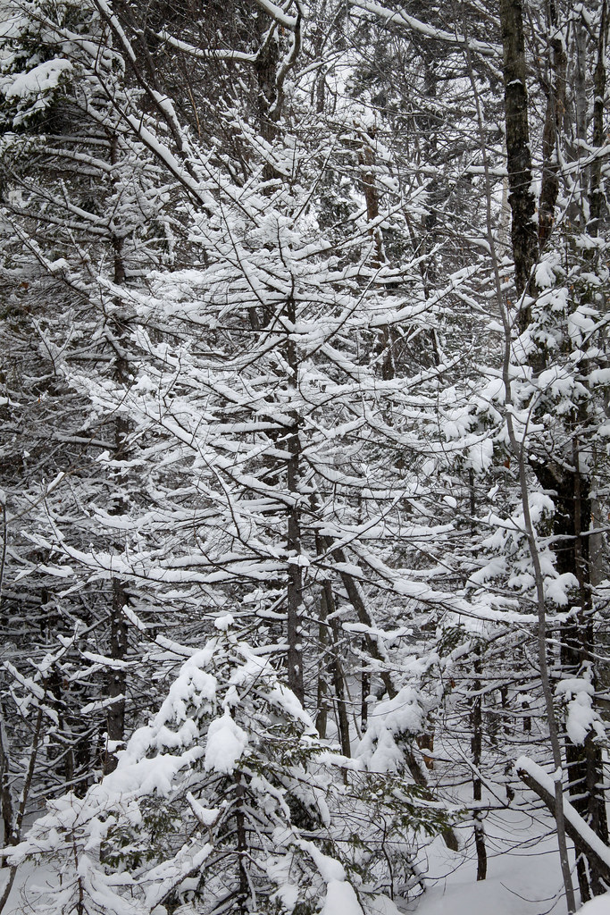 Skyland TrailHiking · ~7 min drivePhoto: timsackton, CC BY-SA 2.0 (via Flickr)
- Nature TrailHiking · ~11 min drivePhoto: Šarūnas Burdulis from USA, CC BY-SA 2.0 (via Wikimedia Commons)
 Vistamont TrailHiking · ~10 min drivePhoto: Šarūnas Burdulis, CC BY-SA 2.0 (via Flickr)
 Lower Manning TrailHiking · ~11 min drivePhoto: Šarūnas Burdulis from USA, CC BY-SA 2.0 (via Wikimedia Commons)
Best time to visit Northern Rail Trail
Best months: May–October. Best months have typical highs of 55–85 °F, lows of 30 °F or warmer (32 °F where the station doesn't record snow), at most one snowy day and no more than 12 wet days.
Jan
29° / 7°
12 wet
Feb
32° / 7°
10 wet
Mar
40° / 17°
11 wet
Apr
54° / 28°
10 wet
May
66° / 40°
10 wet
Jun
75° / 50°
10 wet
Jul
79° / 54°
10 wet
Aug
78° / 53°
8 wet
Sep
71° / 45°
9 wet
Oct
58° / 33°
10 wet
Nov
45° / 25°
11 wet
Dec
34° / 15°
12 wet
Typical high / low (°F) and days with rain or snow, 1991–2020. Measured at Grafton, NH, 2.5 mi away at 830 ft. This station doesn't record snowfall. Source: NOAA NCEI U.S. Climate Normals 1991–2020.

Map and trail data © OpenStreetMap contributors
