Skyland Trail
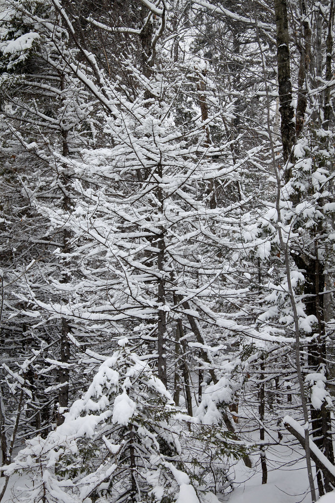 Photo: timsackton, CC BY-SA 2.0 (via Flickr)
- 2.4 mi
- round trip
- 1,645 ft
- climb
- 2,796 ft
- high point
- Out and back
- route
Skyland Trail is a moderate out-and-back hike in New Hampshire, about 3.8 miles from the town of East Grafton. The trail is roughly 4.8 miles long, with a total elevation gain of 1,645 feet, and it reaches a high point of 2,796 feet. The climb is steady, and the steepest stretch comes early, around 0.08 miles from the start, where the grade reaches 27 percent. The trail begins at 2,158 feet and climbs to the high point before descending back to the same elevation. Plan on about 2.5 hours for the round trip. Several other trails sit within about 1.5 miles, including Woodland Trail, Clark Trail; Woodland Trail and Vistamont Trail. Cathedral Forest Trail is about 1.7 miles away.
Conditions and forecast on Orange Mountain
Daily highs and lows, wind and the chance of precipitation at the summit and route start for the next 7 days, from the Open-Meteo model.
- Woodland TrailHiking1.5 mi
- Clark Trail; Woodland TrailHiking1.5 mi
 Vistamont TrailHikingPhoto: Šarūnas Burdulis, CC BY-SA 2.0 (via Flickr)1.5 mi
- Cathedral Forest TrailHikingPhoto: Šarūnas Burdulis, CC BY-SA 2.0 (via Flickr)1.7 mi
- Ski RouteBackcountry skiing1.9 mi
- Smith RiverCanoeing4.5 mi
- Indian RiverCanoeing6.4 mi
 Newfound RiverCanoeingPhoto: Ken Gallager at en.wikipedia, Public domain (via Wikimedia Commons)8 mi
Source: Roamze catalog (indexable pages within 10 miles, PostGIS distance)
 Skyland TrailHiking · ~2 min drivePhoto: timsackton, CC BY-SA 2.0 (via Flickr)
 Kimball Ski TrailHiking · ~3 min drivePhoto: Šarūnas Burdulis from USA, CC BY-SA 2.0 (via Wikimedia Commons)
 Holt TrailHiking · ~4 min drivePhoto: Šarūnas Burdulis from USA, CC BY-SA 2.0 (via Wikimedia Commons)
- Vistamont TrailHiking · ~3 min drivePhoto: Šarūnas Burdulis, CC BY-SA 2.0 (via Flickr)
 Bailey Brook Ski TrailHiking · ~4 min drivePhoto: Šarūnas Burdulis from USA, CC BY-SA 2.0 (via Wikimedia Commons)
- Manning TrailHiking · ~4 min drivePhoto: Šarūnas Burdulis from USA, CC BY-SA 2.0 (via Wikimedia Commons)
- Cathedral Forest TrailHiking · ~3 min drivePhoto: Šarūnas Burdulis, CC BY-SA 2.0 (via Flickr)
- Nature TrailHiking · ~4 min drivePhoto: Šarūnas Burdulis from USA, CC BY-SA 2.0 (via Wikimedia Commons)
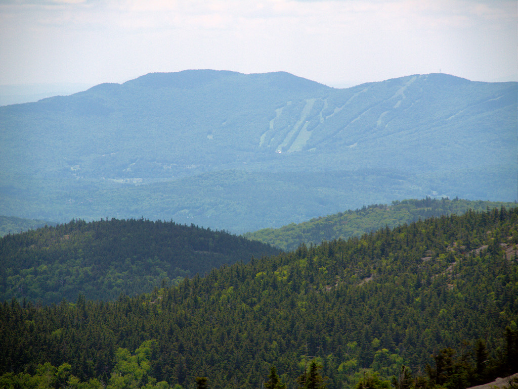 Alexandria Ski TrailHiking · ~3 min drivePhoto: Šarūnas Burdulis, CC BY-SA 2.0 (via Flickr)
 Woodland TrailHiking · ~4 min drivePhoto: Šarūnas Burdulis from USA, CC BY-SA 2.0 (via Wikimedia Commons)

Route details
- Distance
- 2.4 mi round trip
- Climbing
- About 1,645 ft
- Summit
- 2,679 ft
- Difficulty
- Moderate
- Time
- About 1.5 hours
Other routes up Orange Mountain
Questions about this route
How long is the Skyland Trail on Orange Mountain?
About 2.4 mi round trip.
How much elevation gain is on the Skyland Trail?
About 1,645 ft of climbing round trip.
How hard is the Skyland Trail?
It is rated moderate.
How long does the Skyland Trail take?
About 1.5 hours round trip.
How many routes go up Orange Mountain?
2: Vistamont Trail and Skyland Trail.
Map and trail data © OpenStreetMap contributors
