Blackberry Crossing
Campground
Campground · 1.7 mi from the trail
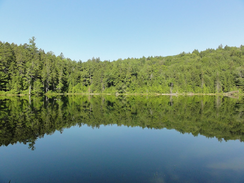 Photo: eedrummer, CC BY-SA 2.0 (via Flickr)
Closure in the area
There's a closure order in White Mountain National Forest. It doesn't name Lovequist Loop, so check the source for the area it covers (2 listed).
Wild River Fire - Androscoggin Ranger District
Agency closure covering White Mountain National Forest · USFS · White Mountain National Forest
Rattlesnake Fire – Pemigewasset Ranger District
Agency closure covering White Mountain National Forest · USFS · White Mountain National Forest
Town Hall Road Camping and Fire Restrictions
Agency alert covering White Mountain National Forest · USFS · White Mountain National Forest
Lincoln Woods Trail Closure
Agency alert covering White Mountain National Forest · USFS · White Mountain National Forest
Forest Roads Status
Agency alert covering White Mountain National Forest · USFS · White Mountain National Forest
As of · Source: USFS · White Mountain National Forest. Agencies don't list every closure — check before you go.
Lovequist Loop is a short, easy loop in the Saco Ranger District of White Mountain National Forest in New Hampshire, managed by the Forest Service. The trail is 0.7 miles long, with a total elevation gain of about 50 feet, and it sits at roughly 1,115 to 1,183 feet. The route is natural-surfaced and allows bikes, so it works for a quick walk or a ride on a mountain bike. Summer is the most comfortable time to go. Typical averages from a nearby weather station at Waterville Valley run to highs around 77°F in July and 76°F in August, with lows in the mid-50s. Winters are cold, with January highs near 28°F. The loop makes an easy addition to a day spent exploring the surrounding area. The Wenonah Trail, a cross-country ski route, lies just 0.1 mile away, and the WM: Kancamagus (Eastern) climbing area is about 0.7 mile off. Blackberry Crossing campground is about 1.7 miles away, and the Swift River offers river fishing about 3.3 miles from the trail.
Blackberry Crossing
Campground
Lobster Trap
Restaurant
 If it rainsKen Gallager, CC BY-SA 4.0 · Wikimedia Commons
Places © OpenStreetMap contributors · Photos: Ken Gallager, CC BY-SA 4.0 (commons)
More in North ConwayBest months: May–October. Best months have typical highs of 55–85 °F, lows of 30 °F or warmer (32 °F where the station doesn't record snow), at most one snowy day and no more than 12 wet days.
Jan
28° / 6°
Feb
30° / 6°
Mar
38° / 15°
Apr
50° / 28°
May
63° / 40°
Jun
72° / 49°
Jul
77° / 54°
Aug
76° / 52°
Sep
69° / 45°
Oct
56° / 34°
Nov
43° / 25°
Dec
33° / 14°
Typical high / low (°F) and days with rain or snow, 1991–2020. Measured at Waterville Valley Nepp, NH, 12.2 mi away at 1,429 ft. This station doesn't record snowfall. Source: NOAA NCEI U.S. Climate Normals 1991–2020.
 Photo: mrdannynavarro, CC BY-SA 2.0 (via Flickr)
WENONAH TRAIL
Next door
2.1-mile out-and-back hike in New Hampshire with 527 ft elevation gain
 Photo: Eric Kilby, CC BY-SA 2.0 (via Flickr)
Boulder Loop Trail
~3 min drive
2.94-mile loop trail in New Hampshire with 1,219 ft elevation gain.
Photo: Eric Kilby, CC BY-SA 2.0 (via Flickr)Sabbaday Brook Trail - New Hampshire
~3 min drive
Point-to-point trail following Sabbaday Brook through White Mountains forest.
HIKE
Mount Tremont Trail
~9 min drive
5.08-mile out-and-back hike in New Hampshire with 285 ft gain and 2,746 ft loss.
 Photo: Martin Ibert, CC BY-SA 2.0 (via Flickr)
WENUNCHUS SKI TRAIL
~2 min drive
1.94-mile out-and-back ski trail in New Hampshire with 449 ft elevation gain
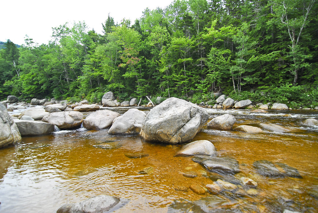 Photo: pennuja, CC BY 2.0 (via Flickr)
Mount Potash Trail
~8 min drive
3.20-mile out-and-back hike in New Hampshire with 1,181 ft gain
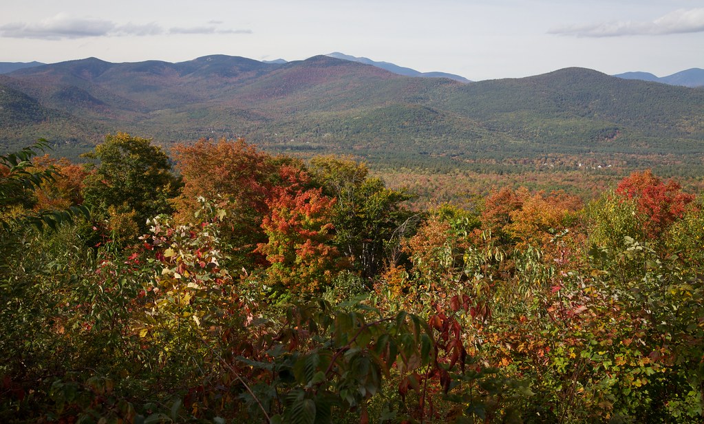 Photo: string_bass_dave, CC BY-SA 2.0 (via Flickr)
Attitash Trail
~5 min drive
14.40-mile out-and-back trail in New Hampshire with 2,215 ft gain.
 Photo: DragonFire1024, CC BY 3.0 (via Wikimedia Commons)
West Side Trail
~6 min drive
0.84-mile out-and-back hike in New Hampshire with 336 ft gain.
HIKE
Champney Falls Trail
~2 min drive
5.96-mile out-and-back hike in New Hampshire with 2,193 ft gain.
Photo: DragonFire1024, CC BY 3.0 (via Wikimedia Commons)Brook Trail
~6 min drive
6.34-mile out-and-back trail in New Hampshire with 171 ft gain and 2,324 ft loss.
Also worth it near here
