Riverbrook RV & Camping Resort
Campground
Campground · 4.0 mi from the trail
Little Pond Trail is a short, easy hike in northern New Hampshire, about 2.2 miles from the town of North Groton. The trail is an out-and-back, roughly 1.1 miles long, with a total climb of about 213 feet. The route starts at around 1,335 feet and reaches a high point of about 1,448 feet, with the steepest stretch coming at about 0.4 miles in, where the grade reaches about 13%. Summer is the most comfortable time to go. Typical averages from a nearby weather station in Plymouth put July highs around 80°F with lows near 54°F, and the station sits well below the trail, so temperatures on the higher ground run cooler. Bald Knob Trail is about 0.8 miles away. Tenney Mountain Resort, a downhill ski area, is about 2.6 miles off. Sandy Point Trail and the Ridge/Lakeside Trail are both within about 4 miles.
Riverbrook RV & Camping Resort
Campground
 If it rainsDaderot, CC0 · Wikimedia Commons
Places © OpenStreetMap contributors, Places © Overture Maps Foundation · Photos: Daderot, CC0 (commons)
More in Bradford Ridge/Lakeside TrailHikingPhoto: Magicpiano, CC BY-SA 4.0 (via Wikimedia Commons)4 mi
Source: Roamze catalog (indexable pages within 10 miles, PostGIS distance)
Ridge/Lakeside TrailHiking · ~7 min drivePhoto: Magicpiano, CC BY-SA 4.0 (via Wikimedia Commons)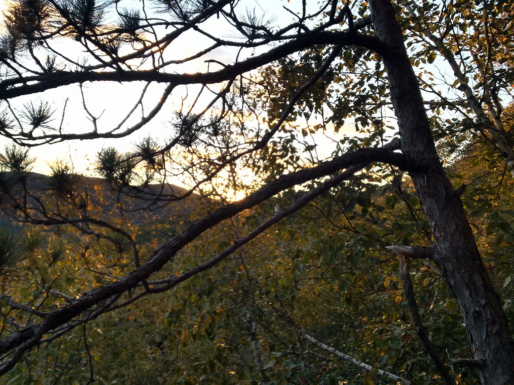 Rattlesnake MtnHiking · ~8 min drivePhoto: just6979, CC BY-SA 2.0 (via Flickr)
 Manning TrailHiking · ~12 min drivePhoto: Šarūnas Burdulis from USA, CC BY-SA 2.0 (via Wikimedia Commons)
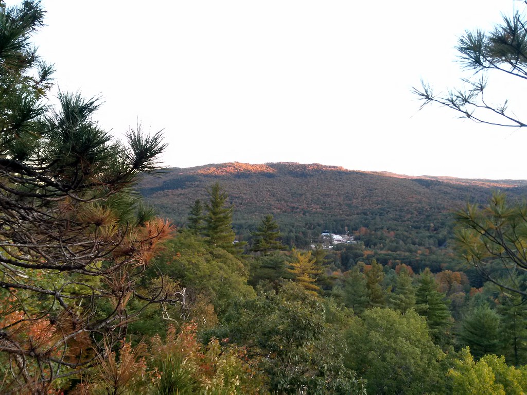 Final Frontier TrailHiking · ~8 min drivePhoto: just6979, CC BY-SA 2.0 (via Flickr)Elwell Trail (Yellow)Hiking · ~10 min drivePhoto: Magicpiano, CC BY-SA 4.0 (via Wikimedia Commons)Holt TrailHiking · ~13 min drivePhoto: Šarūnas Burdulis from USA, CC BY-SA 2.0 (via Wikimedia Commons)
 Back 80 LoopHiking · ~10 min drivePhoto: timsackton, CC BY-SA 2.0 (via Flickr)Back 80 TrailHiking · ~11 min drivePhoto: Šarūnas Burdulis from USA, CC BY-SA 2.0 (via Wikimedia Commons)Backwoods Trail (Blue)Hiking · ~11 min drivePhoto: Magicpiano, CC BY-SA 4.0 (via Wikimedia Commons)
 Dukes Ski TrailHiking · ~11 min drivePhoto: Šarūnas Burdulis from USA, CC BY-SA 2.0 (via Wikimedia Commons)
Best months: August–September. Best months have typical highs of 55–85 °F, lows of 30 °F or warmer (32 °F where the station doesn't record snow), at most one snowy day and no more than 12 wet days.
Jan
29° / 7°
12 wet
Feb
33° / 8°
9 wet
Mar
41° / 18°
11 wet
Apr
55° / 29°
10 wet
May
67° / 39°
13 wet
Jun
75° / 49°
13 wet
Jul
80° / 54°
13 wet
Aug
79° / 52°
12 wet
Sep
72° / 45°
11 wet
Oct
58° / 34°
13 wet
Nov
46° / 25°
12 wet
Dec
34° / 15°
12 wet
Typical high / low (°F) and days with rain or snow, 1991–2020. Measured at Plymouth, NH, 9.7 mi away at 660 ft. The station sits about 800 ft lower than this place, so expect it a little cooler here. This station doesn't record snowfall. Source: NOAA NCEI U.S. Climate Normals 1991–2020.
Map and trail data © OpenStreetMap contributors
