Little Monadnock Trail
- 1.1 mi
- round trip
- 670 ft
- climb
- 1,786 ft
- high point
- Out and back
- route
- Oct
- best months
Little Monadnock Trail is a short, easy hike in southern New Hampshire, about a mile from the town of Rockwood. The trail is an out-and-back route that starts at roughly 1,270 feet and climbs to about 1,780 feet, with a total gain of 670 feet over a round trip of about 2.3 miles. The steepest stretch comes near the middle of the route, where the grade reaches about 25%. Summer is the most comfortable time to go. Typical averages from a nearby weather station in Jaffrey show July highs around 81°F with lows near 59°F, and September cools to highs around 71°F. That station sits about 750 feet lower than the trail's high point, so temperatures on the summit run cooler. The Blue trail (Widow Gage) and the Monadnock Recreational Rail Trail both lie about a mile away. Climbers can head to the Revolutionary War Boulder, about 4 miles off, and paddlers will find the East Branch Tully River roughly 8 miles away.
- Blue trail (Widow Gage)Hiking1.1 mi
- Monadnock Recreational Rail TrailHiking1.1 mi
- Revolutionary War BoulderRock climbing4.2 mi
- Carroll's Hill PathHiking5.7 mi
- East Branch Tully RiverCanoeing8.1 mi
- The BranchCanoeing9.5 mi
- Tully Lake Recreation Area (ma)Camping9.6 mi
- Stone Arch BridgeRock climbing9.7 mi
Source: Roamze catalog (indexable pages within 10 miles, PostGIS distance)
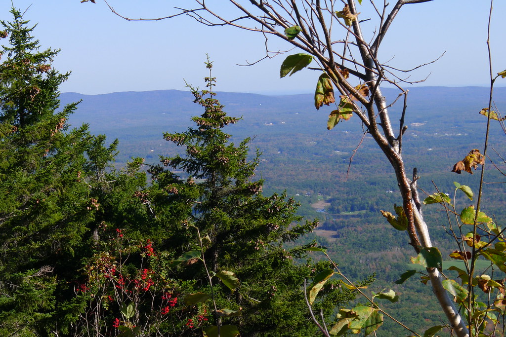 Old Halfway House TrailHiking · ~10 min drivePhoto: chipmunk_1, CC BY-SA 2.0 (via Flickr)
- Cart PathHiking · ~10 min drivePhoto: chipmunk_1, CC BY-SA 2.0 (via Flickr)
 Tully TrailHiking · ~11 min drivePhoto: Pgagnon999 Paul Gagnon, CC BY-SA 4.0 (via Wikimedia Commons)
- Marian TrailHiking · ~11 min drivePhoto: chipmunk_1, CC BY-SA 2.0 (via Flickr)
 Hello RockHiking · ~11 min drivePhoto: randomduck, CC BY-SA 2.0 (via Flickr)
 Metacomet - Monadnock TrailHiking · ~12 min drivePhoto: Karlunun, CC BY-SA 4.0 (via Wikimedia Commons)
 Monte RosaHiking · ~11 min drivePhoto: chipmunk_1, CC BY-SA 2.0 (via Flickr)
- Great Pasture TrailHiking · ~11 min drivePhoto: chipmunk_1, CC BY-SA 2.0 (via Flickr)
- Monadnock Recreational Rail TrailHiking · ~2 min drive
 Lost Farm TrailHiking · ~11 min drivePhoto: Under the same moon..., CC BY 2.0 (via Flickr)
Best time to visit Little Monadnock Trail
Best months: October. Best months have typical highs of 55–85 °F, lows of 30 °F or warmer (32 °F where the station doesn't record snow), at most one snowy day and no more than 12 wet days.
Jan
31° / 13°
12 wet
Feb
34° / 14°
11 wet
Mar
42° / 23°
12 wet
Apr
55° / 33°
13 wet
May
67° / 44°
14 wet
Jun
75° / 54°
14 wet
Jul
81° / 59°
14 wet
Aug
79° / 57°
14 wet
Sep
71° / 50°
13 wet
Oct
59° / 39°
12 wet
Nov
47° / 30°
11 wet
Dec
36° / 20°
12 wet
Typical high / low (°F) and days with rain or snow, 1991–2020. Measured at Jaffrey Muni Ap, NH, 9.6 mi away at 1,040 ft. The station sits about 700 ft lower than this place, so expect it a little cooler here. This station doesn't record snowfall. Source: NOAA NCEI U.S. Climate Normals 1991–2020.

Map and trail data © OpenStreetMap contributors
