Cart Path
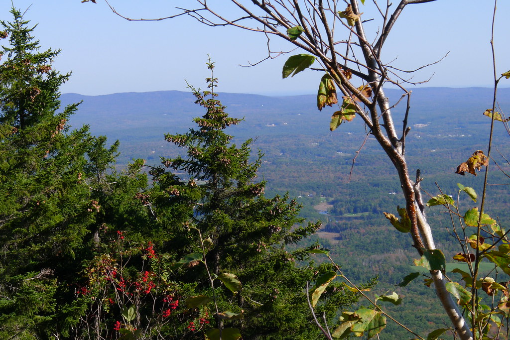 Photo: chipmunk_1, CC BY-SA 2.0 (via Flickr)
- 0.4 mi
- one way
- 43 ft
- climb
- 1,959 ft
- high point
- Point to point
- route
- Apr–Oct
- best months
Cart Path is a short, easy hike in New Hampshire, about 0.44 miles long and rising about 43 feet from a low point of 1,875 feet to a high of 1,959 feet. The route is a point-to-point walk, and the steepest stretch comes at about 0.33 miles in, with a 7% grade. The nearest town is Jaffrey Center, about 3.7 miles away. The most comfortable months for a visit are late spring through early fall. Typical averages from a nearby weather station run from highs around 68°F in May to about 83°F in July, with September easing back to the low 70s. That station sits roughly 900 feet lower than the trail, so temperatures on the path run cooler. The Marian Trail and the Great Pasture Trail both start about 0.2 miles away. For paddling, Nubanusit Brook and the Contoocook River are each about 7 miles off.
- Marian TrailHikingPhoto: chipmunk_1, CC BY-SA 2.0 (via Flickr)0.2 mi
 Great Pasture TrailHikingPhoto: chipmunk_1, CC BY-SA 2.0 (via Flickr)0.2 mi
- Nubanusit BrookCanoeing7.1 mi
- Contoocook RiverCanoeing7.2 mi
- Edward MacDowell Lake Day Use FacilitiesCamping7.4 mi
- Stone Arch BridgeRock climbing8 mi
- Monadnock RegionRock climbing8.4 mi
- Otter Brook Lake Recreation AreaCamping9.6 mi
Source: Roamze catalog (indexable pages within 10 miles, PostGIS distance)
- Great Pasture TrailHiking · Next doorPhoto: chipmunk_1, CC BY-SA 2.0 (via Flickr)
- Marian TrailHiking · Next doorPhoto: chipmunk_1, CC BY-SA 2.0 (via Flickr)
 Metacomet - Monadnock TrailHiking · ~1 min drivePhoto: Karlunun, CC BY-SA 4.0 (via Wikimedia Commons)
 Hello RockHiking · Next doorPhoto: randomduck, CC BY-SA 2.0 (via Flickr)
- Old Halfway House TrailHiking · Next doorPhoto: chipmunk_1, CC BY-SA 2.0 (via Flickr)
- Monadnock Recreational Rail TrailHiking · ~9 min drive
 Side Foot TrailHiking · ~1 min drivePhoto: ihamr, CC BY 2.0 (via Flickr)
- Monte RosaHiking · Next doorPhoto: chipmunk_1, CC BY-SA 2.0 (via Flickr)
- Cliff WalkHiking · ~1 min drivePhoto: ihamr, CC BY 2.0 (via Flickr)
- Smith Summit TrailHiking · Next doorPhoto: Karlunun, CC BY-SA 4.0 (via Wikimedia Commons)
Best time to visit Cart Path
Best months: April–October. Best months have typical highs of 55–85 °F, lows of 30 °F or warmer (32 °F where the station doesn't record snow), at most one snowy day and no more than 12 wet days.
Jan
32° / 13°
Feb
35° / 14°
Mar
43° / 21°
Apr
56° / 34°
May
68° / 45°
Jun
77° / 55°
Jul
83° / 60°
Aug
80° / 58°
Sep
73° / 51°
Oct
60° / 38°
Nov
47° / 29°
Dec
37° / 20°
Typical high / low (°F) and days with rain or snow, 1991–2020. Measured at Jaffrey Silver Rch Airpark, NH, 6.6 mi away at 1,030 ft. The station sits about 900 ft lower than this place, so expect it a little cooler here. This station doesn't record snowfall. Source: NOAA NCEI U.S. Climate Normals 1991–2020.

Map and trail data © OpenStreetMap contributors
