Harrisville Rail Trail
- 0.4 mi
- round trip
- 89 ft
- climb
- 1,267 ft
- high point
- Out and back
- route
- Apr–Oct
- best months
Harrisville Rail Trail is a short, easy out-and-back hike in New Hampshire, about 1.5 miles from the town of Harrisville. The route is just under a mile long, with a total elevation gain of 89 feet, and it reaches a high point of 1,267 feet before returning to the starting elevation of 1,217 feet. The trail is an easy walk that fits easily into a day spent exploring the surrounding area. The climb is gentle, with the steepest stretch at about 0.08 miles from the start, and the whole trip takes roughly half an hour. Summer is the most comfortable time to go. Typical averages from a nearby weather station show July highs around 83°F with lows near 60°F, while September cools to highs in the low 70s. North Pond Trail and Zophar Willard Trail both lie within a mile, and Edward MacDowell Lake Day Use Facilities is about 5 miles away. Paddlers can head to Nubanusit Brook, roughly 4 miles off.
- North Pond TrailHiking0.6 mi
 Zophar Willard TrailHikingPhoto: dewittn, CC BY-SA 2.0 (via Flickr)0.9 mi
- Nubanusit BrookCanoeing3.9 mi
- Edward MacDowell Lake Day Use FacilitiesCamping5.2 mi
- Spacious Skies Campgrounds - Seven MaplesCamping5.7 mi
- Monadnock RegionRock climbing6 mi
- Parking BouldersRock climbing6.1 mi
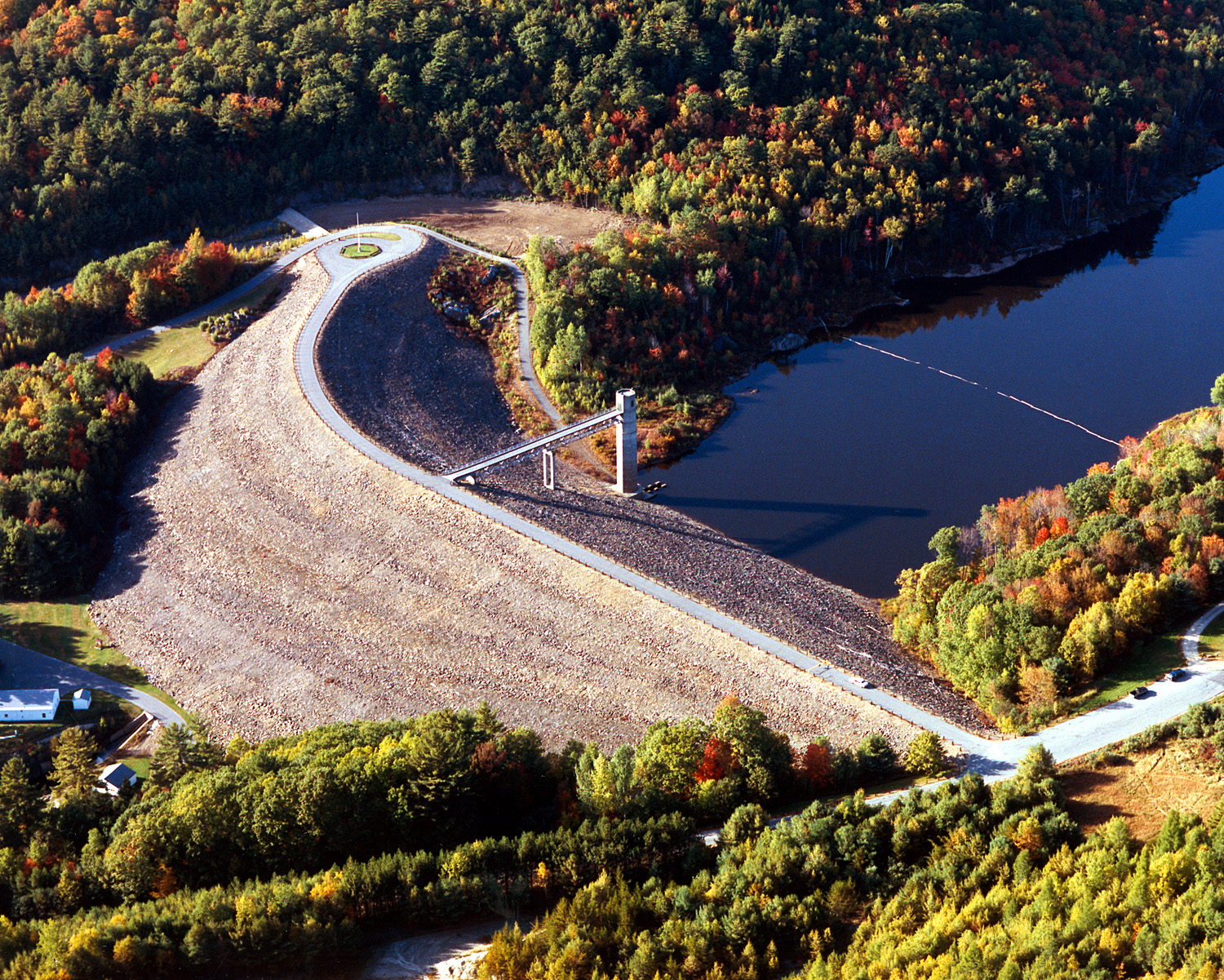 Otter BrookCanoeingPhoto: U.S. Army Corps of Engineers, photographer not specified or unknown, Public domain (via Wikimedia Commons)7.5 mi
Source: Roamze catalog (indexable pages within 10 miles, PostGIS distance)
- Zophar Willard TrailHiking · ~2 min drivePhoto: dewittn, CC BY-SA 2.0 (via Flickr)
 Cadot TrailHiking · ~5 min drivePhoto: Steven Lamonde, CC BY 4.0 (via Wikimedia Commons)
 Metacomet - Monadnock TrailHiking · ~9 min drivePhoto: Karlunun, CC BY-SA 4.0 (via Wikimedia Commons)
- River TrailHiking · ~2 min drivePhoto: dewittn, CC BY-SA 2.0 (via Flickr)
 West Ridge TrailHiking · ~9 min drivePhoto: U.S. Army Corps of Engineers, photographer not specified or unknown, Public domain (via Wikimedia Commons)
- Thumbs Up TrailHiking · ~5 min drivePhoto: Steven Lamonde, CC BY 4.0 (via Wikimedia Commons)
- Gorge TrailHiking · ~6 min drive
 Dublin Rotary TrailHiking · ~5 min drivePhoto: Unknown authorUnknown author, Public domain (via Wikimedia Commons)
 Thumbs Down TrailHiking · ~6 min drivePhoto: Under the same moon..., CC BY 2.0 (via Flickr)
 Hiroshi Loop TrailHiking · ~6 min drivePhoto: Under the same moon..., CC BY 2.0 (via Flickr)
Best time to visit Harrisville Rail Trail
Best months: April–October. Best months have typical highs of 55–85 °F, lows of 30 °F or warmer (32 °F where the station doesn't record snow), at most one snowy day and no more than 12 wet days.
Jan
32° / 13°
Feb
35° / 14°
Mar
43° / 21°
Apr
56° / 34°
May
68° / 45°
Jun
77° / 55°
Jul
83° / 60°
Aug
80° / 58°
Sep
73° / 51°
Oct
60° / 38°
Nov
47° / 29°
Dec
37° / 20°
Typical high / low (°F) and days with rain or snow, 1991–2020. Measured at Jaffrey Silver Rch Airpark, NH, 9.3 mi away at 1,030 ft. This station doesn't record snowfall. Source: NOAA NCEI U.S. Climate Normals 1991–2020.

Map and trail data © OpenStreetMap contributors
