Garfield Trail
- 9.6 mi
- round trip
- 2,883 ft
- climb
- 4,244 ft
- high point
- Out and back
- route
Is Garfield Trail open right now?
Closure in the area
There's a closure order in White Mountain National Forest. It doesn't name Garfield Trail, so check the source for the area it covers (2 listed).
Wild River Fire - Androscoggin Ranger District
Agency closure covering White Mountain National Forest · USFS · White Mountain National Forest
Rattlesnake Fire – Pemigewasset Ranger District
Agency closure covering White Mountain National Forest · USFS · White Mountain National Forest
Town Hall Road Camping and Fire Restrictions
Agency alert covering White Mountain National Forest · USFS · White Mountain National Forest
Lincoln Woods Trail Closure
Agency alert covering White Mountain National Forest · USFS · White Mountain National Forest
Forest Roads Status
Agency alert covering White Mountain National Forest · USFS · White Mountain National Forest
As of · Source: USFS · White Mountain National Forest. Agencies don't list every closure — check before you go.
Garfield Trail is a 9.6-mile out-and-back hike in the Pemigewasset Ranger District of White Mountain National Forest in New Hampshire, managed by the Forest Service. The trail rises from about 1,550 feet to a high point of 4,244 feet, with a total elevation gain of 2,883 feet. The climb is front-loaded, and the steepest stretch comes at about 3.8 miles in, where the grade reaches 23%. The trail is rated hard. The trailhead is Garfield Trailhead, and the route is open year-round. Plan for about 4.5 hours on the trail. The surface is natural, and bikes are allowed. Gale River Loop campground sits about half a mile away, and the Gale River hike is about 1.2 miles off. Garfield Ridge Shelter is roughly 2.9 miles away. For climbing, Franconia Notch is about 4.3 miles away.
- Gale River LoopCamping0.5 mi
- Gale RiverHiking1.2 mi
- GALE RIVER LOOP SNOMOHiking1.2 mi
- Garfield Ridge ShelterCamping2.9 mi
- WM: Franconia NotchRock climbing4.3 mi
- Franconia Notch BoulderingRock climbing4.5 mi
 Omni Mount Washington Resort, Bretton WoodsLake fishing8.8 mi
 Pemigewasset RiverCanoeingPhoto: Public domain (via Wikimedia Commons)9.7 mi
Source: Roamze catalog (indexable pages within 10 miles, PostGIS distance)
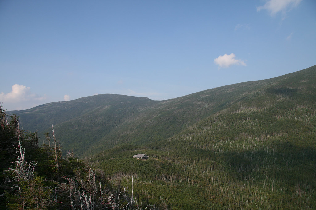 Garfield Ridge TrailHiking · ~7 min drivePhoto: timsackton, CC BY-SA 2.0 (via Flickr)
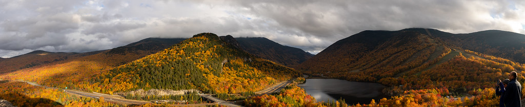 Notch-Way TrailHiking · ~7 min drivePhoto: Ktr101, CC BY-SA 2.0 (via Flickr)
- Gale RiverHiking · ~2 min drive
 Twin BrookHiking · ~8 min drivePhoto: Steve Shook from Moscow, Idaho, USA, CC BY 2.0 (via Wikimedia Commons)
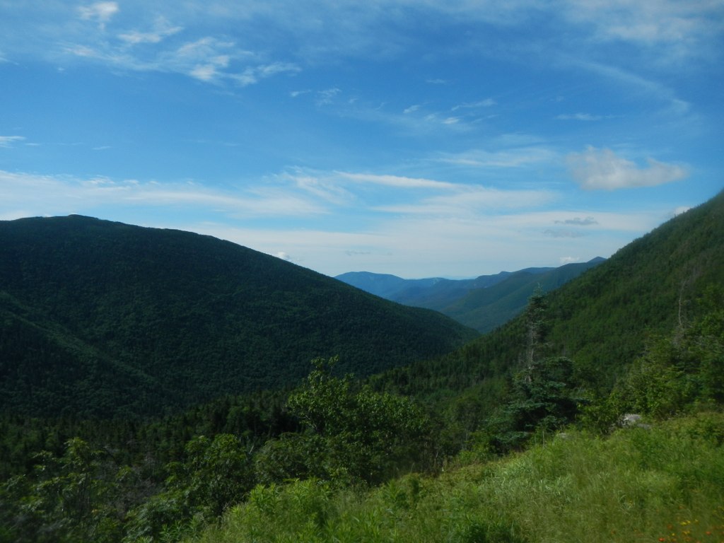 Frost TrailHiking · ~7 min drivePhoto: John Hayes (gravelboy), CC BY 2.0 (via Flickr)
- SkookumchuckHiking · ~5 min drive
 GreenleafHiking · ~8 min drivePhoto: Wesman83, CC BY-SA 3.0 (via Wikimedia Commons)
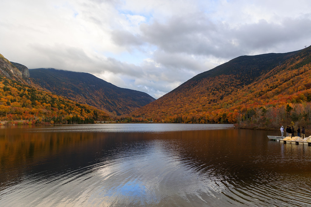 Loop TrailHiking · ~8 min drivePhoto: Ktr101, CC BY-SA 2.0 (via Flickr)
- Fire Warden's TrailHiking · ~8 min drive
 North TwinHiking · ~8 min drivePhoto: matt.a, CC BY 3.0 (via Wikimedia Commons)

