Camp Allen New Hampshire
Campground
Campground · 4.4 mi from the trail
Falls Loop is an easy hike of about 1.4 miles in the Currier Road Conservation Area in New Hampshire. It's a short outing with a gentle climb of 232 feet, and the route loops back on itself, so you can fit it in on a morning or afternoon without a long day on your feet. The trail starts at around 217 feet and rises to a high point of 265 feet before the total descent of 242 feet brings you back down. The steepest stretch comes at about 0.78 miles in, with a 6% grade. At under an hour, the trip is quick enough to pair with other short walks in the area. For the most comfortable weather, aim for late spring or early fall. Typical averages from a nearby weather station in Nashua run from highs around 70°F in May to 75°F in September. Winters are cold, with January highs near 34°F. Several other trails sit within a few tenths of a mile, including the North Loop Trail and the Power Line Trail. Roller Coaster Ridge is about 2 miles away, and Simond's Rock, a climbing area, is about 4 miles off.
Camp Allen New Hampshire
Campground
 If it rainsJohn Phelan, CC BY-SA 4.0 · Wikimedia Commons
Aviation Museum of New Hampshire
Museum
Places © OpenStreetMap contributors · Photos: John Phelan, CC BY-SA 4.0 (commons)
More in DerrySource: Roamze catalog (indexable pages within 10 miles, PostGIS distance)
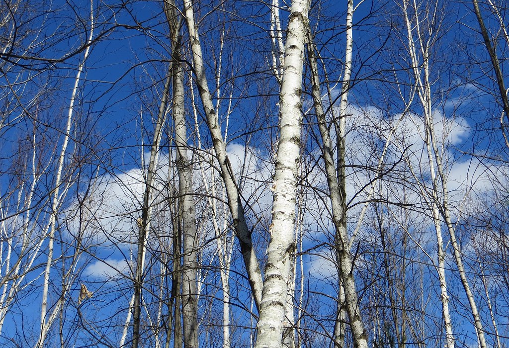 Mathes TrailHiking · ~7 min drivePhoto: Under the same moon..., CC BY 2.0 (via Flickr)
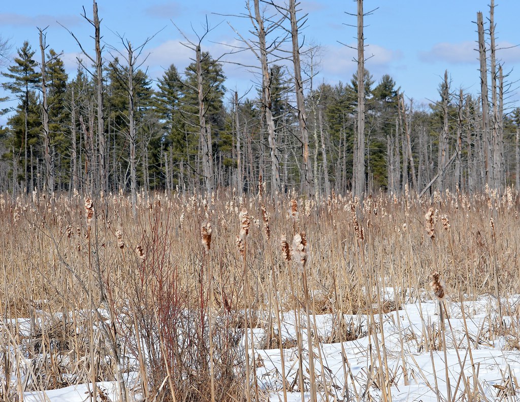 Blue TrailHiking · ~7 min drivePhoto: Under the same moon..., CC BY 2.0 (via Flickr)Betty Mack TrailHiking · ~8 min drivePhoto: Under the same moon..., CC BY 2.0 (via Flickr)Porcupine Ridge TrailHiking · ~8 min drivePhoto: Under the same moon..., CC BY 2.0 (via Flickr)
Best months: April–October. Best months have typical highs of 55–85 °F, lows of 30 °F or warmer (32 °F where the station doesn't record snow), at most one snowy day and no more than 12 wet days.
Jan
34° / 14°
9 wet
Feb
37° / 15°
8 wet
Mar
45° / 23°
9 wet
Apr
59° / 34°
11 wet
May
70° / 46°
12 wet
Jun
78° / 56°
11 wet
Jul
84° / 61°
10 wet
Aug
83° / 59°
9 wet
Sep
75° / 51°
9 wet
Oct
63° / 39°
11 wet
Nov
51° / 30°
10 wet
Dec
40° / 21°
10 wet
Typical high / low (°F) and days with rain or snow, 1991–2020. Measured at Nashua 2 Nnw, NH, 5.1 mi away at 135 ft. This station doesn't record snowfall. Source: NOAA NCEI U.S. Climate Normals 1991–2020.
Map and trail data © OpenStreetMap contributors
