Camp Allen New Hampshire
Campground
Campground · 6.3 mi from the trail
Roller Coaster Ridge is a short, easy out-and-back hike on city-managed land in New Hampshire, set within the Watkins Compound Condo Open Space. The route is about 0.68 miles long, with a total elevation gain of 102 feet, and it takes roughly half an hour to complete. The trail starts at an elevation of about 196 feet and reaches a high point of 232 feet before returning to the starting level. The steepest stretch comes early on, around 0.16 miles in, with a grade of about 5 percent. The climb is gentle and brief, making it an easy addition to a day spent exploring the surrounding area. For comfortable weather, late spring through early fall works best. Typical averages from a nearby weather station in Nashua show June highs around 78°F and September highs around 75°F, with July the warmest month at about 84°F. Several other trails sit close by. Junkyard Trail is about half a mile away, Willy's Trail about 0.6 miles, and Field Loop Trail about 0.8 miles. Climbers can find Simond's Rock roughly 2.2 miles off.
Camp Allen New Hampshire
Campground
 If it rainsJohn Phelan, CC BY-SA 4.0 · Wikimedia Commons
Aviation Museum of New Hampshire
Museum
Places © OpenStreetMap contributors · Photos: John Phelan, CC BY-SA 4.0 (commons)
More in DerrySource: Roamze catalog (indexable pages within 10 miles, PostGIS distance)
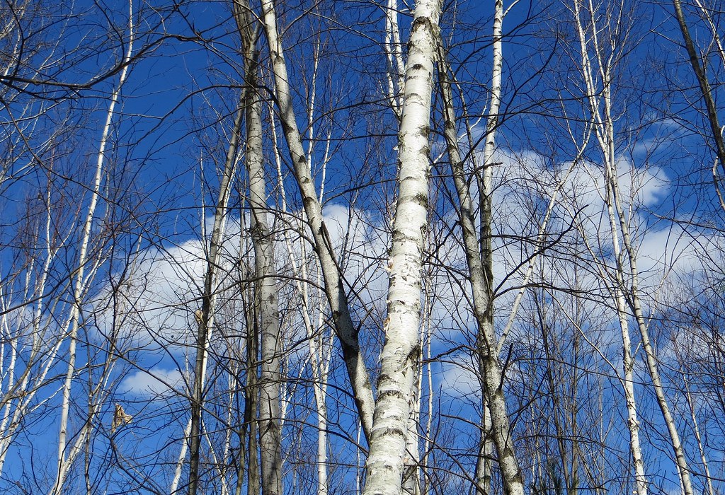 Mathes TrailHiking · ~9 min drivePhoto: Under the same moon..., CC BY 2.0 (via Flickr)
Best months: April–October. Best months have typical highs of 55–85 °F, lows of 30 °F or warmer (32 °F where the station doesn't record snow), at most one snowy day and no more than 12 wet days.
Jan
34° / 14°
9 wet
Feb
37° / 15°
8 wet
Mar
45° / 23°
9 wet
Apr
59° / 34°
11 wet
May
70° / 46°
12 wet
Jun
78° / 56°
11 wet
Jul
84° / 61°
10 wet
Aug
83° / 59°
9 wet
Sep
75° / 51°
9 wet
Oct
63° / 39°
11 wet
Nov
51° / 30°
10 wet
Dec
40° / 21°
10 wet
Typical high / low (°F) and days with rain or snow, 1991–2020. Measured at Nashua 2 Nnw, NH, 3.5 mi away at 135 ft. This station doesn't record snowfall. Source: NOAA NCEI U.S. Climate Normals 1991–2020.
Map and trail data © OpenStreetMap contributors
