Three Ponds Shelter
Campground
Campground · 1.4 mi from the trail
Closure in the area
There's a closure order in White Mountain National Forest. It doesn't name Carr Mtn, so check the source for the area it covers (2 listed).
Wild River Fire - Androscoggin Ranger District
Agency closure covering White Mountain National Forest · USFS · White Mountain National Forest
Rattlesnake Fire – Pemigewasset Ranger District
Agency closure covering White Mountain National Forest · USFS · White Mountain National Forest
Town Hall Road Camping and Fire Restrictions
Agency alert covering White Mountain National Forest · USFS · White Mountain National Forest
Lincoln Woods Trail Closure
Agency alert covering White Mountain National Forest · USFS · White Mountain National Forest
Forest Roads Status
Agency alert covering White Mountain National Forest · USFS · White Mountain National Forest
As of · Source: USFS · White Mountain National Forest. Agencies don't list every closure — check before you go.
Carr Mtn is a hard hike in the Pemigewasset Ranger District of White Mountain National Forest in New Hampshire, managed by the Forest Service. The route is an out-and-back of about 8.5 miles, with a total elevation gain of about 4,069 feet. The climb is rolling, and the steepest stretch comes at about 3.3 miles, where the grade reaches 31 percent. The high point is 3,428 feet, and the trail starts at about 1,547 feet. The trail is open year-round, and the trip is estimated to take about five hours. Bikes are allowed, and the surface is natural. Mt Kineo sits just 0.3 miles away, and the Three Ponds Trail and Three Ponds Shelter are both within about 1.4 miles. Climbers can find the Pink Flag Trail and Gem Hunter about 3.2 miles off.
Three Ponds Shelter
Campground
Calamity Jane's
Restaurant
 If it rainsKen Gallager, CC BY-SA 4.0 · Wikimedia Commons
Places © OpenStreetMap contributors · Photos: Ken Gallager, CC BY-SA 4.0 (commons)
More in BradfordSource: Roamze catalog (indexable pages within 10 miles, PostGIS distance)
 Weasel TrailHiking · ~10 min drivePhoto: USDA Forest Service, Northern Research Station, Public Domain Mark (via Flickr)
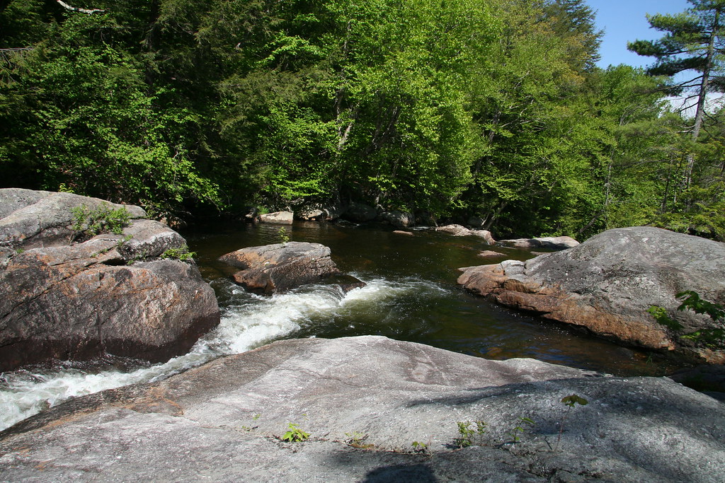 MILLERS TRAILHiking · ~10 min drivePhoto: spi516, CC BY-SA 2.0 (via Flickr)
 Carriage RoadHiking · ~15 min drivePhoto: jbylund, CC BY-SA 2.0 (via Flickr)
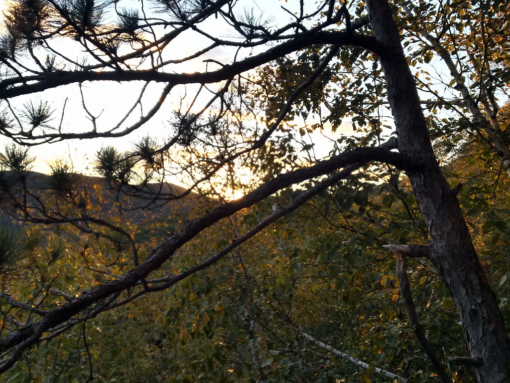 Rattlesnake MtnHiking · ~10 min drivePhoto: just6979, CC BY-SA 2.0 (via Flickr)
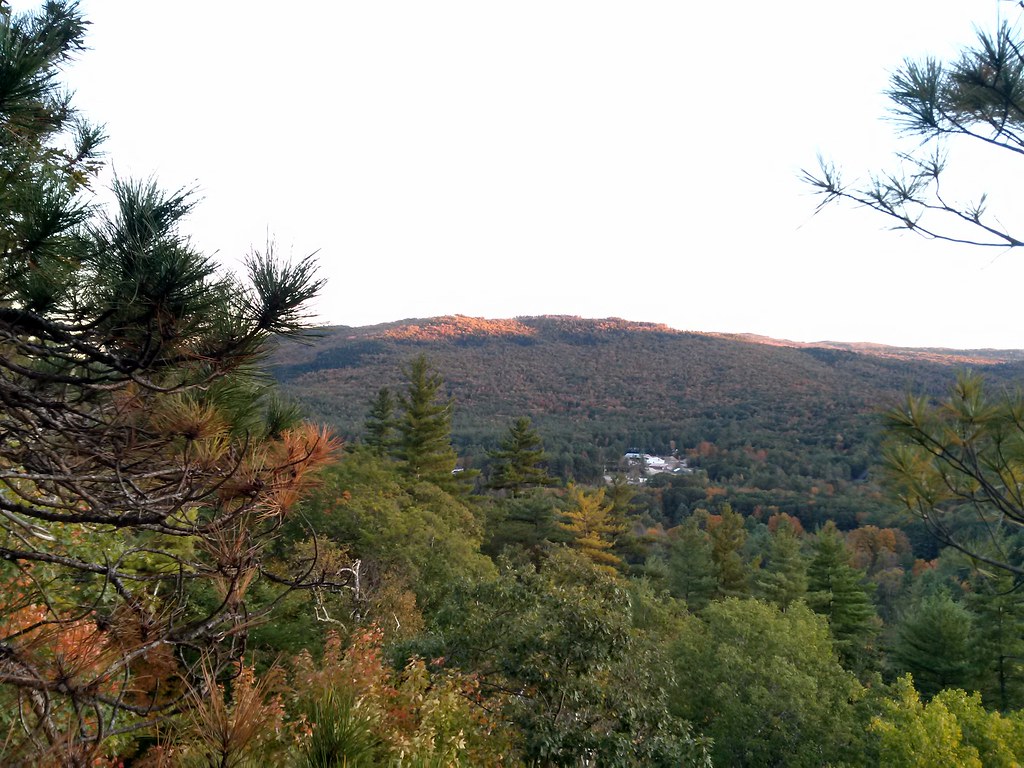 Final Frontier TrailHiking · ~11 min drivePhoto: just6979, CC BY-SA 2.0 (via Flickr)
 Glover Brook TrailHiking · ~15 min drivePhoto: Cliff from Arlington, Virginia, USA, CC BY 2.0 (via Wikimedia Commons)
