Neal's Cove Camping Area
Campground
Campground · 2.2 mi from the trail
Bog Loop is a short, easy hike in New Hampshire, about 1.8 miles from the town of Raymond. The trail is 0.74 miles long, with a total elevation gain of 116 feet and a total loss of 130 feet, so it's a low-key outing that works well as a quick stop or a warm-up before exploring more of the area. The route starts at an elevation of 322 feet and reaches a high point of 374 feet before descending slightly. The steepest stretch comes at about 0.64 miles in, with a grade of 8 percent. The climb is gentle overall, and the trip takes about half an hour. Summer is the most comfortable time to go. Typical averages from a nearby weather station in Epping show July highs around 82°F with lows near 59°F, while September cools to highs in the low 70s. Several other short loops sit close by, including Beaver Pond Loop and Hill Loop, each about 0.3 miles away, and Fish Pong Loop at 0.4 miles. For climbing, The Fire Tower is about 2.8 miles off.
Neal's Cove Camping Area
Campground
Louies Pizza & Italian Grille
Pizza restaurant
 If it rainsDebraHardy, CC BY-SA 3.0 · Wikimedia Commons
Folsom Tavern
Museum
Places © OpenStreetMap contributors, Places © Overture Maps Foundation · Photos: DebraHardy, CC BY-SA 3.0 (commons)
More in Derry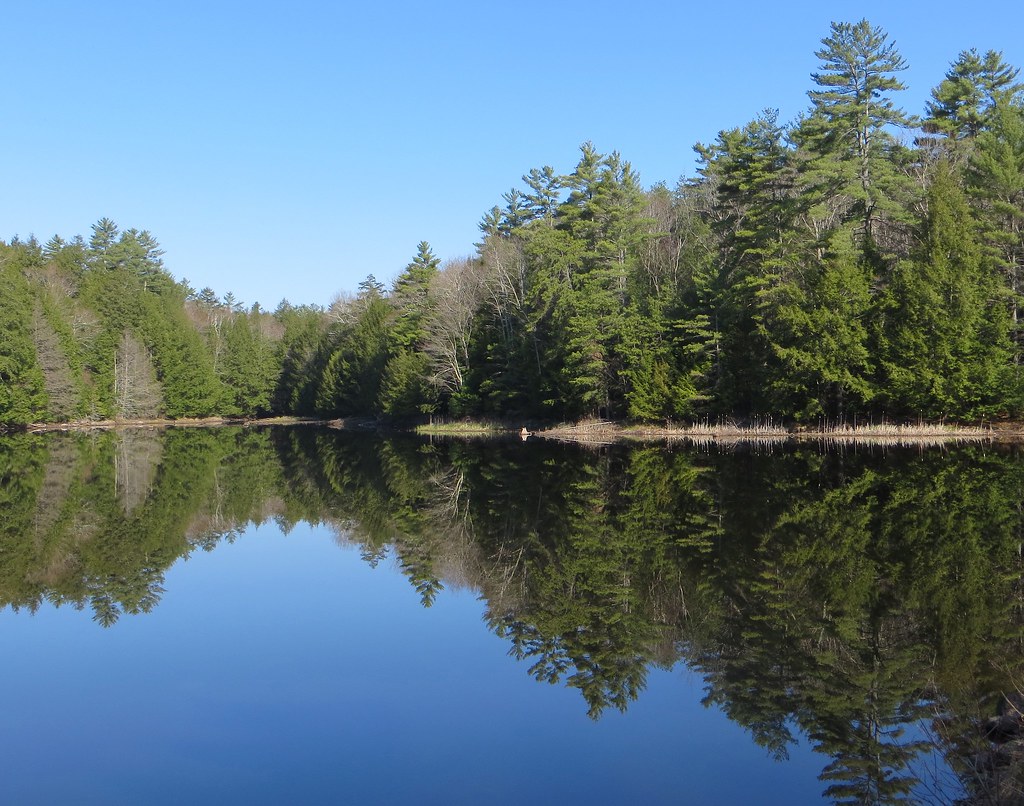 Mountain TrailHikingPhoto: Under the same moon..., CC BY 2.0 (via Flickr)1.7 mi
Source: Roamze catalog (indexable pages within 10 miles, PostGIS distance)
Mountain TrailHiking · ~3 min drivePhoto: Under the same moon..., CC BY 2.0 (via Flickr) Split Rock TrailHiking · ~4 min drivePhoto: rickpilot_2000, CC BY 2.0 (via Flickr)Round Pond TrailHiking · ~3 min drivePhoto: Under the same moon..., CC BY 2.0 (via Flickr)Fundy TrailHiking · ~4 min drivePhoto: rickpilot_2000, CC BY 2.0 (via Flickr)Woronoco TrailHiking · ~4 min drivePhoto: rickpilot_2000, CC BY 2.0 (via Flickr)
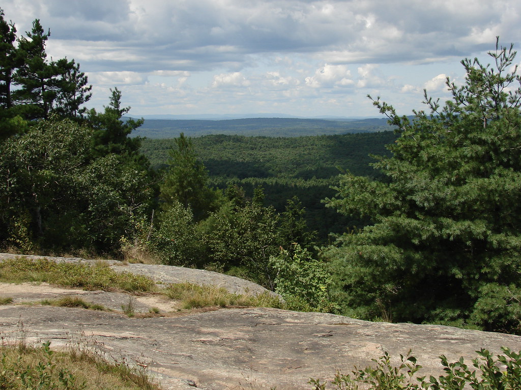 North Mountain TrailHiking · ~4 min drivePhoto: codymcarlson, CC BY-SA 2.0 (via Flickr)
 South Ridge TrailHiking · ~5 min drivePhoto: codymcarlson, CC BY-SA 2.0 (via Flickr)Tower TrailHiking · ~5 min drivePhoto: codymcarlson, CC BY-SA 2.0 (via Flickr)Middle Mountain TrailHiking · ~5 min drivePhoto: codymcarlson, CC BY-SA 2.0 (via Flickr)
Best months: April–October. Best months have typical highs of 55–85 °F, lows of 30 °F or warmer (32 °F where the station doesn't record snow), at most one snowy day and no more than 12 wet days.
Jan
33° / 14°
10 wet
Feb
35° / 16°
8 wet
Mar
44° / 24°
10 wet
Apr
57° / 34°
11 wet
May
68° / 44°
11 wet
Jun
76° / 54°
11 wet
Jul
82° / 59°
11 wet
Aug
81° / 57°
9 wet
Sep
73° / 50°
9 wet
Oct
61° / 38°
10 wet
Nov
49° / 30°
10 wet
Dec
38° / 21°
11 wet
Typical high / low (°F) and days with rain or snow, 1991–2020. Measured at Epping, NH, 5.7 mi away at 160 ft. This station doesn't record snowfall. Source: NOAA NCEI U.S. Climate Normals 1991–2020.
Map and trail data © OpenStreetMap contributors
