Aspinwall Ridge
- 3.1 mi
- round trip
- 1,549 ft
- climb
- 1,350 ft
- high point
- Out and back
- route
- Apr
- best months
Aspinwall Ridge is a moderate out-and-back hike in New Hampshire, about 3 miles from the town of East Plainfield. The route is roughly 6 miles long, with a total elevation gain of about 1,550 feet, and it reaches a high point of 1,350 feet. The climb is steepest around the 2.7-mile mark, where the grade reaches about 17 percent. The most comfortable months for a visit are typically late spring through early fall. Typical averages from a nearby weather station in Lebanon run from highs around 70°F in May to about 73°F in September, with July the warmest at about 83°F. That station sits well below the ridge, so temperatures on the higher ground run cooler. The hike takes about 3 hours to complete. The Ron Bailey trail lies about 1.4 miles away, and the Coach Al Merrill Trail and Lizzie Elliot Loop Trail are both within about 3 miles. For an overnight stay, North Hartland Lake Beach in Vermont is about 4.5 miles off.
- Ron BaileyHiking1.4 mi
- Coach Al Merrill TrailHiking2.4 mi
- Lizzie Elliot Loop TrailHiking3 mi
- Harvest Hill Loop TralHiking3 mi
- Colby Hill TrailHiking3.1 mi
- North Hartland Lake Beach (vt)Camping4.5 mi
 Mink BrookCanoeingPhoto: Ken Gallager at en.wikipedia, CC BY-SA 3.0 (via Wikimedia Commons)6.9 mi
- Velvet Rocks ShelterCamping7.2 mi
Source: Roamze catalog (indexable pages within 10 miles, PostGIS distance)
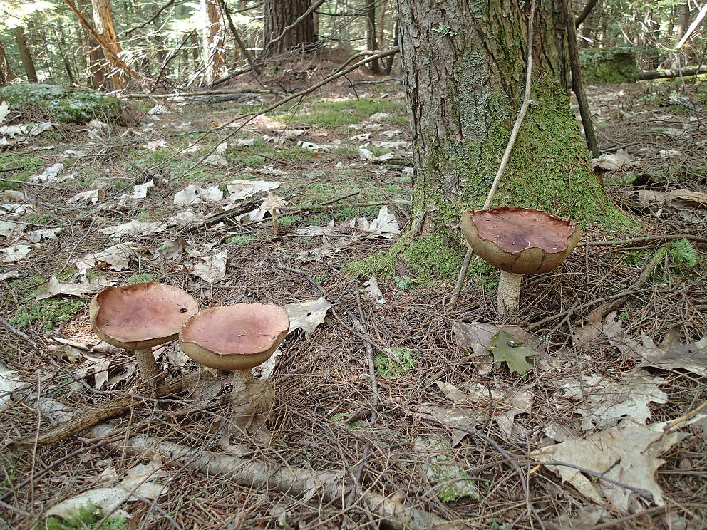 PathfinderHiking · ~8 min drivePhoto: Northfoot Adventures, CC BY 2.0 (via Flickr)
- Secret TrailHiking · ~6 min drive
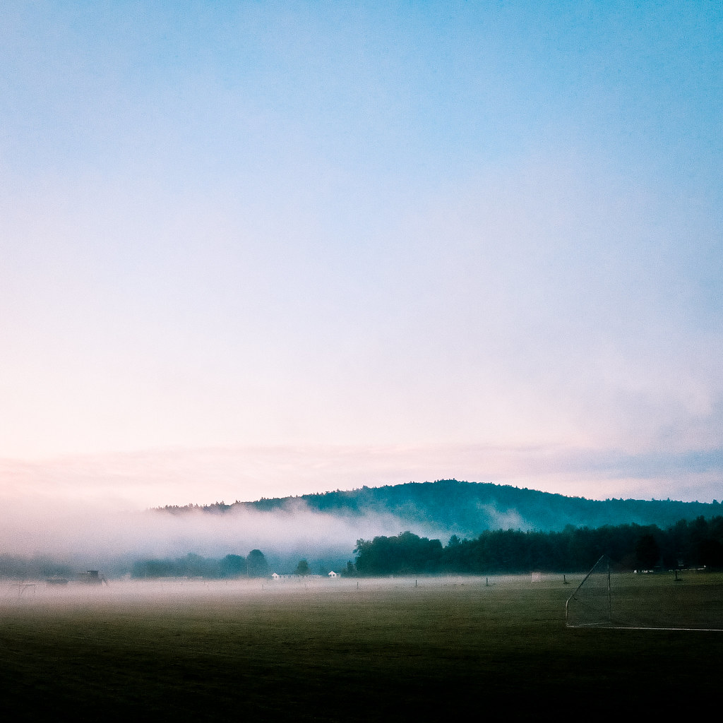 Indian RidgeHiking · ~9 min drivePhoto: Kan W., CC BY 2.0 (via Flickr)
- Frenchs Ledges TrailHiking · ~7 min drive
- Ron BaileyHiking · ~2 min drive
- Coach Al Merrill TrailHiking · ~4 min drive
- Lizzie Elliot Loop TrailHiking · ~5 min drive
- Harvest Hill Loop TralHiking · ~5 min drive
- Colby Hill TrailHiking · ~5 min drive
- Woodlands Loop TrailHiking · ~5 min drive
Best time to visit Aspinwall Ridge
Best months: April. Best months have typical highs of 55–85 °F, lows of 30 °F or warmer (32 °F where the station doesn't record snow), at most one snowy day and no more than 12 wet days.
Jan
30° / 9°
11 wet
Feb
34° / 11°
10 wet
Mar
43° / 21°
11 wet
Apr
57° / 32°
12 wet
May
70° / 44°
14 wet
Jun
78° / 52°
14 wet
Jul
83° / 58°
15 wet
Aug
81° / 56°
14 wet
Sep
73° / 49°
13 wet
Oct
60° / 37°
13 wet
Nov
47° / 28°
12 wet
Dec
35° / 18°
12 wet
Typical high / low (°F) and days with rain or snow, 1991–2020. Measured at Lebanon Muni Ap, NH, 2.3 mi away at 598 ft. The station sits about 800 ft lower than this place, so expect it a little cooler here. This station doesn't record snowfall. Source: NOAA NCEI U.S. Climate Normals 1991–2020.
Map and trail data © OpenStreetMap contributors
