Nevada · Summit
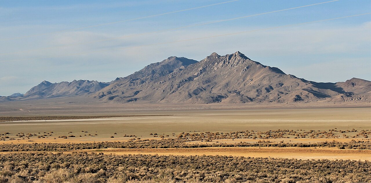
Luxor Peak
 Photo: Patrick Nouhailler, CC BY-SA 2.0 (via Wikimedia Commons)
- 7,412 ft
- summit
- Bureau of Land Management
- managed by
Loading this week's forecast
Luxor Peak is a summit in Pershing County, Nevada, at about 7,412 feet.
Conditions and forecast
Daily highs and lows, wind and the chance of precipitation at the summit for the next 7 days, from the Open-Meteo model.
- Summit elevation
- 7,412 ft
- Land manager
- Bureau of Land Management
Elevation from USGS 3D Elevation Program terrain data (about 10 m resolution).
We don't know of a mapped trail or route to the summit of Luxor Peak. Plan the approach with local maps, a guidebook or a local guide, and check conditions before you go.
Questions about Luxor Peak
How tall is Luxor Peak?
7,412 ft (2,259 m).
Is there a trail to the top of Luxor Peak?
We don't know of a mapped trail or route to the summit. Plan the approach with local maps, a guidebook or a local guide.
- Steamboat Mountain4,269 ft · Nevada1 route25 mi away
- Canoe Hill5,354 ft · Nevada2 routes66 mi away
- Babbitt Peak8,757 ft · California1 route75 mi away
 Mount Rose10,773 ft · Nevada1 route86 mi awayPhoto: Mr. Richard from Fair Oaks, USA, CC BY 2.0 (via Wikimedia Commons)
- Mount Houghton10,484 ft · Nevada1 route87 mi away
- Winnemucca Mountain6,756 ft · Nevada2 routes87 mi away
Source: Roamze catalog (indexable pages within 10 miles, PostGIS distance)
 Kumiva PeakSummit · ~10 min drivePhoto: Patrick Nouhailler, CC BY-SA 2.0 (via Wikimedia Commons)
 Selenite PeakSummit · ~14 min drivePhoto: Patrick Nouhailler's…, CC BY-SA 3.0 (via Wikimedia Commons)
 Mount LimboSummit · ~18 min drivePhoto: Patrick Nouhailler, CC BY-SA 2.0 (via Wikimedia Commons)
 Old Razorback MountainSummit · ~33 min drivePhoto: BLM Nevada, CC BY 2.0 (via Wikimedia Commons)
- Steamboat MountainSummit · ~43 min drive
