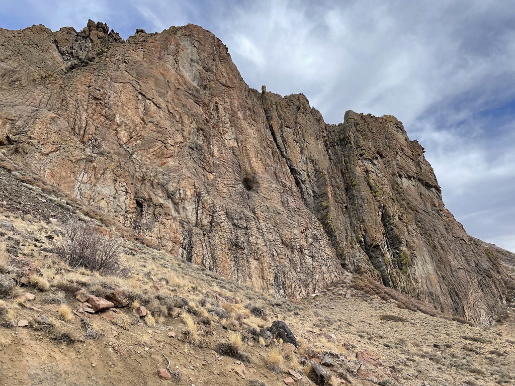
South Fork Little Humboldt River
- 33.8 mi
- distance
- 6,406 ft
- high point
- May–Oct
- best months
The South Fork Little Humboldt River is a 34-mile paddling stretch in Tuscarora, Nevada, on land managed by the Bureau of Land Management's Tuscarora Field Office. It's a long, low-gradient run, averaging about 51.8 feet of drop per mile, with typical flows of around 69 cubic feet per second, according to USGS models. The river is intermittent, and it may run dry in some seasons. Summer is the warmest stretch, with typical July highs around 85°F and lows near 53°F at the Tuscarora weather station, about 39 miles away. June and September are milder, with highs in the mid-70s. Winters are cold, with January highs averaging around 37°F. For more paddling in the area, Milligan Creek lies about 9 miles away.
Source: Roamze catalog (indexable pages within 10 miles, PostGIS distance)
- Milligan CreekCanoeing · ~16 min drive
- Kelly CreekCanoeing · ~37 min drive
- North Fork Little Humboldt RiverCanoeing · ~41 min drive
- Little Humboldt RiverCanoeing · ~46 min drive
- Martin CreekCanoeing · ~47 min drive
- Big Cottonwood CreekCanoeing · ~54 min drive
- Little Owyhee RiverCanoeing · ~58 min drive
- Rock CreekCanoeing · ~58 min drive
- South Fork Owyhee RiverCanoeing · ~59 min drive
- Pioneer SloughCanoeing · ~1h 14m drive
Best time to visit South Fork Little Humboldt River
Best months: May–October. Best months have typical highs of 55–85 °F, lows of 30 °F or warmer (32 °F where the station doesn't record snow), at most one snowy day and no more than 12 wet days.
Jan
37° / 20°
Feb
39° / 21°
Mar
47° / 27°
Apr
53° / 31°
May
63° / 37°
Jun
74° / 44°
Jul
85° / 53°
Aug
84° / 52°
Sep
75° / 44°
Oct
61° / 34°
Nov
46° / 26°
Dec
37° / 19°
Typical high / low (°F) and days with rain or snow, 1991–2020. Measured at Tuscarora, NV, 38.9 mi away at 6,170 ft. This station doesn't record snowfall. Source: NOAA NCEI U.S. Climate Normals 1991–2020.