Joe Billy Basin
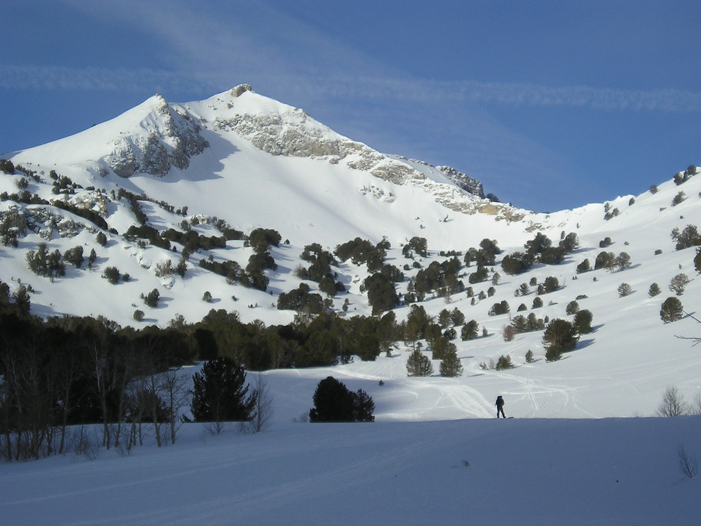
 Photo: Famartin, CC BY-SA 3.0 (via Wikimedia Commons)
- 1.0 mi
- distance
- 515 ft
- climb
Is Joe Billy Basin open right now?
Closure in the area
There's a closure order in Humboldt-Toiyabe National Forest. It doesn't name Joe Billy Basin, so check the source for the area it covers.
Elephant Fire Closure
Agency closure covering Humboldt-Toiyabe National Forest · Order 04-17-26-01-04 · USFS · Humboldt-Toiyabe National Forest
Road Closure for Construction Work (Mountain City-Ruby Mountains-Jarbidge Ranger Districts)
Agency alert covering Mountain City-Ruby Mountains-Jarbidge Ranger District · Order 04-17-26-06-04 · USFS · Mountain City-Ruby Mountains-Jarbidge Ranger District
Area, Road, and Trail Closures (Spring Mountains National Recreation Area)
Agency alert covering Humboldt-Toiyabe National Forest · Order 04-17-25-04 · USFS · Humboldt-Toiyabe National Forest
Year-Round Fire Restrictions (Spring Mountains National Recreation Area)
Agency alert covering Humboldt-Toiyabe National Forest · Order 04-17-24-01 · USFS · Humboldt-Toiyabe National Forest
Vehicle Snow Chain Requirements during Inclement Weather (Spring Mountains National Recreation Area)
Agency alert covering Humboldt-Toiyabe National Forest · Order 04-17-23-01 · USFS · Humboldt-Toiyabe National Forest
As of · Source: USFS · Humboldt-Toiyabe National Forest. Agencies don't list every closure — check before you go.
Joe Billy Basin is a mountain biking route in Nevada's Humboldt-Toiyabe National Forest, within the Mountain City-Ruby Mountains-Jarbidge Ranger District. The Forest Service manages the land, and the route is about a mile long, with a total elevation gain of 515 feet from a low point of 7,609 feet to a high of 8,146 feet. The climb is steepest at about half a mile in, where the grade reaches 17 percent. The route also has a total descent of 631 feet, so riders should expect some downhills as well as the climb. Joe Billy North Campsite is about 0.6 miles away, and Conrad Creek is about 0.8 miles away. Joe Billy South Campsite is about 1.2 miles away. Thomas Canyon Campground, about 4.6 miles off, offers more camping in the area.
Keep exploring — more rides worth the drive
Photo: Famartin, CC BY-SA 3.0 (via Wikimedia Commons)Joe Billy North Campsite
~1 min drive
0.79-mile trail in Old Man of the Mountain trail system, Nevada.
 Photo: Scott Thompson, CC BY 3.0 (via Wikimedia Commons)
Krenka North
~15 min drive
0.45-mile trail at Soldier Peak with 428 ft of elevation gain.
Photo: Scott Thompson, CC BY 3.0 (via Wikimedia Commons)Lamoille-Gardner Creek TH
~16 min drive
1.83-mile trail at Soldier Peak with 650 ft elevation gain
Photo: Scott Thompson, CC BY 3.0 (via Wikimedia Commons)Gardner Creek Loop
~16 min drive
1.06-mile loop at Soldier Peak with 217 ft gain
RIDE
Joe Billy South Campsite
~2 min drive
0.46-mile trail in Old Man of the Mountain trail system, 209 ft elevation gain.
RIDE
Conrad Creek
~5 min drive
1.77-mile trail in Nevada with 294 ft elevation gain
RIDE
Middle Fork Cold Creek
~5 min drive
1.50-mile trail in Nevada's Old Man of the Mountain system with 1006 ft of elevation gain.
RIDE
South Fork Cold Creek
~5 min drive
2.50-mile trail in Old Man of the Mountain trail system, Nevada
RIDE
Griswold-Soldier
~6 min drive
0.41-mile trail with 418 ft elevation gain at Old Man of the Mountain
RIDE
Robinson Lake
~7 min drive
0.37-mile trail at Old Man of the Mountain with 168 ft gain

Map and trail data © OpenStreetMap contributors
