East Leg (Moderate)
- 1.3 mi
- round trip
- 642 ft
- climb
- Mixed
- surface
- Out and back
- route
- Oct–Apr
- best months
East Leg (Moderate) is a mountain biking route in Nevada, about 1.8 miles from Boulder City. It is a short, out-and-back ride of roughly 2.6 miles, with a total elevation gain of about 642 feet. The climb reaches a high point of 3,167 feet, and the steepest stretch comes at about 1.1 miles in, with a grade of around 12 percent. Spring and fall are the most comfortable times to ride. Typical averages from a nearby weather station show April highs around 81°F and October highs around 84°F, while July averages climb to about 107°F. That station sits well below the route, so temperatures on the climb run cooler. Several other rides start close by. Upper Lake View and Lower Lake View are each about 0.1 mile away, and the Jump Line is also about 0.1 mile off. For climbing, Boy Scout Canyon is about 5.3 miles away.
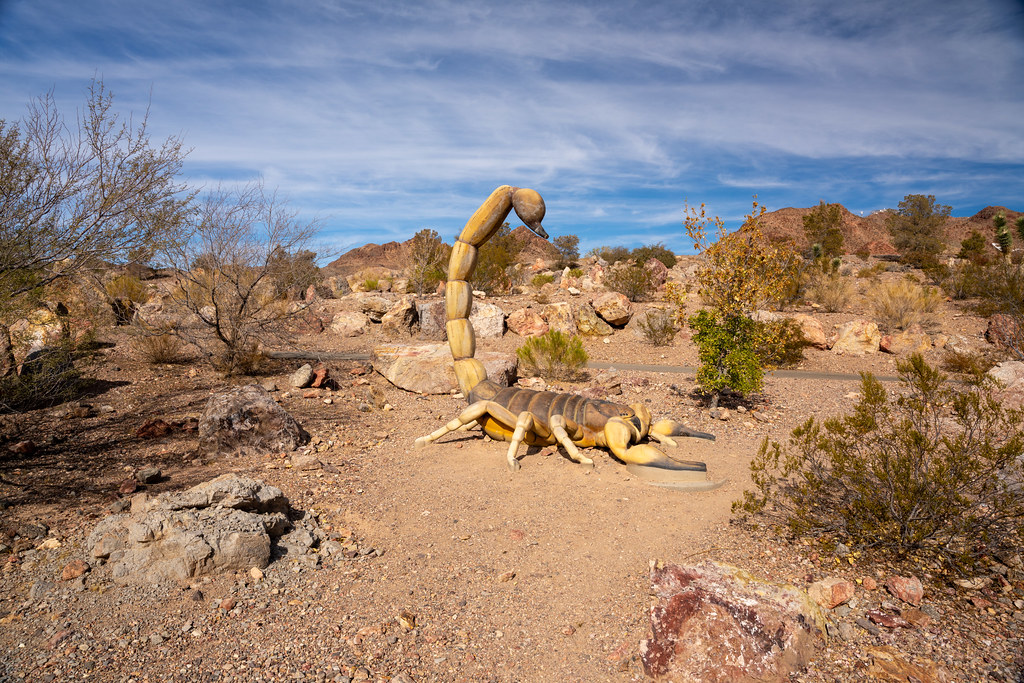 Upper Lake ViewHikingPhoto: Joe K Gage, CC BY-SA 2.0 (via Flickr)0.1 mi
- Lower Lake ViewMountain biking0.1 mi
- Jump LineMountain biking0.1 mi
- Dual SlalomMountain biking0.3 mi
- Boy Scout CanyonRock climbing5.3 mi
- Blade BoulderRock climbing5.3 mi
- Pig RockRock climbing5.3 mi
- Upper Pig RockRock climbing5.4 mi
Source: Roamze catalog (indexable pages within 10 miles, PostGIS distance)
Best time to visit East Leg (Moderate)
Best months: October–April. Best months have typical highs of 55–85 °F, lows of 30 °F or warmer (32 °F where the station doesn't record snow), at most one snowy day and no more than 12 wet days.
Jan
60° / 41°
Feb
64° / 45°
Mar
73° / 52°
Apr
81° / 59°
May
91° / 66°
Jun
103° / 77°
Jul
107° / 84°
Aug
105° / 82°
Sep
98° / 73°
Oct
84° / 59°
Nov
69° / 50°
Dec
60° / 39°
Typical high / low (°F) and days with rain or snow, 1991–2020. Measured at Alan Bible Visitor Ctr, NV, 4.1 mi away at 1,641 ft. The station sits about 1,500 ft lower than this place, so expect it a little cooler here. This station doesn't record snowfall. Source: NOAA NCEI U.S. Climate Normals 1991–2020.
Map and trail data © OpenStreetMap contributors
