Shoshone Trail
- 11.1 mi
- round trip
- 3,513 ft
- climb
- 6,538 ft
- high point
- Out and back
- route
The Shoshone Trail is an out-and-back hike of about 22 miles that climbs from roughly 4,957 feet to about 6,538 feet, with a total elevation gain of about 3,513 feet. The route begins at a base of about 4,957 feet, and the steepest stretch comes around the 2.8-mile mark, where the grade reaches about 26%. The trip is rated expert, and it takes about nine hours. The trail lies within the Nevada Test Site, managed by the Department of Energy. The low point on the route is about 4,800 feet, and the high point is about 6,538 feet. Because the trail is an out-and-back, the climb is repeated on the way back. The Nevada Test Site makes this an unusual destination, so plan for the remoteness and the time it will take to complete the full route.
 Crystal Springs BoardwalkHiking · ~1h 2m drivePhoto: cm195902, CC BY 2.0 (via Flickr)
 Chloride Cliff TrailHiking · ~1h 7m drivePhoto: GSEC, CC BY 2.0 (via Flickr)
 Keane Wonder (Big Bell) extensionHiking · ~1h 9m drivePhoto: GSEC, CC BY 2.0 (via Flickr)
 Titanothere CanyonHiking · ~1h 14m drivePhoto: RuggyBearLA, CC BY 2.0 (via Flickr)
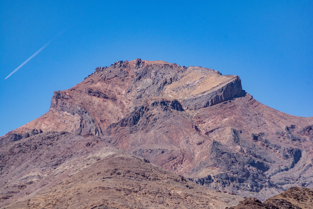 Lower Monarch Canyon TrailHiking · ~1h 14m drivePhoto: RuggyBearLA, CC BY 2.0 (via Flickr)
 Upper Monarch Canyon TrailHiking · ~1h 8m drivePhoto: GSEC, CC BY 2.0 (via Flickr)
 Corkscrew Peak TrailHiking · ~1h 12m drivePhoto: Greg Willis from Denver, CO, usa, CC BY-SA 2.0 (via Wikimedia Commons)
 Indian PassHiking · ~1h 17m drivePhoto: Ken Lund, CC BY-SA 2.0 (via Flickr)
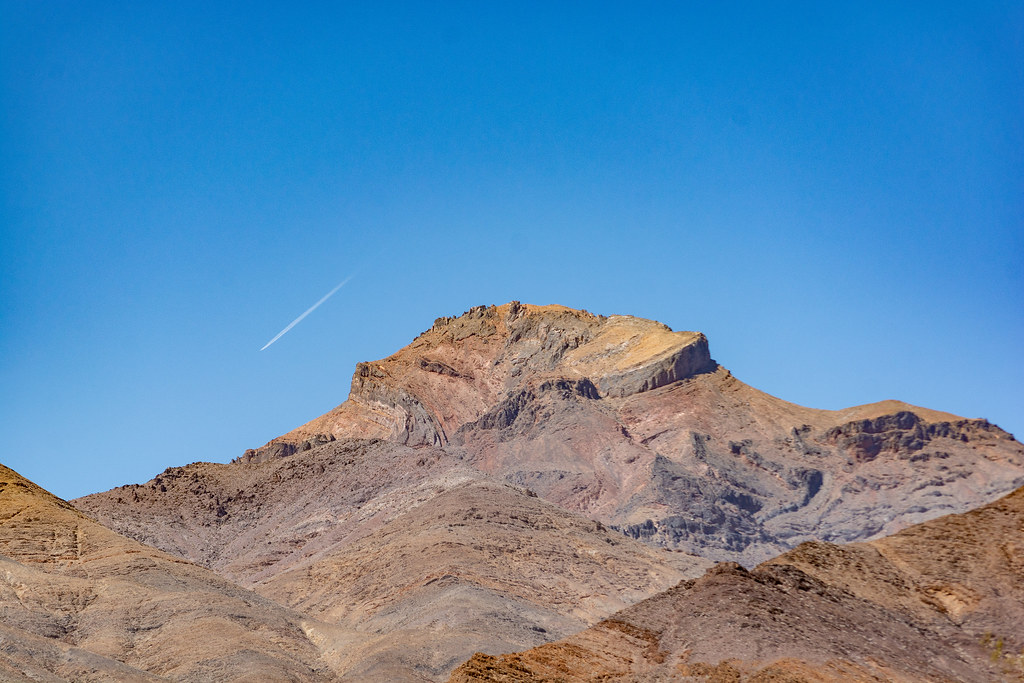 Death Valley ButtesHiking · ~1h 14m drivePhoto: RuggyBearLA, CC BY 2.0 (via Flickr)
 Keane Wonder Mine TrailHiking · ~1h 9m drivePhoto: GSEC, CC BY 2.0 (via Flickr)


Map and trail data © OpenStreetMap contributors
