Corkscrew Peak Trail
 Photo: Greg Willis from Denver, CO, usa, CC BY-SA 2.0 (via Wikimedia Commons)
- 3.6 mi
- round trip
- 3,416 ft
- climb
- 5,717 ft
- high point
- Out and back
- route
Is Corkscrew Peak Trail open right now?
No closures listed
The National Park Service lists no closures for Death Valley National Park.
As of · Source: NPS · Death Valley National Park. Agencies don't list every closure — check before you go.
Corkscrew Peak Trail is a 7.1-mile out-and-back hike in Death Valley National Park in California, managed by the National Park Service. The route rises from about 2,700 feet to a high point of 5,717 feet, with a total elevation gain of 3,416 feet over the course of the trip. Because the trail is an out-and-back, that climb is matched by the same amount of descent on the way down. The climb is hard, and the trail is built around a single, demanding stretch. The steepest part comes around mile 3.2, where the grade reaches about 45 percent. Plan on about four hours for the round trip. The trail starts at a lower elevation of roughly 2,700 feet and reaches the top at about 5,700. That makes the middle of the hike the peak of the climb. The Monarch Canyon area sits close by, with Lower Monarch Canyon Trail about 1.7 miles away and Upper Monarch Canyon Trail about 2.9 miles off. Thimble Peak Trail and Keane Wonder Mine Trail are also within about 5 to 7 miles.
Conditions and forecast on Corkscrew Peak
Daily highs and lows, wind and the chance of precipitation at the summit and route start for the next 7 days, from the Open-Meteo model.
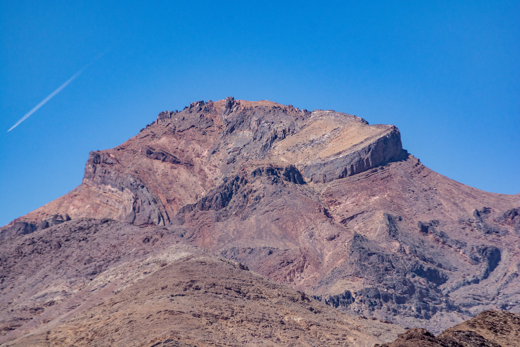 Lower Monarch Canyon TrailHikingPhoto: RuggyBearLA, CC BY 2.0 (via Flickr)1.7 mi
 Upper Monarch Canyon TrailHikingPhoto: GSEC, CC BY 2.0 (via Flickr)2.9 mi
 Keane Wonder Mine TrailHikingPhoto: GSEC, CC BY 2.0 (via Flickr)5.4 mi
 Thimble Peak TrailHikingPhoto: GSEC, CC BY 2.0 (via Flickr)7.2 mi
 Kit Fox Hills TrailHikingPhoto: GSEC, CC BY 2.0 (via Flickr)7.6 mi
Source: Roamze catalog (indexable pages within 10 miles, PostGIS distance)
- Lower Monarch Canyon TrailHiking · ~3 min drivePhoto: RuggyBearLA, CC BY 2.0 (via Flickr)
- Upper Monarch Canyon TrailHiking · ~5 min drivePhoto: GSEC, CC BY 2.0 (via Flickr)
 Keane Wonder (Big Bell) extensionHiking · ~9 min drivePhoto: GSEC, CC BY 2.0 (via Flickr)
 Titanothere CanyonHiking · ~10 min drivePhoto: RuggyBearLA, CC BY 2.0 (via Flickr)
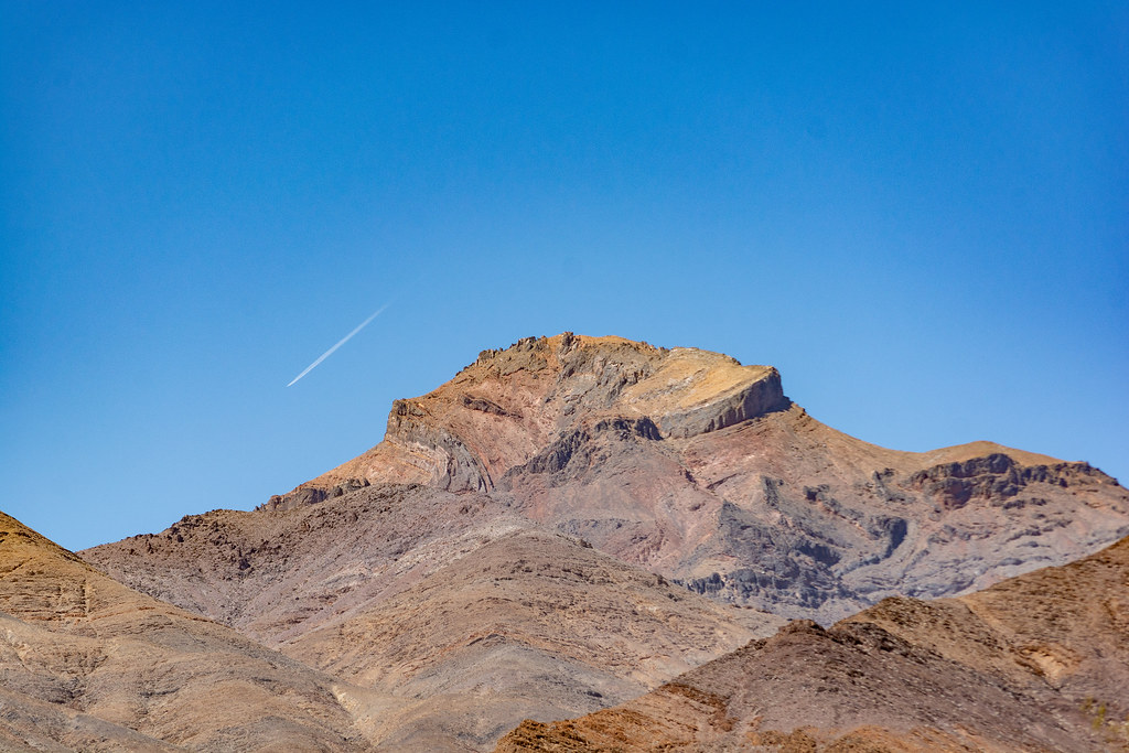 Death Valley ButtesHiking · ~3 min drivePhoto: RuggyBearLA, CC BY 2.0 (via Flickr)
- Keane Wonder Mine TrailHiking · ~9 min drivePhoto: GSEC, CC BY 2.0 (via Flickr)
- Kit Fox Hills TrailHiking · ~13 min drivePhoto: GSEC, CC BY 2.0 (via Flickr)
 Indian PassHiking · ~24 min drivePhoto: Ken Lund, CC BY-SA 2.0 (via Flickr)
 Salt Creek Interpretive Trail BoardwalkHiking · ~18 min drivePhoto: Miguel Discart & Kiri Karma (Photos Vrac), CC BY-SA 2.0 (via Flickr)
 Chloride Cliff TrailHiking · ~10 min drivePhoto: GSEC, CC BY 2.0 (via Flickr)


Route details
- Distance
- 3.6 mi round trip
- Climbing
- About 3,416 ft
- Summit
- 5,793 ft
- Difficulty
- Hard
- Time
- About 3 hours
Questions about this route
How long is the Corkscrew Peak Trail on Corkscrew Peak?
About 3.6 mi round trip.
How much elevation gain is on the Corkscrew Peak Trail?
About 3,416 ft of climbing round trip.
How hard is the Corkscrew Peak Trail?
It is rated hard.
How long does the Corkscrew Peak Trail take?
About 3 hours round trip.
Map and trail data © OpenStreetMap contributors
