North Fork Berry Creek
- 3.7 mi
- round trip
- 1,037 ft
- climb
- 9,744 ft
- high point
- Out and back
- route
Is North Fork Berry Creek open right now?
Closure in the area
There's a closure order in Ely Ranger District. It doesn't name North Fork Berry Creek, so check the source for the area it covers (2 listed).
Ward Fire Closure (Ely Ranger District)
Agency closure covering Ely Ranger District · Order 04-17-26-09-02 · USFS · Ely Ranger District
Elephant Fire Closure
Agency closure covering Humboldt-Toiyabe National Forest · Order 04-17-26-01-04 · USFS · Humboldt-Toiyabe National Forest
Area, Road, and Trail Closures (Spring Mountains National Recreation Area)
Agency alert covering Humboldt-Toiyabe National Forest · Order 04-17-25-04 · USFS · Humboldt-Toiyabe National Forest
Year-Round Fire Restrictions (Spring Mountains National Recreation Area)
Agency alert covering Humboldt-Toiyabe National Forest · Order 04-17-24-01 · USFS · Humboldt-Toiyabe National Forest
Vehicle Snow Chain Requirements during Inclement Weather (Spring Mountains National Recreation Area)
Agency alert covering Humboldt-Toiyabe National Forest · Order 04-17-23-01 · USFS · Humboldt-Toiyabe National Forest
As of · Source: USFS · Ely Ranger District. Agencies don't list every closure — check before you go.
North Fork Berry Creek is a moderate, out-and-back hike in Nevada's Humboldt-Toiyabe National Forest, within the Ely Ranger District. The trail stretches about 3.7 miles with a total elevation gain of 1,037 feet, rising from roughly 8,320 feet to about 9,744 feet at its high point. The route is natural-surface, and horses are allowed. Bikes are not. The Forest Service manages the land, and the trail stays open from about June 15 through October 30. Berry Creek, about 1.9 miles away, is the closest nearby hike. Timber Creek Campground and Brennan Mine Loop both sit about 3.6 miles off. North Fork Timber Creek is about 3.7 miles away.
- Berry CreekHiking1.9 mi
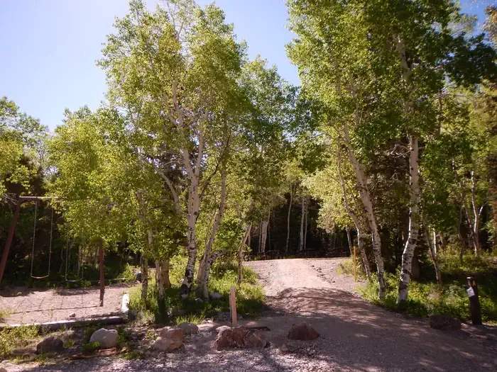 Timber Creek CampgroundCampingPhoto: Recreation.gov (RIDB) / public domain3.6 mi
- Brennan Mine LoopHiking3.6 mi
- South Fork Timber CreekHiking3.7 mi
- North Fork Timber CreekHiking3.7 mi
- MILLER CANYONHiking4 mi
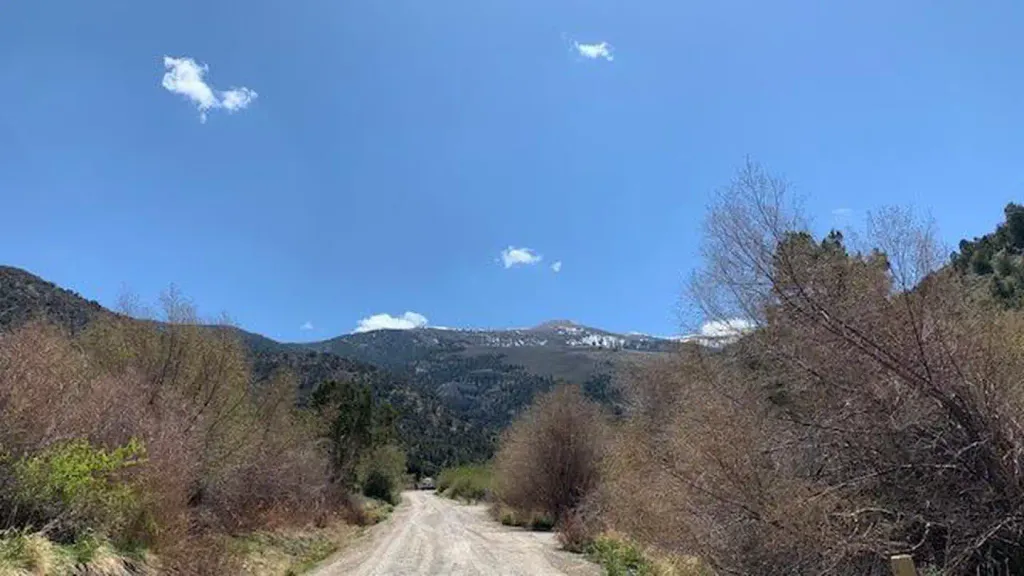 Bird Creek CampgroundCampingPhoto: Recreation.gov (RIDB) / public domain7.9 mi
- Bird Creek Group Picnic AreaCamping8 mi
Source: Roamze catalog (indexable pages within 10 miles, PostGIS distance)
 North Schell Peak Summit RouteHiking · ~8 min drivePhoto: cm195902, CC BY 2.0 (via Flickr)
- South Fork Timber CreekHiking · ~6 min drive
- Gilford Creek TrailHiking · ~7 min drive
- Cottonwood Spring TrailHiking · ~19 min drive
- North Fork Timber Creek TrailHiking · ~8 min drivePhoto: cm195902, CC BY 2.0 (via Flickr)
- North Fork Timber CreekHiking · ~6 min drive
- Flaming Juniper TrailHiking · ~10 min drive
- Berry CreekHiking · ~3 min drive
- MILLER CANYONHiking · ~7 min drive
- SOUTH TAFT CREEK TRAILHiking · ~10 min drive

