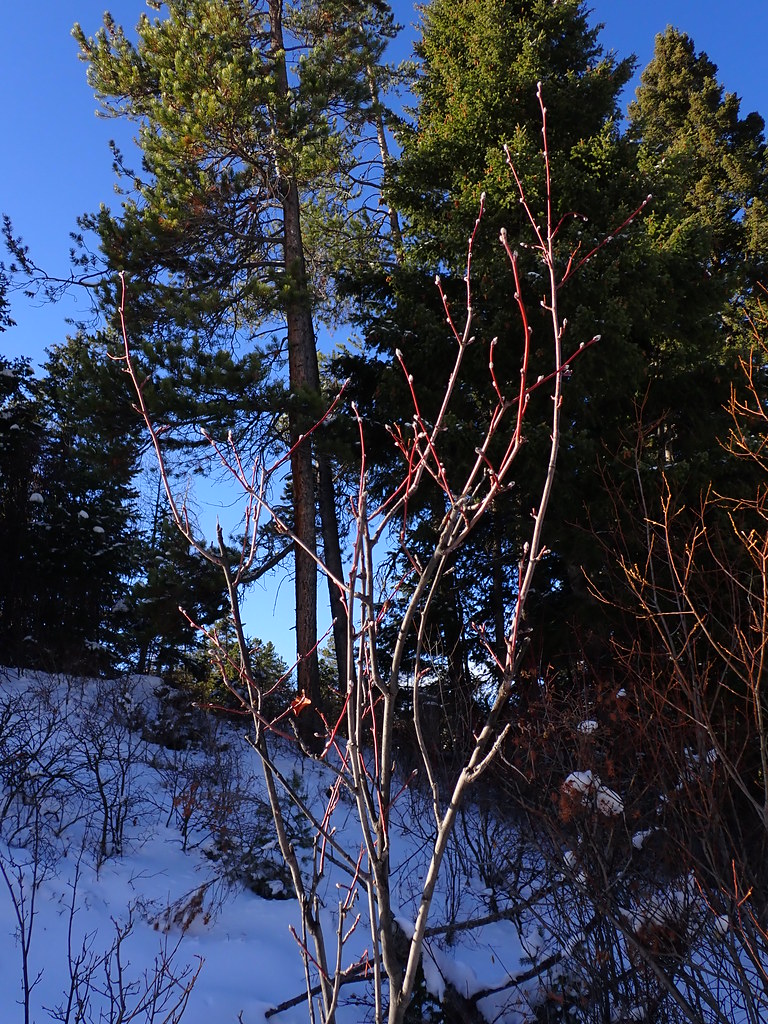
Bear Canyon Campground
Campground
Campground · 3.6 mi from the trail
New World Gulch is a ski touring route in Montana, about 4 miles from the town of Chestnut. It is an out-and-back trip of roughly 9.4 miles, with a total climb of about 2,167 feet and a high point of 6,937 feet. The route is rated moderate, and the steepest stretch comes at about 3.4 miles, where the grade reaches 26%. Summer is the most comfortable time to go. Typical averages from a nearby weather station at Big Sky show July highs around 78°F with lows near 41°F, while winter highs stay in the 20s and 30s. The Moonshine hike and the Bear Canyon climbing area both sit within a quarter mile of the route. Chestnut Mountain is about 2.7 miles away, and Mystic Lake Cabin offers camping about 4 miles off.
Bear Canyon Campground
Campground
Blacksmith Italian
Restaurant
Places © OpenStreetMap contributors
More in EmigrantNot on Roamze yet. Their page has how to reach them.
Best months: July–September. Best months have typical highs of 55–85 °F, lows of 30 °F or warmer (32 °F where the station doesn't record snow), at most one snowy day and no more than 12 wet days.
Jan
30° / 9°
13 wet
Feb
34° / 9°
11 wet
Mar
42° / 17°
12 wet
Apr
48° / 23°
11 wet
May
58° / 30°
14 wet
Jun
67° / 36°
14 wet
Jul
78° / 41°
11 wet
Aug
77° / 39°
11 wet
Sep
68° / 33°
10 wet
Oct
53° / 25°
10 wet
Nov
37° / 16°
11 wet
Dec
27° / 9°
14 wet
Typical high / low (°F) and days with rain or snow, 1991–2020. Measured at Big Sky 2wnw, MT, 29.3 mi away at 6,590 ft. This station doesn't record snowfall. Source: NOAA NCEI U.S. Climate Normals 1991–2020.
SEE
Bear Canyon
Next door
Bear Canyon is a downhill ski area in Montana with 1 T-bar lift.
SKI
New World Gulch
~1 min drive
0.8 mi · Easy
SKI
Bozeman Creek Trail
~6 min drive
4.70-mile out-and-back trail in Montana with 7,153 ft of elevation gain.
SKI
Fs 6946
~13 min drive
0.4 mi
SKI
Lower Wildhorse Lick Trail
~12 min drive
0.35-mile out-and-back trail in Montana with 140 ft of elevation gain.
SKI
Bozeman Creek Trail
~6 min drive
3.47-mile out-and-back trail in Montana with 1,711 ft of elevation gain.
SKI
Fs 452
~14 min drive
0.7 mi
SKI
Lower Wildhorse Lick Trail
~12 min drive
0.51-mile out-and-back trail in Montana with 58 ft of elevation gain.
SKI
Bozeman Creek Trail
~7 min drive
Bozeman Creek Trail is a 1.22-mile cross-country ski trail in Montana with 1,291 feet of elevation gain.
SKI
Hyalite Canyon Road
~15 min drive
1.87-mile out-and-back road route in Hyalite Canyon with 321 ft gain.
Map and trail data © OpenStreetMap contributors