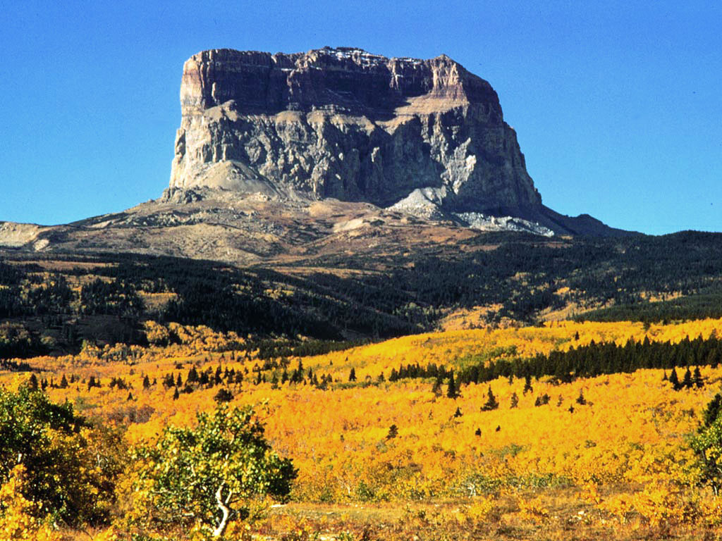
Milk River
Milk River is a river in Montana. It flows year-round.
- 9.1 mi
- distance
- 4,204 ft
- high point
Best time to visit Milk River
Best months: May–October. Best months have typical highs of 55–85 °F, lows of 30 °F or warmer (32 °F where the station doesn't record snow), at most one snowy day and no more than 12 wet days.
Jan
32° / 10°
Feb
35° / 12°
Mar
44° / 21°
Apr
55° / 29°
May
66° / 39°
Jun
73° / 47°
Jul
82° / 53°
Aug
82° / 51°
Sep
72° / 42°
Oct
57° / 32°
Nov
43° / 21°
Dec
32° / 12°
Typical high / low (°F) and days with rain or snow, 1991–2020. Measured at Sweetgrass, MT, 14.8 mi away at 3,510 ft. The station sits about 700 ft lower than this place, so expect it a little cooler here. This station doesn't record snowfall. Source: NOAA NCEI U.S. Climate Normals 1991–2020.
Milk River is a river in Montana. It flows year-round.
Make it a trip
Roamze builds the days around this water: where to sleep, where to eat after, what to do if it rains. You change anything.
Keep exploring — more water worth the drive
 Photo: Royalbroil, CC BY-SA 3.0 (via Wikimedia Commons)
Cut Bank Creek
~37 min drive
Cut Bank Creek is a 10-mile paddling stretch near Browning, Montana. It is intermittent and may run dry in some seasons. USGS models an average flow of about 182 cfs and a gradient of about 29.1 feet per mile.
Rising Sun
~57 min drive
 Photo: Steve Wilson, CC BY-SA 2.0 (via Wikimedia Commons)
Two Medicine River
~59 min drive
Two Medicine River is a 11-mile paddling stretch near East Glacier Park, Montana. It flows year-round. USGS models an average flow of about 369 cfs and a gradient of about 37.5 feet per mile.
Golden Stairs Boat Ramp
~57 min drive
 Photo: Royalbroil, CC BY-SA 3.0 (via Wikimedia Commons)
Saint Mary River
~1h 9m drive
Saint Mary River is an 8.1-mile paddling stretch near Browning, Montana. It flows year-round. USGS models an average flow of about 147 cfs and a gradient of about 117.0 feet per mile. Land along it is managed by the National Park Service.
Swiftcurrent Lake - Hotel
~1h 3m drive
North Fork Milk River
~19 min drive
North Fork Milk River is a 16-mile paddling stretch near Cut Bank, Montana. It flows year-round. USGS models an average flow of about 31 cfs and a gradient of about 18.2 feet per mile.
Swiftcurrent Boat Ramp
~1h 3m drive
Middle Fork Milk River
~23 min drive
Middle Fork Milk River is a 23-mile paddling stretch near Browning, Montana. It flows year-round. USGS models an average flow of about 56 cfs and a gradient of about 34.0 feet per mile.
Two Medicine - foot
~1h 3m drive