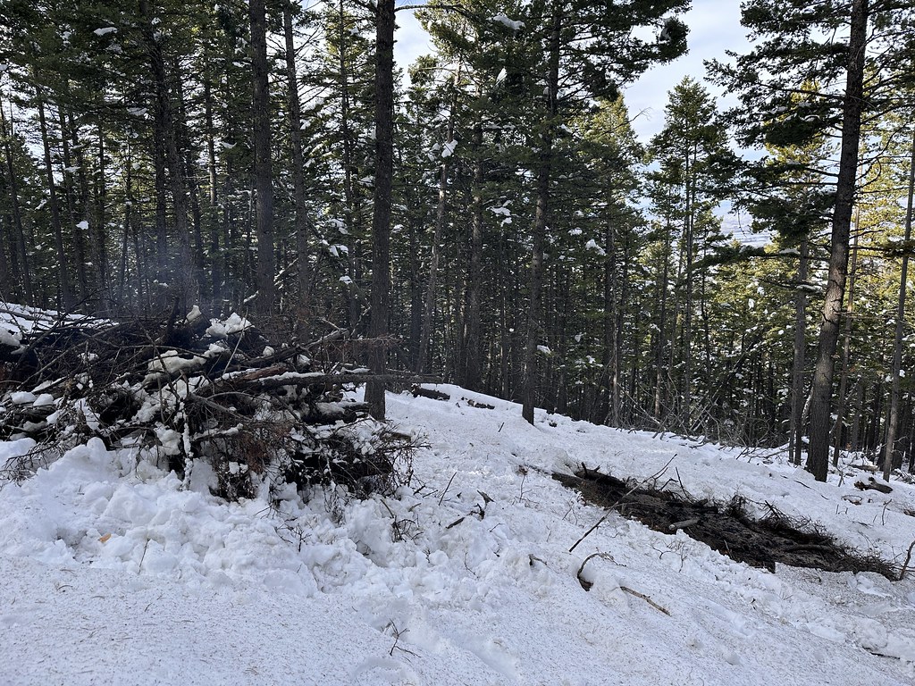
Fr980-001-Little Bear
Campground
Campground · 0.8 mi from the trail
Fs 980E is a short, easy mountain biking route in Montana, about half a mile from the Gallatin Gateway town. It's an out-and-back ride of under a mile, with a front-loaded climb that peaks at about 6,100 feet and a total gain of roughly 285 feet for the round trip. The route starts near 5,839 feet and rises to the high point of 6,100 feet, with the steepest stretch at about 0.22 miles in, where the grade reaches 14%. The climb is quick, and the trail returns to the starting elevation by the end of the out-and-back. Summer is the most comfortable time to ride. Typical averages from a nearby weather station in Bozeman show July highs around 82°F with lows near 52°F, and June and August run close behind. That station sits about 1,200 feet lower than the route's high point, so temperatures on the trail run cooler. Fs 6972B is about half a mile away, and Cliff Creek Road is under a mile off. For an overnight stay, Little Bear Cabin is about 2.5 miles away, and Lower Hyalite campground is about 4.5 miles away.
Fr980-001-Little Bear
Campground
Places © OpenStreetMap contributors, Places © Overture Maps Foundation
More in EmigrantSource: Roamze catalog (indexable pages within 10 miles, PostGIS distance)
Best months: July–September. Best months have typical highs of 55–85 °F, lows of 30 °F or warmer (32 °F where the station doesn't record snow), at most one snowy day and no more than 12 wet days.
Jan
34° / 15°
11 wet · 9 snow
Feb
37° / 17°
10 wet · 8 snow
Mar
46° / 24°
12 wet · 9 snow
Apr
54° / 30°
13 wet · 6 snow
May
63° / 39°
15 wet · 2 snow
Jun
72° / 46°
15 wet
Jul
82° / 52°
11 wet
Aug
81° / 50°
10 wet
Sep
71° / 42°
9 wet · 1 snow
Oct
57° / 32°
10 wet · 3 snow
Nov
42° / 22°
10 wet · 7 snow
Dec
33° / 14°
11 wet · 9 snow
Typical high / low (°F) and days with rain or snow, 1991–2020. Measured at Bozeman Montana State Univ, MT, 10.3 mi away at 4,913 ft. The station sits about 1,200 ft lower than this place, so expect it a little cooler here. Source: NOAA NCEI U.S. Climate Normals 1991–2020.
Map and trail data © OpenStreetMap contributors