Smith - Little Salmon
- 46.5 mi
- round trip
- 7,462 ft
- climb
- 7,958 ft
- high point
- Out and back
- route
Is Smith - Little Salmon open right now?
Alert in the area
The Forest Service lists 6 alerts for Flathead National Forest.
Ashley Lake North Campground Closure
Agency alert covering Flathead National Forest · Order 01-10- · USFS · Flathead National Forest
Camp Creek Fire Updated Trail Closure
Agency alert covering Flathead National Forest · Order 01-10- · USFS · Flathead National Forest
FK&L Area Closed to Public Access Starting July 22, 2026
Agency alert covering Flathead National Forest · Order 01-10- · USFS · Flathead National Forest
Trail 800 Tally-Ashely Closure
Agency alert covering Flathead National Forest · Order 01-10- · USFS · Flathead National Forest
Ryan Creek Occupancy and Use Order
Agency alert covering Flathead National Forest · Order 1-10- · USFS · Flathead National Forest
As of · Source: USFS · Flathead National Forest. Agencies don't list every closure — check before you go.
Smith - Little Salmon is a hard hike in Montana's Bob Marshall Wilderness, within the Spotted Bear Ranger District of Flathead National Forest. The trail is an out-and-back route of about 46.5 miles, with a one-way elevation gain of 7,462 feet. It starts at Smith Creek Trailhead #29 and parking, which is open year-round. The trail is natural-surface and allows horses, and it is not accessible. The route climbs from a low point of about 4,228 feet to a high point of about 7,958 feet. Nearby, Tango Point and Albino are both hikes within about 5 miles. Old Condon Ranger Station offers camping about 5.5 miles away, and the Foothills Trail - Barber Creek Road 905 Access campground is about 6.4 miles off.
- Tango PointHiking4.9 mi
- AlbinoHiking5.4 mi
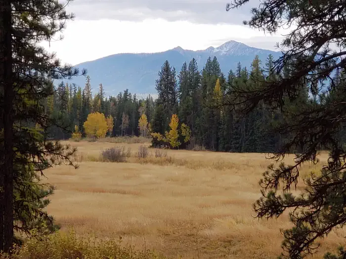 Old Condon Ranger StationCampingPhoto: Recreation.gov (RIDB) / public domain5.5 mi
- Foothills Trail - Barber Creek Road 905 AccessCamping6.4 mi
- Barber Creek Road/ Foothills Trail AccessCamping6.7 mi
- Lion - PalisadeHiking6.7 mi
- 10651-2 Pony Creek Dispersed Camping AreaCamping7 mi
- BrownieHiking7 mi
Source: Roamze catalog (indexable pages within 10 miles, PostGIS distance)
 Holland LookoutHiking · ~16 min drivePhoto: lumachrome, CC BY-SA 2.0 (via Flickr)
- E. Holland Lake Connect.Hiking · ~17 min drivePhoto: lumachrome, CC BY-SA 2.0 (via Flickr)
- Big Salmon CreekHiking · ~15 min drive
- East FoothillHiking · ~16 min drivePhoto: lumachrome, CC BY-SA 2.0 (via Flickr)
- AlbinoHiking · ~9 min drive
- Holland-SapphireHiking · ~16 min drive
- Tango PointHiking · ~8 min drive
- Lena PeakHiking · ~18 min drive
- Holland Lookout - SpurHiking · ~16 min drive
- Lion - PalisadeHiking · ~12 min drive
