Lion - Palisade
- 8.1 mi
- round trip
- 4,308 ft
- climb
- 6,999 ft
- high point
- Out and back
- route
Is Lion - Palisade open right now?
Alert in the area
The Forest Service lists 6 alerts for Flathead National Forest.
Ashley Lake North Campground Closure
Agency alert covering Flathead National Forest · Order 01-10- · USFS · Flathead National Forest
Camp Creek Fire Updated Trail Closure
Agency alert covering Flathead National Forest · Order 01-10- · USFS · Flathead National Forest
FK&L Area Closed to Public Access Starting July 22, 2026
Agency alert covering Flathead National Forest · Order 01-10- · USFS · Flathead National Forest
Trail 800 Tally-Ashely Closure
Agency alert covering Flathead National Forest · Order 01-10- · USFS · Flathead National Forest
Ryan Creek Occupancy and Use Order
Agency alert covering Flathead National Forest · Order 1-10- · USFS · Flathead National Forest
As of · Source: USFS · Flathead National Forest. Agencies don't list every closure — check before you go.
Lion - Palisade is a hard out-and-back hike in the Spotted Bear Ranger District of Flathead National Forest in northwest Montana. The route climbs from about 6,989 feet to a high point of nearly 7,000 feet, with a total elevation gain of about 4,308 feet over a round trip of about 8.1 miles. The steepest stretch comes early, around the 1-mile mark, where the grade reaches about 25 percent. The trail is on natural surface and allows horses, and it is not accessible. The Forest Service manages the land, and the hike is open year-round, with an estimated time of about five hours for the round trip. For more time on foot, Sunburst Lake lies about 3.3 miles away and Cannon Creek about 5.7 miles away. Van Lake campground sits roughly 8 miles off, and the 10651-2 Pony Creek Dispersed Camping Area is about 9.1 miles away.
Local outfitters
- Rocky Mountain Outfitter48 mi away
Not on Roamze yet. Their page has how to reach them.
- Sunburst LakeHiking3.3 mi
- Cannon CreekHiking5.7 mi
- Gorge CreekCanoeing5.8 mi
- Squeezer CreekHiking6.7 mi
- Van LakeCamping8 mi
- 10651-2 Pony Creek Dispersed Camping AreaCamping9.1 mi
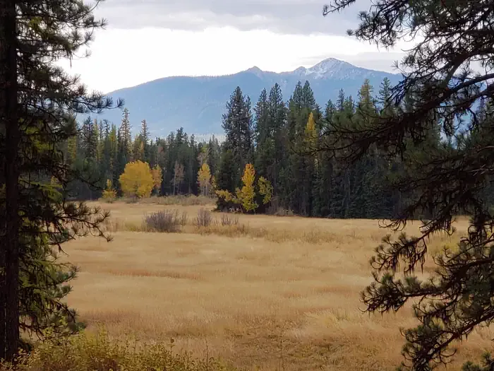 Old Condon Ranger StationCampingPhoto: Recreation.gov (RIDB) / public domain9.7 mi
- Bunker CreekCanoeing10 mi
Source: Roamze catalog (indexable pages within 10 miles, PostGIS distance)
- Sunburst LakeHiking · ~6 min drive
- Sunburst LakeHiking · ~8 min drive
- Cannon CreekHiking · ~10 min drive
- Picture LakeHiking · ~13 min drive
- Gorge CreekHiking · ~11 min drive
- Squeezer CreekHiking · ~11 min drive
- Cilly RidgeHiking · ~17 min drive
- Napa LookoutHiking · ~15 min drive
- Smith - Little SalmonHiking · ~12 min drive
- Big Salmon CreekHiking · ~18 min drive
