Loading…

Free — you'll pick up right here.
Watch this trail
Sign up to watch it — saving subscribes you to gate, closure and report changes.
Montana
62.6 mi
Distance
1,382 ft
Gain
21h 34m
Time
We won't guess. Here is exactly what we do and don't know.
What we do know
Inside Lolo National Forest
2 managing-area boundaries mapped — agency alerts for them feed this page automatically.
Boundary data
What's missing
No access route mapped
We don't yet know which road reaches this trailhead, so we can't tell you if it's gated.
Nobody's filed a report here yet — be the first.
Why you'll love it
Rte of the Olympian
AI-suggested draft · review before you go
No permit or access details on file for this trail — check with the local land manager before you go.
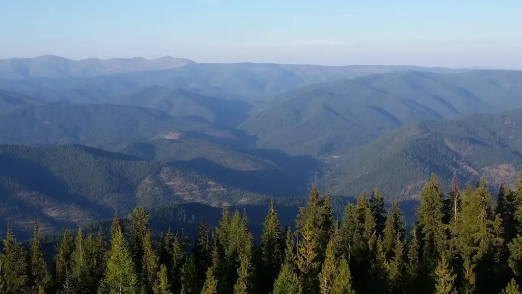
Route of the Olympian is an extensive 62.6-mile trail traversing Montana's diverse terrain with modest elevation gain of 1,382 feet, making it accessible for long-distance hikers seeking a multi-day adventure. This historic route likely follows rail or wagon corridors through varied landscapes, offering a unique perspective on Montana's transportation heritage and natural beauty. The relatively low elevation gain over such distance suggests a well-graded path suitable for endurance hiking rather than technical climbing.
Maynard Loge Nature Conserv.
~1 min drive
Easy, short nature walk through a protected Montana preserve.
Dry Creek Divide
~6 min drive
Remote 29-mile alpine divide crossing with 4,277 ft elevation gain.
Ann Arbor
~14 min drive
Moderate 5.3-mile climb with 2,669 ft gain near Ann Arbor, Montana.
Moore Lake -- South
~17 min drive
Easy lakeside walk with minimal elevation gain near Moore Lake.
Mayo Gulch
~9 min drive
Moderate 10.58-mile gulch hike through forested drainages and meadows.
Flat Rock Ridge
~17 min drive
Moderate 11-mile ridge hike with steady elevation gain and panoramic views.
Cliff Lake
~18 min drive
Short alpine lake hike with scenic views and modest elevation gain.
Ward Creek
~17 min drive
Moderate 5.48-mile climb gaining 2,362 ft in Ward Creek drainage.
Acorn Lake
~22 min drive
Moderate 3.33-mile climb to an alpine lake with 1,483 ft elevation gain.
Dee Creek
~19 min drive
Accessible creek-side hike with modest elevation gain in central Montana.
Also worth it near here