Rock Creek
- 5.4 mi
- round trip
- 2,215 ft
- climb
- 6,993 ft
- high point
- Out and back
- route
- Jul–Sep
- best months
Caution at last check
Agency alerts are in effect for this area; weather is marginal · USFS, OpenWeather · checked 12 h ago
Is ROCK CREEK open right now?
Closure in the area
There's a closure order in Beaverhead-Deerlodge National Forest. It doesn't name ROCK CREEK, so check the source for the area it covers (2 listed).
Annual Food Storage Order
Agency closure covering Beaverhead-Deerlodge National Forest · Order 02-00-22-02 · USFS · Beaverhead-Deerlodge National Forest
Pallet Prohibition Order Butte Ranger District
Agency closure covering Beaverhead-Deerlodge National Forest · Order 01020425-01 · USFS · Beaverhead-Deerlodge National Forest
Lost Creek Area - Road Closure
Agency alert covering Beaverhead-Deerlodge National Forest · USFS · Beaverhead-Deerlodge National Forest
Montana BDR Alternative Route
Agency alert covering Beaverhead-Deerlodge National Forest · USFS · Beaverhead-Deerlodge National Forest
Lost Creek Area - Road Closure
Agency alert covering Beaverhead-Deerlodge National Forest · Order 01020826-02 · USFS · Beaverhead-Deerlodge National Forest
As of · Source: USFS · Beaverhead-Deerlodge National Forest. Agencies don't list every closure — check before you go.
Rock Creek is a hard out-and-back hike in the Pintler Ranger District of the Beaverhead-Deerlodge National Forest in Montana. The route starts at about 5,880 feet and climbs to a high point of 6,993 feet, with a total gain of 2,215 feet over its 10.7-mile round trip. The steepest stretch comes early, around the 1.1-mile mark, where the grade reaches 24 percent. The most comfortable months for a visit are July and August, when typical averages from a nearby weather station run near 80°F for highs and 44 to 46°F for lows. That station sits well below the trail, so temperatures on the high ridge run cooler. The trip takes about 4.5 hours. Dolus Lakes lies just 0.1 mile from the start, and the Doney Lake Connection and Doney Lake hikes are both within about a mile and a half. Doney Cabin is 1.6 miles away for an overnight stay.
Local outfitters
- Copper Court RV Park21 mi away
- MTBCity44 mi away
Not on Roamze yet. Their page has how to reach them.
- DOLUS LAKESHiking0.1 mi
- DONEY LAKE CONNECTIONHiking1.1 mi
- DONEY LAKEHiking1.4 mi
- Doney CabinCamping1.6 mi
- ELLIOT LAKESHiking2.4 mi
- PIKES PEAKHiking3.2 mi
- Douglas Creek CabinCamping9.8 mi
- Racetrack CabinCamping9.8 mi
Source: Roamze catalog (indexable pages within 10 miles, PostGIS distance)
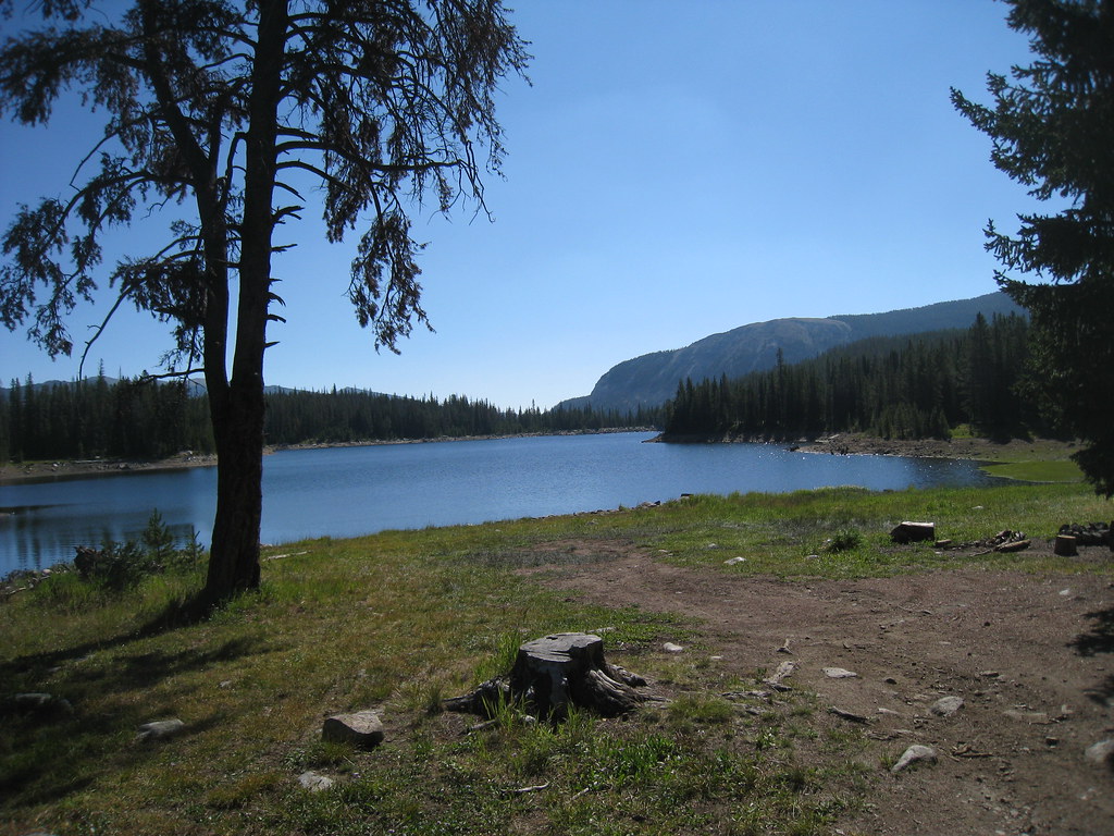 LITTLE RACE TRACK LAKEHiking · ~21 min drivePhoto: GSEC, CC BY 2.0 (via Flickr)
- DONEY LAKE CONNECTIONHiking · ~2 min drive
- ELLIOT LAKESHiking · ~4 min drive
- BOWMAN LAKESHiking · ~17 min drive
 MUDD LAKEHiking · ~21 min drivePhoto: GSEC, CC BY 2.0 (via Flickr)
- DONEY LAKEHiking · ~2 min drive
- TRASK LAKESHiking · ~6 min drive
- FOSTER CREEKHiking · ~29 min drive
- PIKES PEAKHiking · ~6 min drive
- MEADOW LAKESHiking · ~8 min drive
Best time to visit ROCK CREEK
Best months: July–September. Best months have typical highs of 55–85 °F, lows of 30 °F or warmer (32 °F where the station doesn't record snow), at most one snowy day and no more than 12 wet days.
Jan
32° / 8°
7 wet
Feb
35° / 10°
7 wet
Mar
44° / 19°
9 wet
Apr
51° / 26°
11 wet
May
61° / 34°
13 wet
Jun
70° / 41°
13 wet
Jul
81° / 46°
9 wet
Aug
80° / 44°
8 wet
Sep
69° / 36°
7 wet
Oct
54° / 27°
8 wet
Nov
40° / 16°
8 wet
Dec
31° / 7°
7 wet
Typical high / low (°F) and days with rain or snow, 1991–2020. Measured at Butte Bert Mooney Ap, MT, 38.5 mi away at 5,506 ft. The station sits about 1,500 ft lower than this place, so expect it a little cooler here. This station doesn't record snowfall. Source: NOAA NCEI U.S. Climate Normals 1991–2020.
