Doney Lake Connection
- 0.5 mi
- round trip
- 589 ft
- climb
- 6,435 ft
- high point
- Out and back
- route
- May–Sep
- best months
Is DONEY LAKE CONNECTION open right now?
Closure in the area
There's a closure order in Beaverhead-Deerlodge National Forest. It doesn't name DONEY LAKE CONNECTION, so check the source for the area it covers (2 listed).
Annual Food Storage Order
Agency closure covering Beaverhead-Deerlodge National Forest · Order 02-00-22-02 · USFS · Beaverhead-Deerlodge National Forest
Pallet Prohibition Order Butte Ranger District
Agency closure covering Beaverhead-Deerlodge National Forest · Order 01020425-01 · USFS · Beaverhead-Deerlodge National Forest
Lost Creek Area - Road Closure
Agency alert covering Beaverhead-Deerlodge National Forest · USFS · Beaverhead-Deerlodge National Forest
Montana BDR Alternative Route
Agency alert covering Beaverhead-Deerlodge National Forest · USFS · Beaverhead-Deerlodge National Forest
Lost Creek Area - Road Closure
Agency alert covering Beaverhead-Deerlodge National Forest · Order 01020826-02 · USFS · Beaverhead-Deerlodge National Forest
As of · Source: USFS · Beaverhead-Deerlodge National Forest. Agencies don't list every closure — check before you go.
Doney Lake Connection is a short, easy hike in the Pintler Ranger District of the Beaverhead-Deerlodge National Forest in Montana, managed by the Forest Service. The trail is about half a mile long and rises roughly 300 feet from its starting point, with a total round-trip gain of about 590 feet. The climb is steady, and the steepest stretch comes at about 0.44 miles in, with an 8% grade. Summer is the most comfortable time to go. Typical averages from a nearby weather station in Deer Lodge show July and August highs around 79°F with lows in the mid-40s, while winter highs stay in the low 30s. Doney Lake is about 0.4 miles away, and Doney Cabin is about half a mile off. Dolus Lakes and Rock Creek are each about 1.1 miles away.
Local outfitters
- Copper Court RV Park22 mi away
- MTBCity44 mi away
Not on Roamze yet. Their page has how to reach them.
- DONEY LAKEHiking0.4 mi
- Doney CabinCamping0.5 mi
- DOLUS LAKESHiking1.1 mi
- ROCK CREEKHiking1.1 mi
- PIKES PEAKHiking2.5 mi
- ELLIOT LAKESHiking3.4 mi
- TRASK LAKESHiking3.9 mi
- Douglas Creek CabinCamping9 mi
Source: Roamze catalog (indexable pages within 10 miles, PostGIS distance)
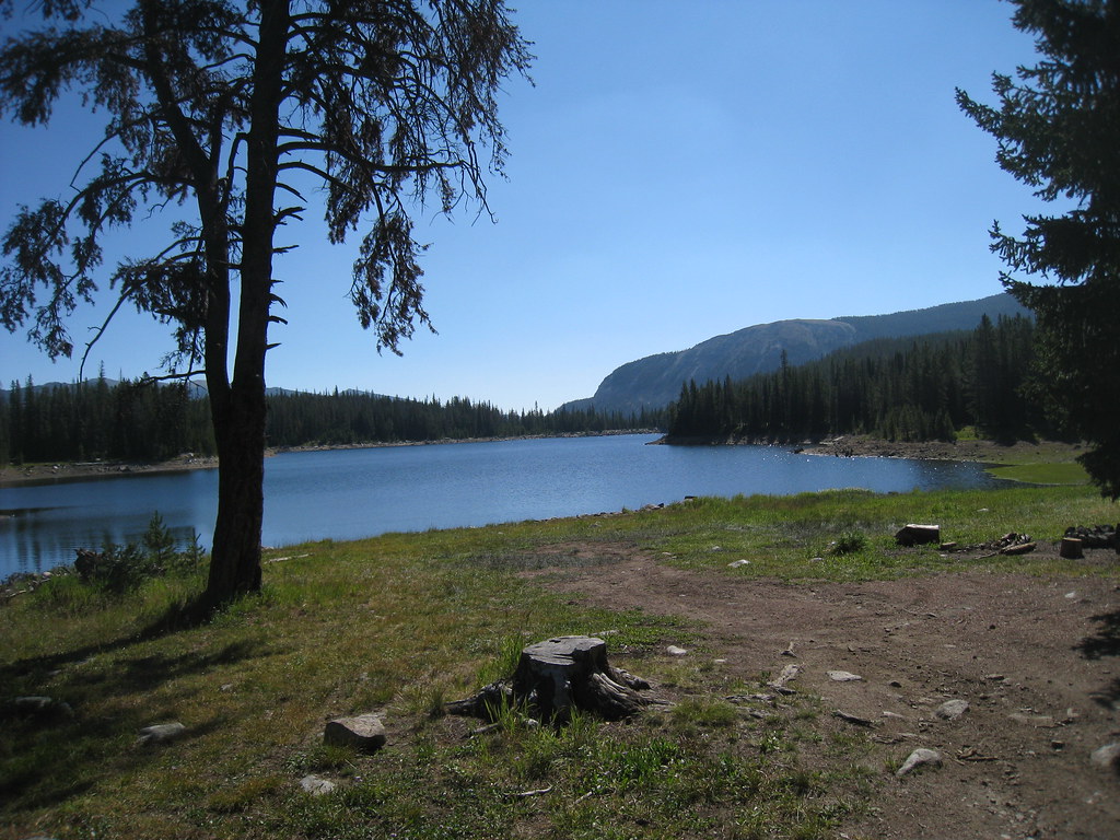 LITTLE RACE TRACK LAKEHiking · ~21 min drivePhoto: GSEC, CC BY 2.0 (via Flickr)
- DONEY LAKEHiking · Next door
- DOLUS LAKESHiking · ~2 min drive
- BOWMAN LAKESHiking · ~19 min drive
 MUDD LAKEHiking · ~21 min drivePhoto: GSEC, CC BY 2.0 (via Flickr)
- MEADOW LAKESHiking · ~8 min drive
- ELLIOT LAKESHiking · ~6 min drive
- FOSTER CREEKHiking · ~30 min drive
- PIKES PEAKHiking · ~4 min drive
- GOAT LAKE LATERALHiking · ~10 min drive
Best time to visit DONEY LAKE CONNECTION
Best months: May–September. Best months have typical highs of 55–85 °F, lows of 30 °F or warmer (32 °F where the station doesn't record snow), at most one snowy day and no more than 12 wet days.
Jan
33° / 11°
Feb
36° / 13°
Mar
44° / 19°
Apr
53° / 26°
May
62° / 34°
Jun
69° / 40°
Jul
79° / 44°
Aug
79° / 42°
Sep
70° / 35°
Oct
55° / 26°
Nov
40° / 16°
Dec
31° / 11°
Typical high / low (°F) and days with rain or snow, 1991–2020. Measured at Deer Lodge 3 W, MT, 8.3 mi away at 4,850 ft. The station sits about 1,600 ft lower than this place, so expect it a little cooler here. This station doesn't record snowfall. Source: NOAA NCEI U.S. Climate Normals 1991–2020.
