Rainy Divide
- 27.6 mi
- round trip
- 2,912 ft
- climb
- 5,272 ft
- high point
- Out and back
- route
Caution at last check
Agency alerts are in effect for this area; weather is marginal · USFS, OpenWeather · checked 19 h ago
Is Rainy Divide open right now?
Closure in the area
There's a closure order in Kootenai National Forest. It doesn't name Rainy Divide, so check the source for the area it covers.
Kootenai Flood Event & Inaccessible Areas
Agency closure covering Kootenai National Forest · USFS · Kootenai National Forest
Updated Skillet Fire Area, Road, Trail Closure
Agency alert covering Kootenai National Forest · Order 01-10- · USFS · Kootenai National Forest
Trail Advisory-Alexander Mountain Trail near Timber Harvest Activities
Agency alert covering Libby Ranger District · USFS · Libby Ranger District
Timberlane Campground Closure
Agency alert covering Libby Ranger District · Order 01-14-05-26-03 · USFS · Libby Ranger District
As of · Source: USFS · Kootenai National Forest. Agencies don't list every closure — check before you go.
Rainy Divide is a hard out-and-back hike in the Libby Ranger District of Montana's Kootenai National Forest, about 27.6 miles long with a one-way elevation gain of 2,912 feet. The trail rises from a low point of 2,141 feet to a high point of 5,272 feet, and it is open from May 1 through November 30. The trail is on natural surface and allows both horses and bikes, according to the Forest Service's trail records. The trailhead is listed as Rainey Divide TH 12S (RD 401), and the nearby Rainy Divide Loop / Canoe Gulch #512 hike starts about half a mile away. The Kootenai River, about 2.5 miles off, offers river fishing, and the Jennings Tote and Tony Peak hikes are also within about 3 miles. For an overnight stay, McGillivray Campground (MT) is about 7 miles away.
Local outfitters
- Kootenai River Campground26 mi away
- Indian Springs Montana39 mi away
Not on Roamze yet. Their page has how to reach them.
- Rainy Divide Loop / Canoe Gulch #512Hiking0.5 mi
- Kootenai RiverRiver fishing2.5 mi
- Jennings ToteHiking2.5 mi
- Tony PeakHiking3 mi
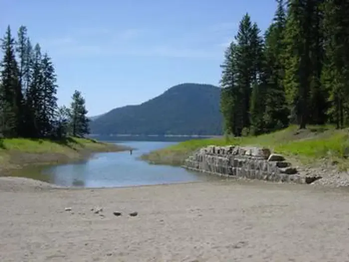 McGillivray Campground (MT)CampingPhoto: Recreation.gov (RIDB) / public domain7.1 mi
- Barron Creek Boating SiteRiver fishing9.2 mi
- Cripple Cripple Horse Meadow Site 4Camping9.2 mi
- Cripple Cripple Horse Meadow Site 5Camping9.3 mi
Source: Roamze catalog (indexable pages within 10 miles, PostGIS distance)
 Whoop UpHiking · ~14 min drivePhoto: Tony Webster, CC BY 2.0 (via Flickr)
- Sheldon Mountain Tie MHiking · ~15 min drivePhoto: Tony Webster, CC BY 2.0 (via Flickr)
- Alexander Mountain Trail #270Hiking · ~7 min drive
- Sheldon Mountain Tie JHiking · ~14 min drive
- Rainy Divide Loop / Canoe Gulch #512Hiking · Next door
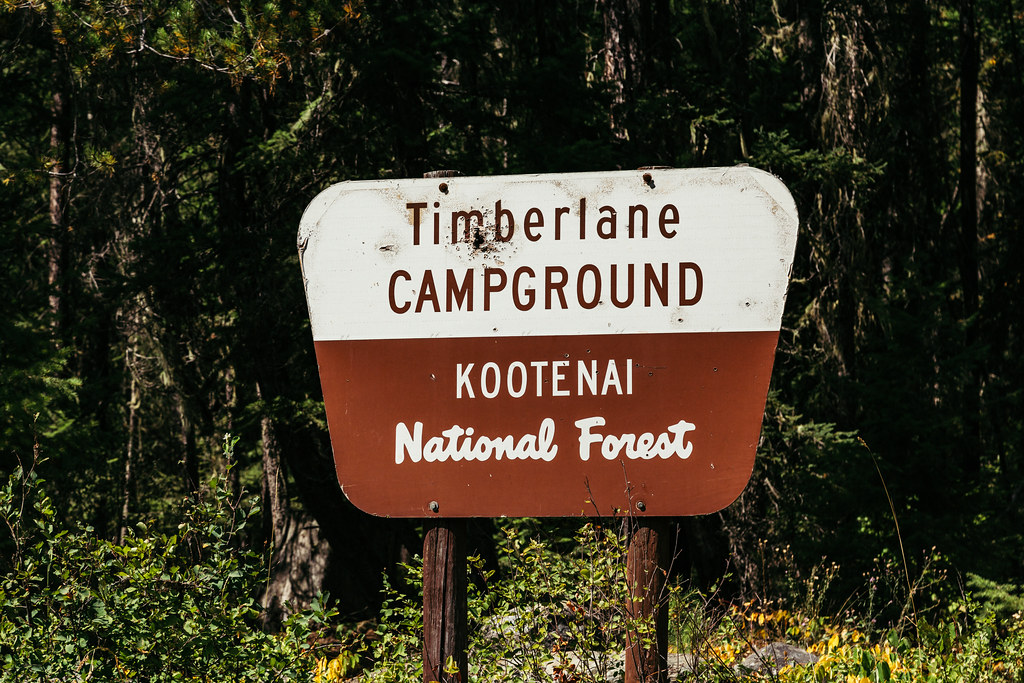 TimberlaneHiking · ~16 min drivePhoto: Tony Webster — CC BY 2.0 (via Flickr)
- ALEXANDER MOUNTAINHiking · ~8 min drive
- Blue MountainHiking · ~14 min drive
- Jennings ToteHiking · ~4 min drive
- Swede Mtn Bike TrailHiking · ~8 min drive
