Prairie Cr
- 8.4 mi
- round trip
- 2,093 ft
- climb
- 7,048 ft
- high point
- Out and back
- route
Is Prairie Cr open right now?
Alert in the area
The Forest Service lists an alert for Rocky Mountain Ranger District.
Camp Creek Fire Trail Closure
Agency alert covering Rocky Mountain Ranger District · Order 01-10- · USFS · Rocky Mountain Ranger District
As of · Source: USFS · Rocky Mountain Ranger District. Agencies don't list every closure — check before you go.
Prairie Cr is a hard hike in Montana's Bob Marshall Wilderness, part of the Rocky Mountain Ranger District of the Helena-Lewis and Clark National Forest. The trail is about 8.4 miles long and climbs from a low point of about 4,955 feet to a high of about 7,048 feet, with a total elevation gain of about 2,093 feet. The Forest Service manages the land, and the route is an out-and-back. The trail is natural-surfaced and accessible only to hikers and horses. Bikes are not allowed. The Forest Service lists it as not an accessible trail. The hiking season typically runs from May 15 to November 1. The closest neighbor is the P. Prairie Admin Connector, under a mile away. South Fork Sun Low Water and Windfall Creek are within about 2.4 miles. For overnight stays, Kenck Cabin sits about 4.9 miles off.
Local outfitters
- Choteau Mountain View RV Campground39 mi away
Not on Roamze yet. Their page has how to reach them.
- P. Prairie Admin ConnectorHiking0.8 mi
- South Fork Sun Low WaterHiking1.8 mi
- Windfall CreekHiking2.4 mi
- Kenck CabinCamping4.9 mi
- South Fork CgCamping5.2 mi
- Benchmark CgCamping6.3 mi
 Sun RiverCanoeingPhoto: Qfl247 (Transferred by Citypeek/Original uploaded by Qfl247), CC BY-SA 3.0 (via Wikimedia Commons)6.8 mi
- South Fork Sun RiverCanoeing8.9 mi
Source: Roamze catalog (indexable pages within 10 miles, PostGIS distance)
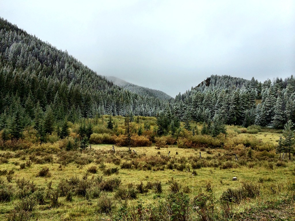 North Fork Beaver-LeavittHiking · ~12 min drivePhoto: Forest Service - Northern Region, CC BY 2.0 (via Flickr)
 FAIRVIEW CREEKHiking · ~12 min drivePhoto: Sam Beebe, CC BY 2.0 (via Flickr)
 Beaver-Mortimer ConnectorHiking · ~14 min drivePhoto: Sam Beebe, CC BY 2.0 (via Flickr)
- Deer CreekHiking · ~7 min drive
- Windfall CreekHiking · ~4 min drive
- P. Prairie Admin ConnectorHiking · ~1 min drive
- Arsenic CreekHiking · ~9 min drive
- Bighead CreekHiking · ~5 min drive
- South Fork Sun Low WaterHiking · ~3 min drive
- Circle CreekHiking · ~13 min drive
