Pole Creek
- 3.4 mi
- round trip
- 2,744 ft
- climb
- 8,055 ft
- high point
- Out and back
- route
Caution at last check
Agency alerts are in effect for this area; weather is marginal · USFS, OpenWeather · checked 14 h ago
Is POLE CREEK open right now?
No closures listed
The Forest Service lists no closures for Helena-Lewis and Clark National Forest.
As of · Source: USFS · Helena-Lewis and Clark National Forest. Agencies don't list every closure — check before you go.
Pole Creek is a hard hike in Montana's Helena-Lewis and Clark National Forest, within the Townsend Ranger District. It's an out-and-back route of about 6.8 miles, with a total climb of roughly 2,744 feet and a high point of about 8,055 feet. The trail starts at about 5,637 feet and ends at the same elevation, so the full trip adds up to about 5,500 feet of elevation change. The steepest stretch comes early on, with a grade of about 22% at mile 0.8. The route is rated hard. Plan on about 3.5 hours for the round trip. Beaver Creek lies just 0.1 mile away, and 117 Pole Creek and Sheep Park are both within about 3 miles. Camping is close by at Tizer/Montgomery Park Gfa - Four-Way Jct Cua, about 7.5 miles away, and White Earth Campground is about 8.4 miles off.
Local outfitters
- MTBCity19 mi away
Not on Roamze yet. Their page has how to reach them.
- Beaver CreekHiking0.1 mi
- 117 Pole CreekHiking2.1 mi
- Sheep ParkHiking3.1 mi
- Montgomery ParkHiking4.1 mi
- Tizer/Montgomery Park Gfa - Four-Way Jct CuaCamping7.5 mi
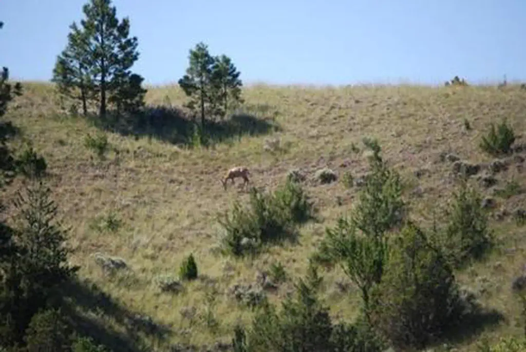 White Earth CampgroundCampingPhoto: Recreation.gov (RIDB) / public domain8.4 mi
- Strawberry CabinCamping8.7 mi
- Evening RockRock climbing9.4 mi
Source: Roamze catalog (indexable pages within 10 miles, PostGIS distance)
- 117 Pole CreekHiking · ~4 min drive
- Montgomery ParkHiking · ~7 min drive
- Eagle Interpretive Short LoopHiking · ~14 min drive
- Sheep ParkHiking · ~5 min drive
- Casey MeadowsHiking · ~10 min drive
- GOLDEN AGE CUTOFFHiking · ~15 min drive
- Falls CreekHiking · ~14 min drive
- Long ParkHiking · ~11 min drive
- McMasters East Loop ContourHiking · ~22 min drive
- Eagle InterpretiveHiking · ~16 min drive

